After visiting almost 40 U.S. National Parks, I can confidently say that Texas’ Big Bend is seriously underrated. Located within the Chihuahuan Desert, the park features soaring canyons, the rugged Chisos Mountains, and 118 miles of the snaking Rio Grande. After spending a week here, we’ve put together a list of the best things to do in Big Bend National Park—and plenty of tips to help make the most of your time in this wildly beautiful place.
This post may contain affiliate links. If you make a purchase through them, we may receive a small commission, for which we are extremely grateful, at no extra cost to you.
Pssst… looking for more cool hikes in Texas? Check out:
How to get to Big Bend National Park
Big Bend National Park is pretty remote, located along the southern border of West Texas.
In fact, it’s a bit of a hike to get to from pretty much everywhere. On one hand, this can be a bit logistically challenging, but, on the other, the park is WAY less crowded than it otherwise would be.
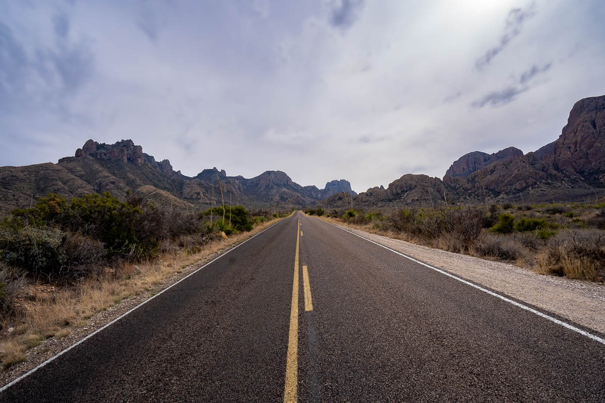
Here’s how long it takes to get to Big Bend from some of major cities in Texas:
- El Paso: 4 and a half hours
- San Antonio: 6 hours
- Austin: 7 hours
- Dallas: 8 hours and 15 minutes
- Houston: 10 hours
Accordingly, you’ll definitely need a rental car to get to and from Big Bend!
To enter Big Bend, it costs $30 per private vehicle for up to a week in the park. Alternatively, you can purchase an America the Beautiful pass, which costs $80 and gets you into all of the U.S. National Parks and 2,000 federally managed sites for free for an entire year.
Pssst... if you're driving to Big Bend from the El Paso area, I'd strongly recommend stopping in the artsy mecca of Marfa, Texas on your way. There's so many cool things to do in Marfa, from enjoying the world class artwork to seeing its famed mystery orbs of light, that would be a shame to miss when you're in this (kinda middle-of-nowhere) neck of the woods!
Best Things to do in Big Bend National Park
Big Bend National Park is pretty massive, sprawling at a whopping 1,252 square miles. Accordingly, it’s loosely broken up into a few sections:
- the centrally-located Chisos Basin, which is the most popular section of the park; and
- the Rio Grande Village to the east, which is probably the second busiest section; and
- Santa Elena Canyon to the southwest, which tends to be a bit quieter, but offers some of the park’s most beautiful attractions.
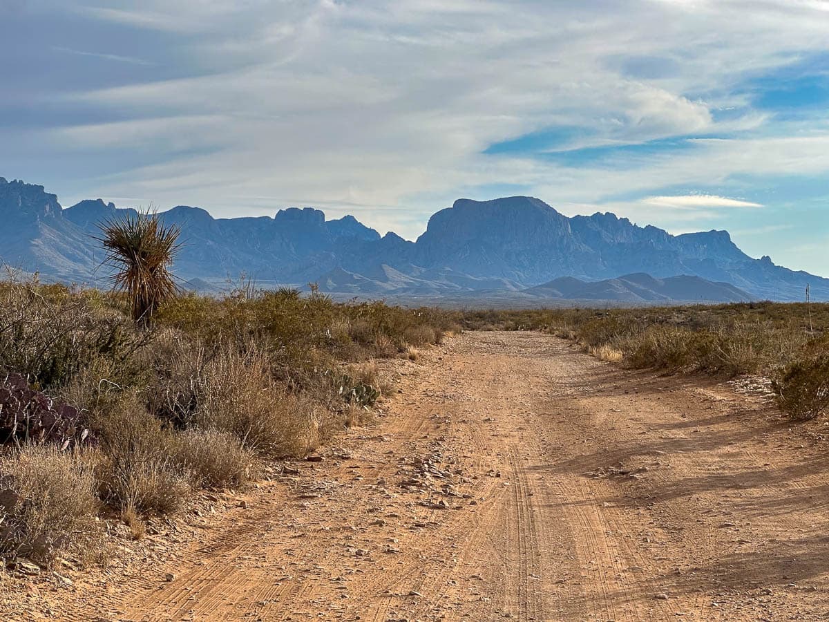
It can take up to two hours to drive between these sections, so I’d suggest trying to plan your itinerary by exploring all of the things you’re interested in a particular area at one time.
Things to do in the Chisos Basin area
Before we dive into what to do in the Chisos Basin area, it’s worth mentioning that the only way to access it is a narrow and windy road with limited parking.
The spots that are available can fill up quickly, especially during busy times in the park, like spring break or weekends during spring and fall. In fact, the road can get so busy that rangers will completely close down the entrance to this area, until enough visitors have left and freed up some space.
My husband, Justin, and I made the very poor choice of visiting the park during spring break AND waiting until late in the morning to visit the Chisos Basin area—and wound up having to wait about two hours in line to access the road.
Accordingly, if you’re visiting during one of the park’s busier timeframes, like weekends in spring or fall, I’d highly recommend getting here on the early side so that you can score a parking spot without having to wait!
1. Lost Mine Trail
- Length: 4.8 miles
- Elevation gain: 1,131 feet
- Difficulty: Moderate
- Trail map
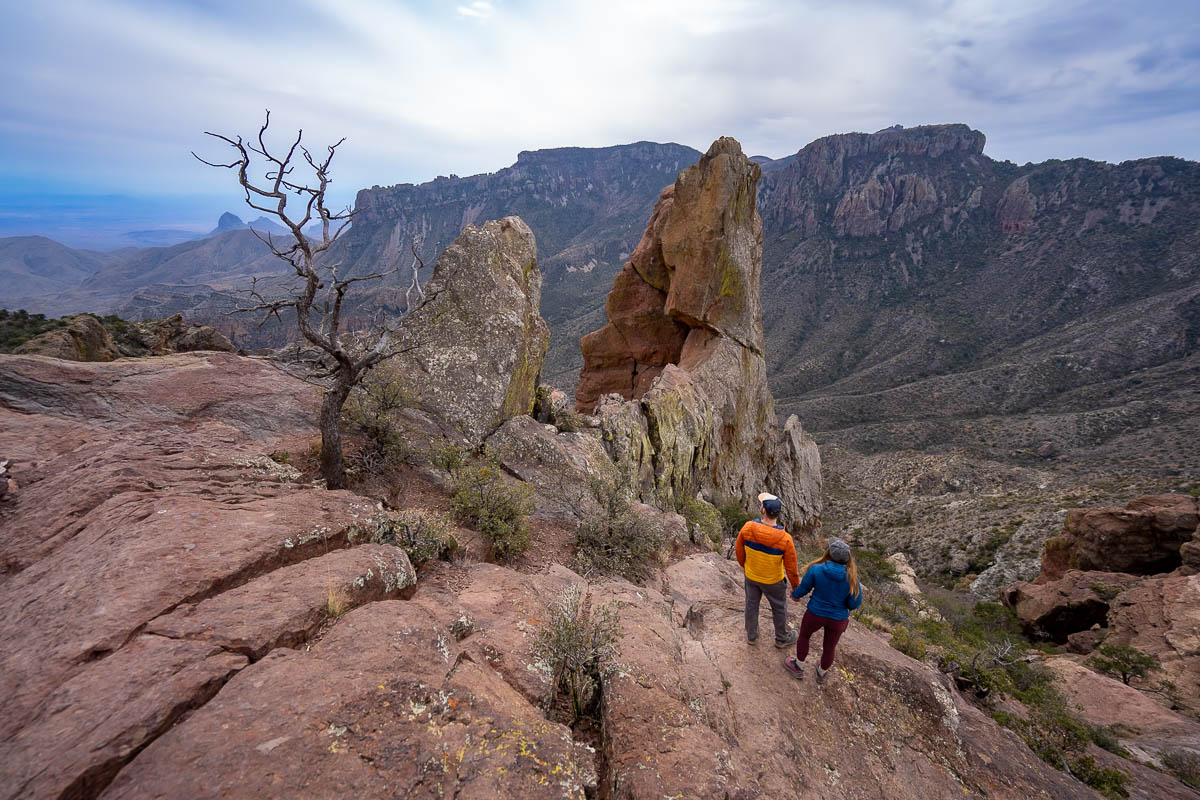
If we had to recommend just one hike in Big Bend, it would be the Lost Mine Trail.
Along the first portion of the trail, you’ll get peekaboo glimpses of the South Rim of the Chisos Basin and Juniper Canyon. However, the REAL views start the last half mile, when you reach the top of the mountain’s slickrock ridgeline.
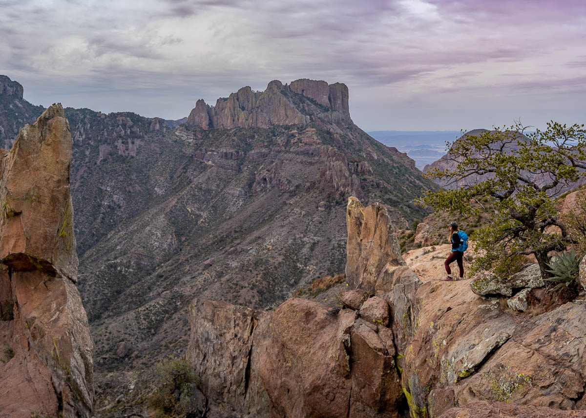
From here, you’ll pass stunning volcanic rock formations, like Elephant Tusk, and sweeping views of the surrounding mountains, Casa Grande and Lone Mine Peak. In my opinion, it’s some of the best views in all of Big Bend, which is saying a LOT!
2. Window Trail
- Length: 5.5 miles
- Elevation gain: 961 feet
- Difficulty: Moderate
- Trail map
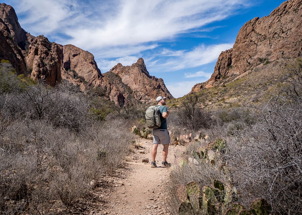
On the Window Trail, you’ll hike between two towering canyon walls to a “window” carved into the cliffside. This opening in the rock wall has been carved over millennia of water funneling through the canyon and down to the floor of the Chihuahuan Desert, hundreds of feet below. While the view of the Chisos Mountains through this opening is stunning at any time of the day, it’s particularly spectacular at sunset (just don’t forget your headlamp for your hike back to the trailhead!).
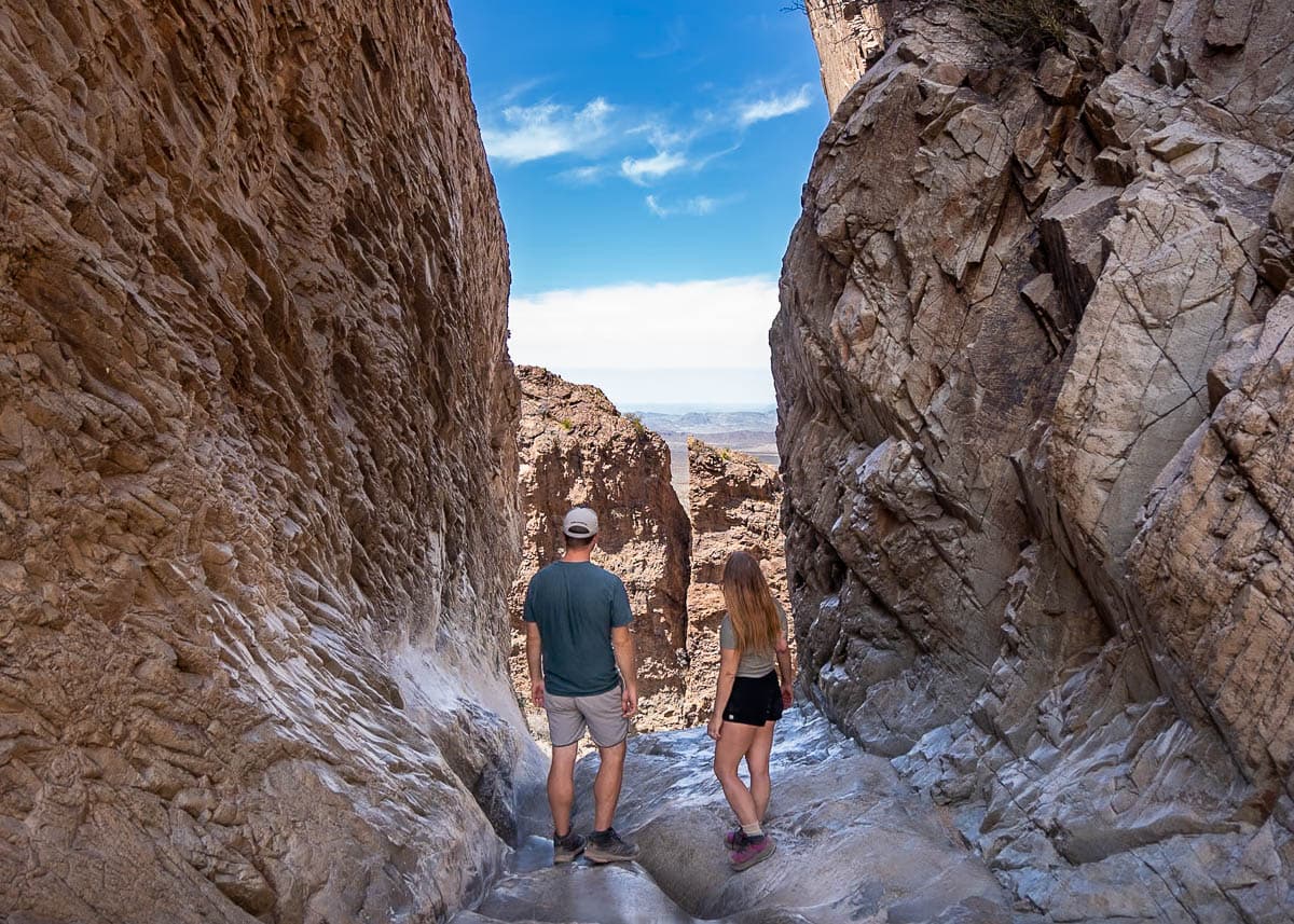
One important thing to note about the Window Trail is that you hike downhill to the endpoint and then uphill on your return trip. Given that hiking downhill is generally much easier than going uphill, it can be difficult to know whether the hike may be a bit too challenging for you—once you’re down at the bottom of the trail, you’ll have no other choice other than getting back up to the trailhead.
Thankfully, the elevation gain isn’t too steep, so most hikers in decent shape should be able to handle the hike just fine. However, be sure to keep an eye on the heat and bring plenty of water with you. My husband, Justin, and I are experienced hikers and, when we visited during an unseasonably hot day in March (over 95 degrees!), this hike absolutely kicked our booties!
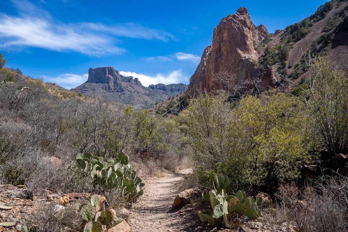
For a slightly less challenging option, park your vehicle and start your hike at the Window Campground. This cuts off the first 0.6 miles of the trail (one-way), including some of the steepest parts. Parking is incredibly limited at the campground, though, so be sure to get here early!
3. South Rim Trail
- Length: 12.7 miles
- Elevation gain: 2,421 feet
- Difficulty: Hard
- Trail map
If you’re up for a more challenging hike or even a backpacking trip, the South Rim Trail offers some of the most spectacular views of the Chisos Basin.
The South Rim Trail is a loop. If you hike it counter-clockwise, you’ll start along the Laguna Meadows Trail, which offers a gentler and longer incline to the ridgeline. On the other hand, you can hike it counter-clockwise, starting at the Pinnacles Trail, which is steeper and more challenging, but provides MUCH better views as you’re climbing.
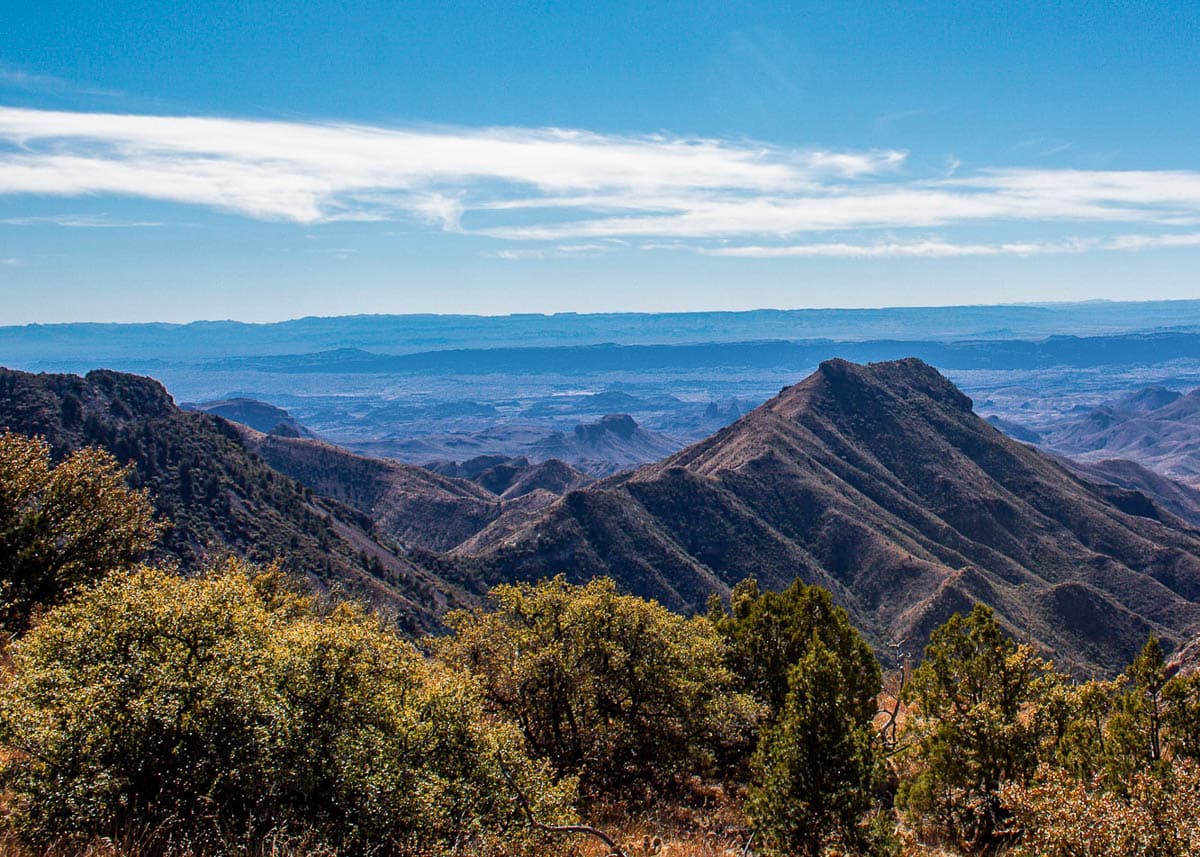
Justin and I hiked this trail counter-clockwise, given that it’s likely the “easier” option, but if you’re up for a real workout, I’d recommend the clockwise route.
For most of this hike, you’re hiking through a dense forest of juniper and oak trees. Eventually, you’ll pop out on a ridgeline, which offers breathtaking views of Chihuahuan Desert and basically the entire Chisos Mountain range (which, fun fact, is the only mountain range that’s entirely contained within a U.S. national park!).
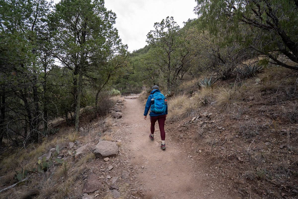
The South Rim trail is also a bit of a choose-your-own-adventure—there’re several optional add-ons that you can elect to do. For example, you can add on a detour to Emory Peak, which, after a challenging rock scramble, leads you to the highest point in the park (7,825 feet!) and some of the best views in all of Big Bend.
4. Balanced Rock Trail
- Length: 1.9 miles
- Elevation gain: 246 feet
- Difficulty: Moderate
- Trail map
The Balanced Rock Trail is not technically located in the Chisos Basin, but it is located relatively close by and would make an excellent addition if you’re already exploring the area.
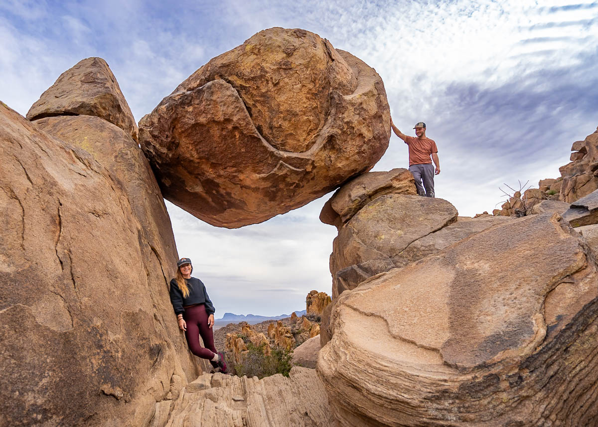
The six-mile road to the trailhead, Grapevine Spring Road, is pretty rough, especially in the last mile. If you have a high clearance vehicle, though, I promise all that careful driving will be worth it!
In fact, this gets my award for the most unique hike in Big Bend. Most of the trail is along a flat pathway that leads between two walls of enormous boulders and rugged rock spires. Pretty much all of the elevation gain is reserved for the last quarter of mile, where you have to do some light scrambling to reach the endpoint.
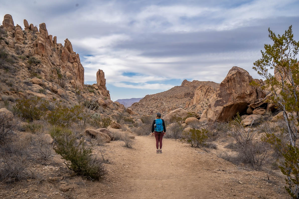
Here, you’ll find an enormous boulder balancing on two other rock formations and, through its “window”, a stunning viewpoint over rugged rock formations known as the Grapevine Hills. This viewpoint is always gorgeous, but is especially stunning at sunset. Just don’t forget your headlamp for the way back!
Things to do in Rio Grande Village
Rio Grande Village is home to some of the most unique things to do in Big Bend, including soaking in hot springs along the Rio Grande, exploring historic resorts, and even crossing over into Mexico!
5. Visiting Boquillas del Carmen
One of the quirkiest things to do in Big Bend is crossing over the border into the teeny town of Boquillas del Carmen, Mexico.
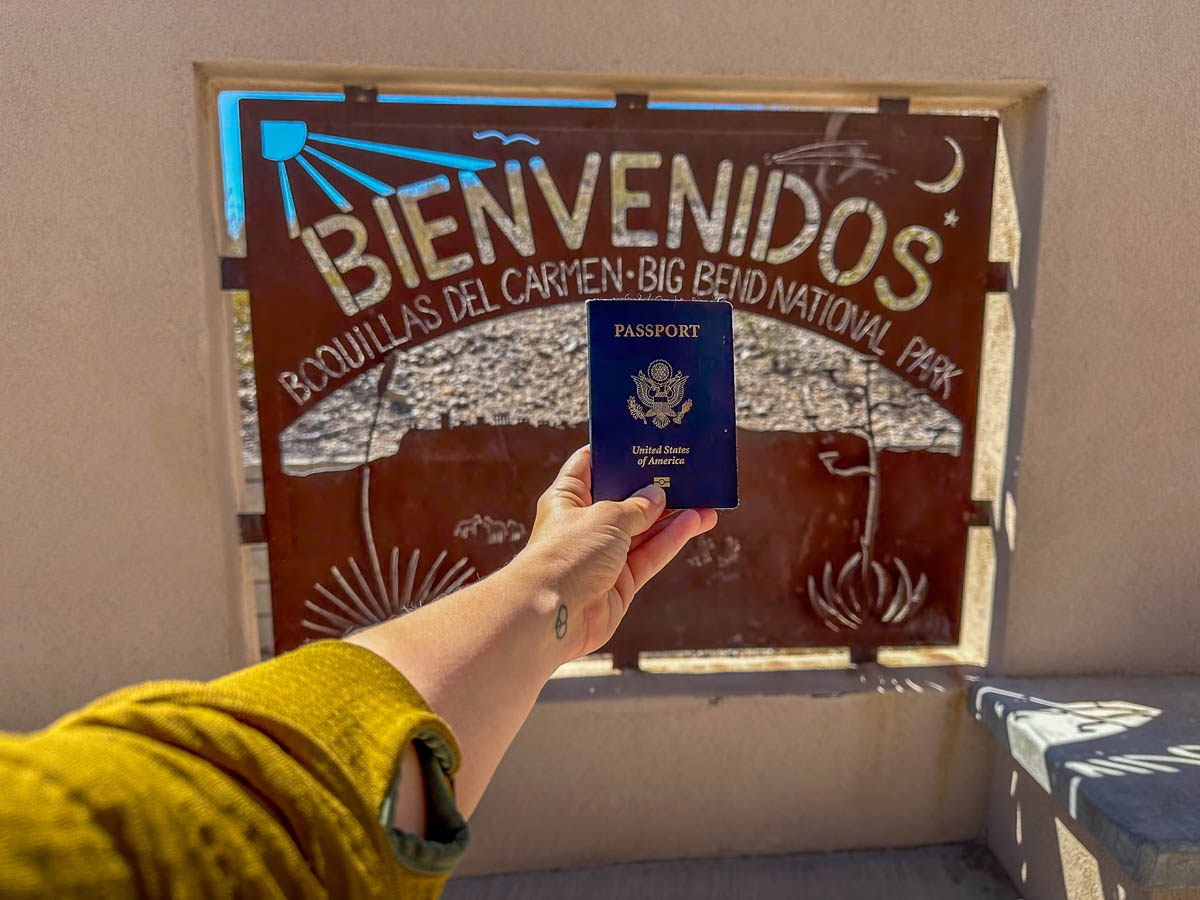
To access the town, you’ll need to go to the Boquillas Port of Entry, which has limited hours:
- From November 2 – April 28: Open Wednesdays through Sundays, 9:00 am – 4:00 pm
- From May 3 – November 1: Open Fridays through Mondays, 9:00 am – 4:00 pm
Given this is an international border crossing, like any other, you’ll need to have a valid passport or passport card to get to and from the United States.
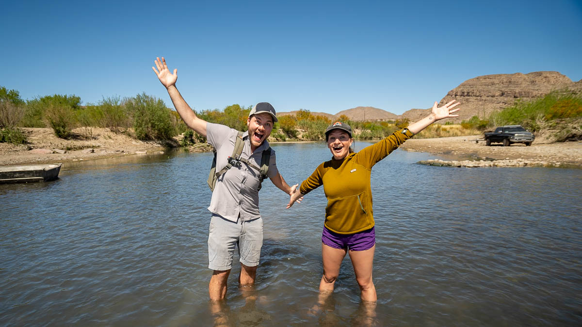
Once you’ve made it through the border crossing, you’ll need to either take a rowboat “ferry” or, if the water level is low enough, walk across the Rio Grande! When we visited Big Bend, the Rio Grande was quite low, so we just moseyed ourselves across—it’s not every day that you literally walk into another country!
From here, it’s a quick 15 minute walk into Boquillas’ downtown. Remember that the town is tiny, so there’s not a ton to do here—just two restaurants, a bar, and some shops and stalls where the locals peddle souvenirs. Still, who doesn’t love crossing an international border through a U.S. National Park to get some authentic tacos and guac?
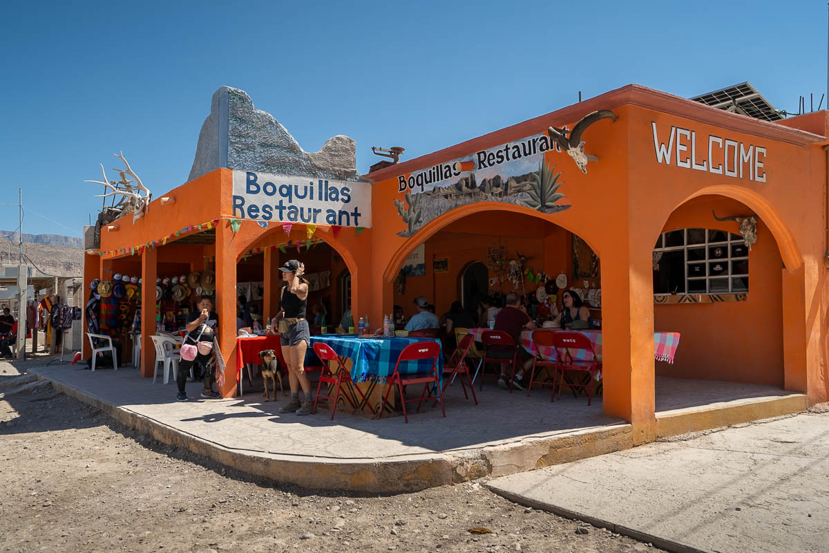
There’s a bit to know about getting to and exploring the town, but, luckily, we wrote an entire blog post with everything you need to know about visiting Boquillas del Carmen.
6. Big Bend Hot Springs
Another one of the most unique things to do in Big Bend is hike to its hot springs, tucked along the Rio Grande, in the foundation of an old historic bathhouse.
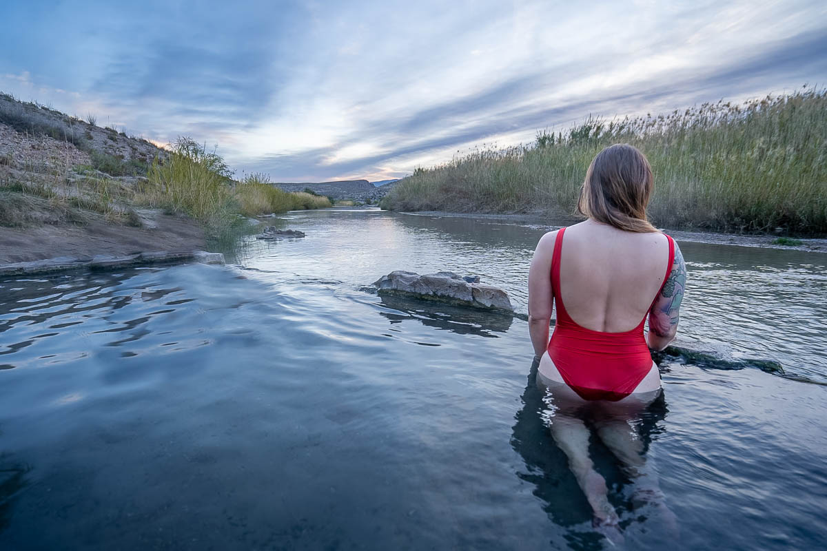
To reach Big Bend Hot Springs (also known as Boquillas or Langford Hot Springs), you’ll need to hike 0.3 miles from the trailhead along a mostly flat trailhead to the pools.
Along the way, you’ll pass what remains of the Langford Hot Springs Resort, the first attraction in the Big Bend area, dating back to the early 20th century, as well as petroglyphs and petroglyphs left behind by the Indigenous peoples of the area.
Definitely a lot of bang for your buck with such a short hike!
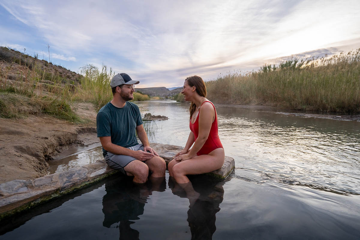
If you want to continue past the hot springs, the trail climbs gently up to a ridgeline, providing stunning views over the Rio Grande and the surrounding limestone cliffs. The path eventually loops back to the parking lot, adding 0.9 miles to your initial hike to the hot springs.
Tip: I’d recommend getting to the hot springs early, as they tend to get quite crowded and busy as the day wears on. Justin and I showed up before sunrise on a Wednesday and there were already three other groups of people that beat us into the springs!
Things to do in Santa Elena Canyon
7. Ross Maxwell Scenic Drive
If you’re looking for a lower impact activity on a particularly hot day (or you just don’t feel like hiking!), consider cruising along this 30-mile scenic route, which stretches from Panther Junction Road all the way to Santa Elena Canyon, passing some of Big Bend’s most jaw-dropping scenery along the way.
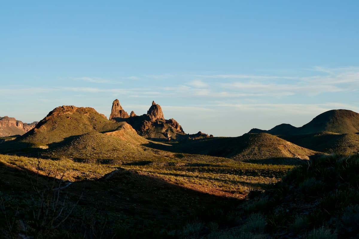
While you can certainly enjoy the landscape while in the air-conditioned comfort of your car, there’s also a ton of scenic overlooks, historic buildings, and hiking trails that you can explore on the route as well.
For example, there’s several historic buildings left behind by some of the first European homesteaders in the area, like the Sam Nail or Homer Wilson Ranch. Alternatively, you can stop at the aptly-named Mule Ear Viewpoint, which offers views of two uniquely shaped mountain peaks and serves as the trailhead for a 3.8 mile hiking trail to a small spring in the desert.
8. Santa Elena Canyon Trail
- Length: 1.6 miles
- Elevation gain: 219 feet
- Difficulty: Easy
- Trail map
Santa Elena Canyon is technically the end of the Ross Maxwell Scenic Drive, but it’s such a must-do, in my opinion, we’re including it on its own. It’s one of the prettiest hikes in Big Bend, plus, it’s short, easy, and offers some shade along the trail (which is hard to find in the park!).
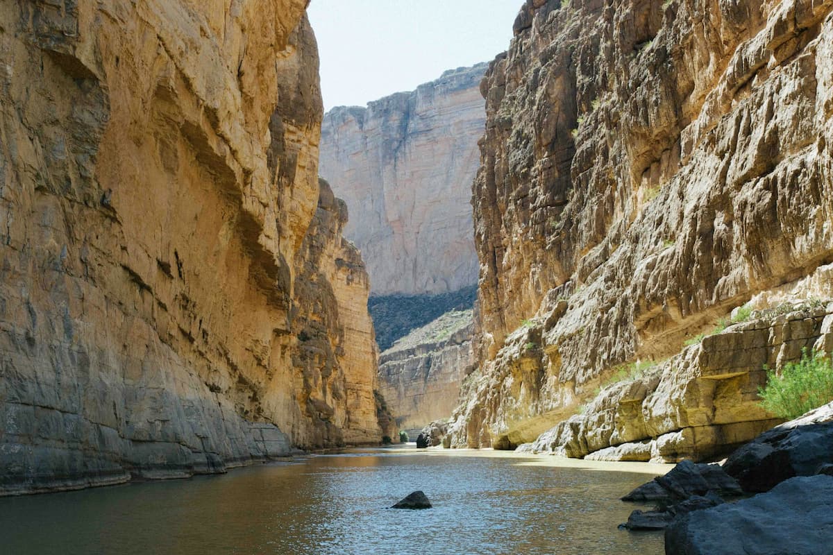
Most of the trail follows along the banks of the Rio Grande, with impressive 1,500 foot walls towering over you. The trail ends at the narrowest part of the seven-mile canyon, where the canyon walls meet the river.
Tip: Contrary to popular belief, Big Bend has a rainy season, from July through September, where this trail may be inaccessible, due to the rising river, or even dangerous, due to flash flooding. If it’s been raining recently or there’s some in the forecast, I’d suggest steering clear of the canyon.
9. Float down the Rio Grande
One of the most unique things to do in Big Bend National Park is paddle down the Rio Grande River. While there’s several places that you can put in around the park, our favorite is definitely right by the Santa Elena trailhead. It’s so cool getting to paddle right between the enormous limestone walls, towering above.
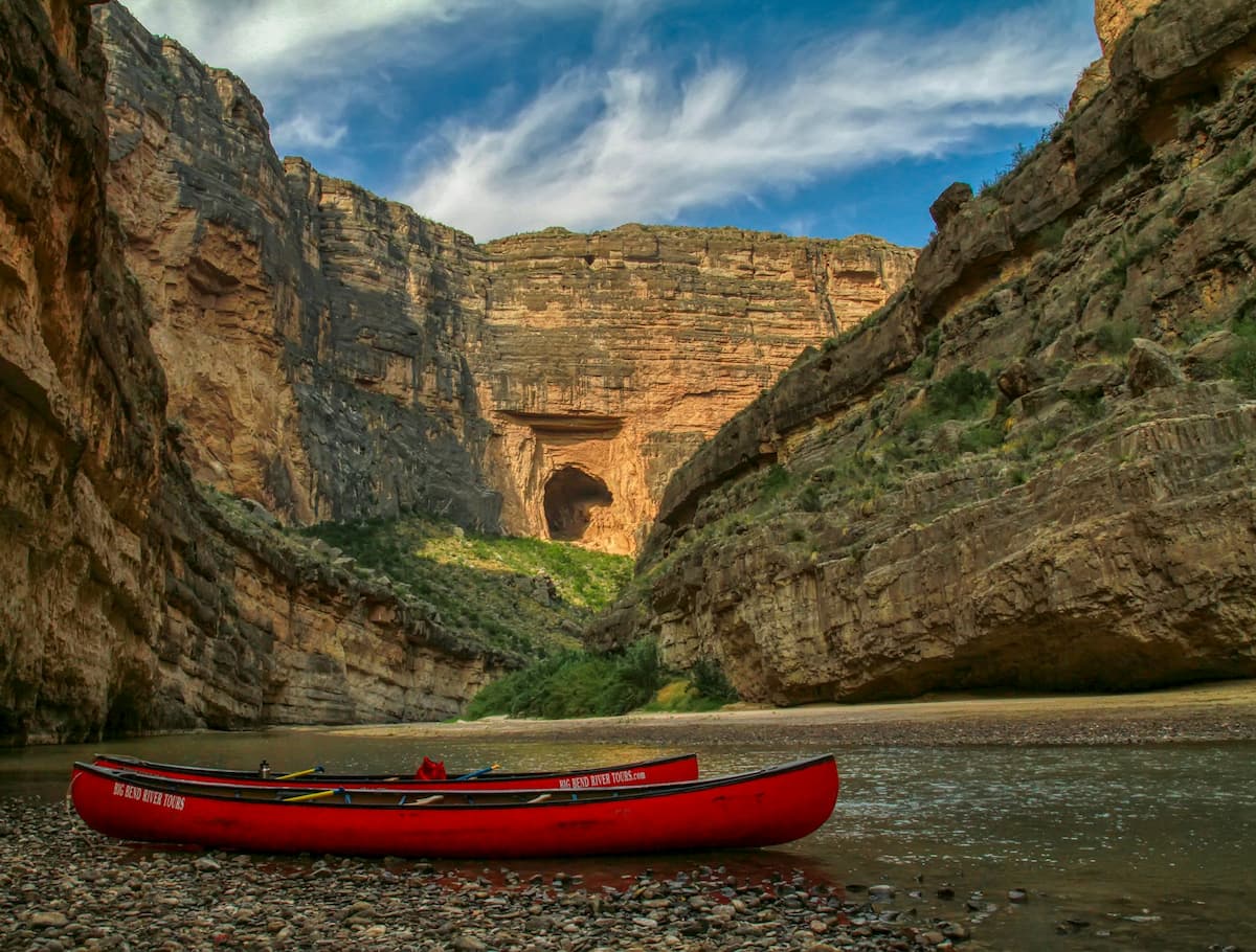
If you have your own kayak or canoe (Justin and I have had an inflatable Intex K2 Explorer for several years and love it!), I’d suggest paddling upstream for as long as you’d like through the canyon and then letting the current carry you back to your starting point.
If you don’t have your own paddle craft, not to worry! There’s several outfitters in the nearby town of Terlingua, where you can rent equipment or even book guided tours, like the Big Bend Boating and Hiking Company.
Other things to do in Big Bend National Park
10. Stargazing
Fun fact—Big Bend has less light pollution than ANY other national park in the Lower 48! So it’s unsurprising that the park has earned the title of an International Dark Sky Park and is considered to have some of the clearest skies for stargazing in the United States.
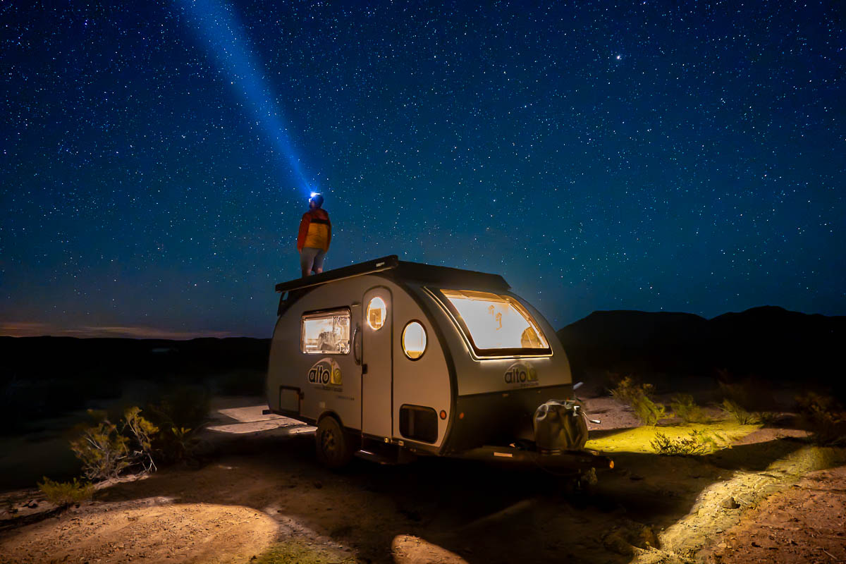
You can join ranger-guided programs, like star-parties and moonlit walks, in the park or simply take in the Milky Way and the thousands of other stars twinkling across the night sky on your own.
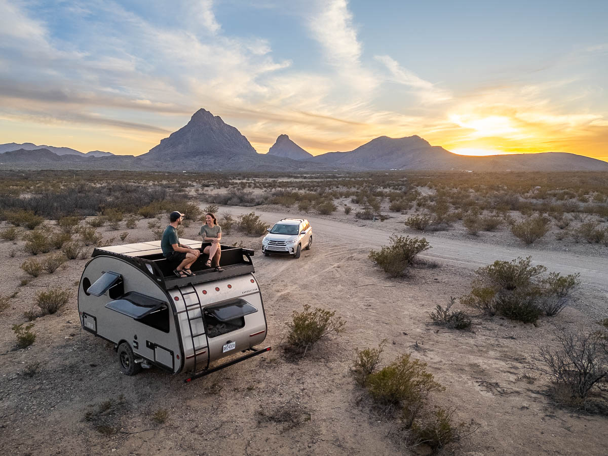
Justin and I live and travel full-time in our RV, so we’ve definitely seen our fair share of beautiful night skies—but I gotta say, the Milky Way over Big Bend may just take the cake!
11. Explore Terlingua
Okay, okay, so Terlingua is technically right outside of Big Bend National Park, but it’s absolutely worth exploring while you’re here.
Terlingua is largely known as an old mining ghost town from the 1880s. But the town is actually a lot more than just deserted mining structures—it’s home to over 150 residents, a few solid restaurants, and several quirky festivals, including two chili cook offs that attract over 10,000 chili lovers every year.
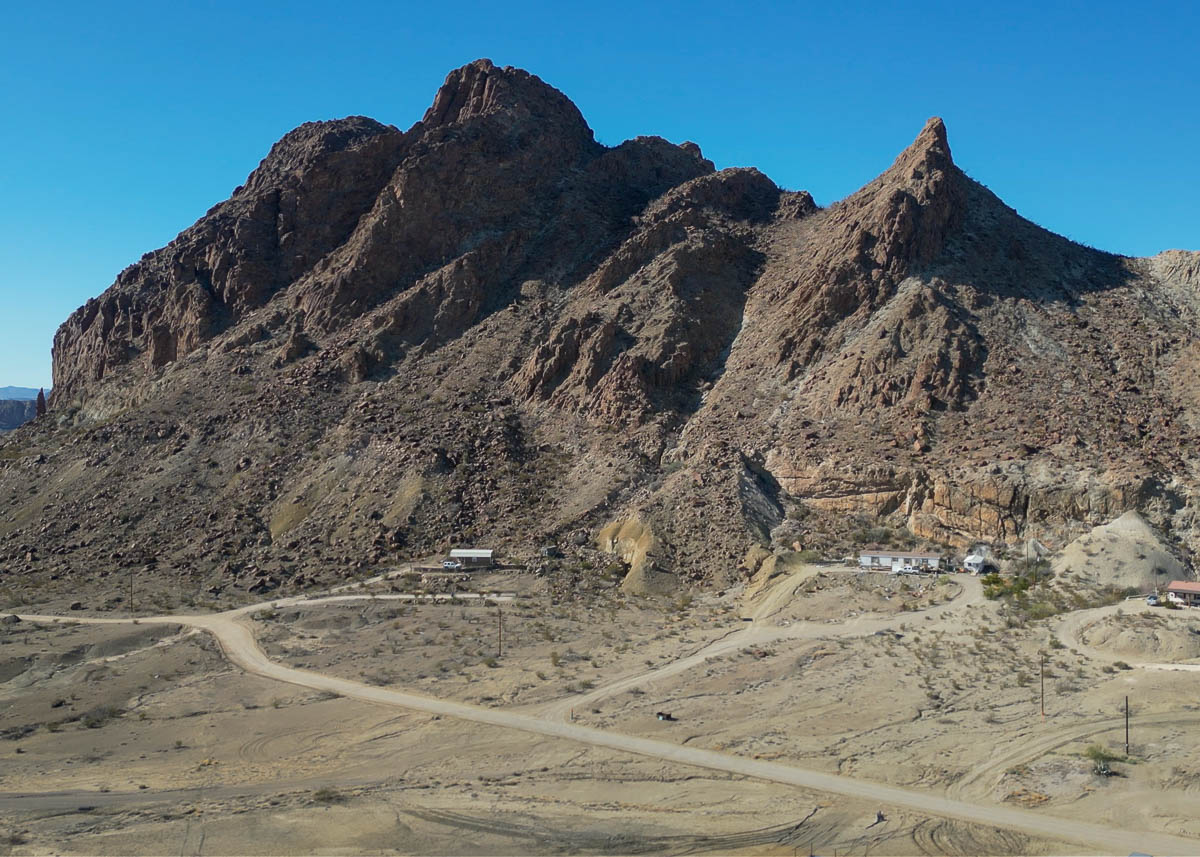
Our favorite stop here was the Starlight Theater Restaurant and Lounge, which, back in the 1930s, served as a theater for the miners.
Today, it serves up tasty food and drinks (don’t miss the prickly pear margarita), live music, and a friendly atmosphere. The Starlight also is home to Clay Henry, a taxidermied goat who was formerly the mayor of the nearby town of Lajitas, Texas and was famous for his love of beer (true story!).
Just be sure to get here as soon as it opens and be prepared to wait—when we visited, it was two and a half hours!
How long do you need in Big Bend?
If you’re not into super long hikes, you could hit most of Big Bend’s highlights in two days.
Otherwise, if you’re someone who wants to do ALL THE THINGS (hi, it’s me!), I’d suggest budgeting at least three days in the park, so you can spend one day exploring each of the sections.
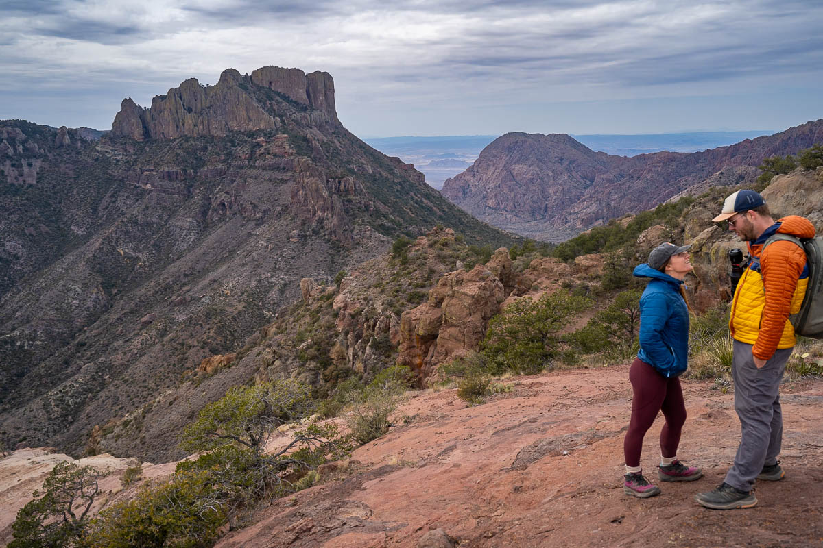
Justin and I spent a week in the Big Bend area and three days in the park itself and definitely didn’t come close to seeing everything!
When to Visit Big Bend National Park
The best time to visit Big Bend is from October through March, when the temperatures are more moderate and ideal for hiking. March can be especially beautiful, with blue bonnets and other desert wildflowers carpeting the park in vibrant springtime colors.
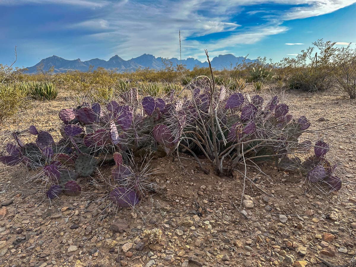
Outside of this timeframe, Big Bend can get dangerously hot (especially while hiking), frequently exceeding 100 degrees. Additionally, July through September is the rainy season, which can cause dangerous flash flooding in canyons and along the Rio Grande.
If you do visit during the summertime, be sure to check the weather forecast ahead of time, explore the park early in the day to avoid when it’s super hot, and bring along tons of water and electrolytes on your hikes!
Where to stay near Big Bend National Park
During your visit to Big Bend National Park, you can either camp within the park itself or stay in the nearby town of Terlingua.
Given how remote Big Bend is, there’s pretty limited accommodation options here. Accordingly, places often book up months in advance.
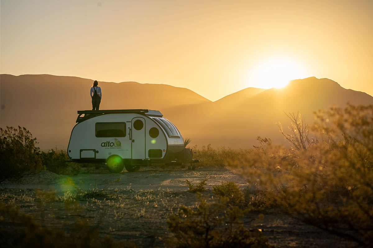
For example, Justin and I had planned on camping in our RV in the park. But when we went to make a reservation a few months in advance, we found that all of the campsites in the park were booked out for several MONTHS.
Accordingly, if you’re visiting during Big Bend’s busy season (from around October through March), I’d suggest booking where you’re staying as soon as you can, regardless of whether you’re camping or staying at a nearby accommodations!
Camping in Big Bend National Park
In the park, there are three campgrounds that are operated by the Park Service—Chisos Basin, Rio Grande Village, and Cottonwood, as well as one operated by a concessionaire, Rio Grande Village RV Park.
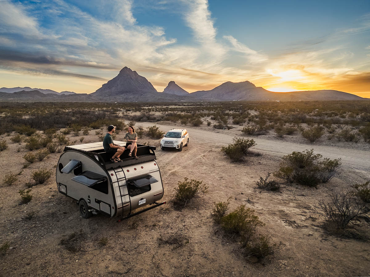
Additionally, there are 67 primitive “backcountry” roadside campsites, that are more akin to dispersed camping or boondocking. However, you are required to have a permit to stay at this sites, which are sold out basically every night of the year. You can snag a permit for the 20 most popular sites in the park 6 months in advance here.
Staying in Terlingua
Terlingua has a variety of accommodations to choose from, although most of them are on the more glamping side of of the spectrum (think tiny homes, vintage RVs, and yurts).
Consider staying at:
- Chisos Mountain Lodge: This is actually the only accommodation in the national park. It’s a bit on the pricey side (usually, well over $200 a night!), but you’re paying for the location. The rooms are dated and on the rustic side, but, on the bright side, you’re literally steps from some of the best hikes in Big Bend National Park!
- Stardust Cabins: We stopped at these luxurious A-frame cabins during our stay here and they looked SO nice. They come with a fully equipped kitchen, wrap-around deck with an outdoor fire pit, and a walk-in shower. Plus, they’re literally a five minute drive from the park entrance.
- Camp Elena: This is probably the fanciest “tent” you’l ever stay in, with private bathrooms (complete with plush bathrobes and hair dryers), kitchen with an oven and stove, and an outdoor fireplace to enjoy Big Bend’s stunning stargazing.
Tips for visiting Big Bend National Park
Watch out for wildlife
While many people think of Big Bend as being devoid of life, it’s actually home to tons of different creatures—in fact, over 400 species live here.
There’s a few of these creatures that you have to watch out for—namely, mountain lions, black bears, and snakes.
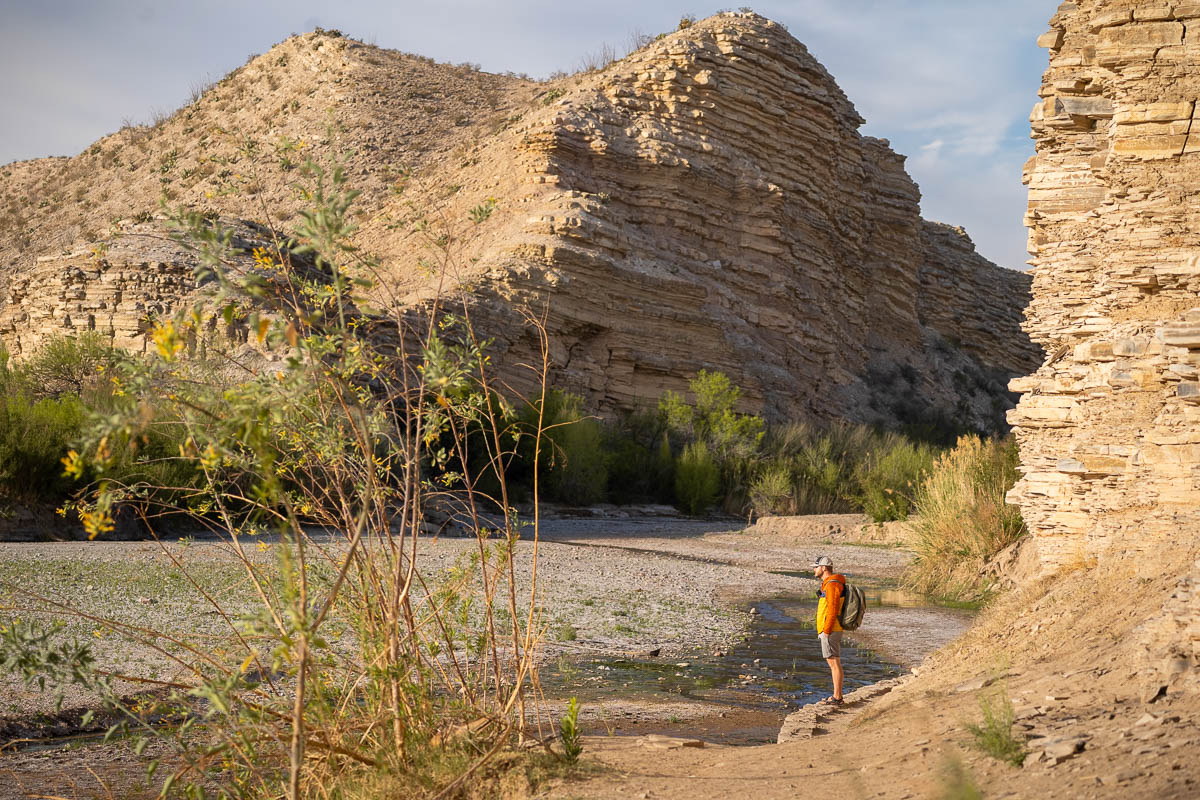
Since Big Bend’s opening in 1944, there’s been very limited instances of these creatures harming humans (from what I can glean from the Internet, there’s been eight mountain lion attacks, four snake bites, and no bear attacks). Still, I’d recommend making sure to stay focused on the trail, keep any children close to you, and stay alert to your surroundings.
Wear sunscreen and bring lots of water
Did I mention that Big Bend can be quite hot?
There’s limited shade along most of the trails in the park, so be sure to bring plenty of sun protection, like sunscreen, a hat, and sunglasses.
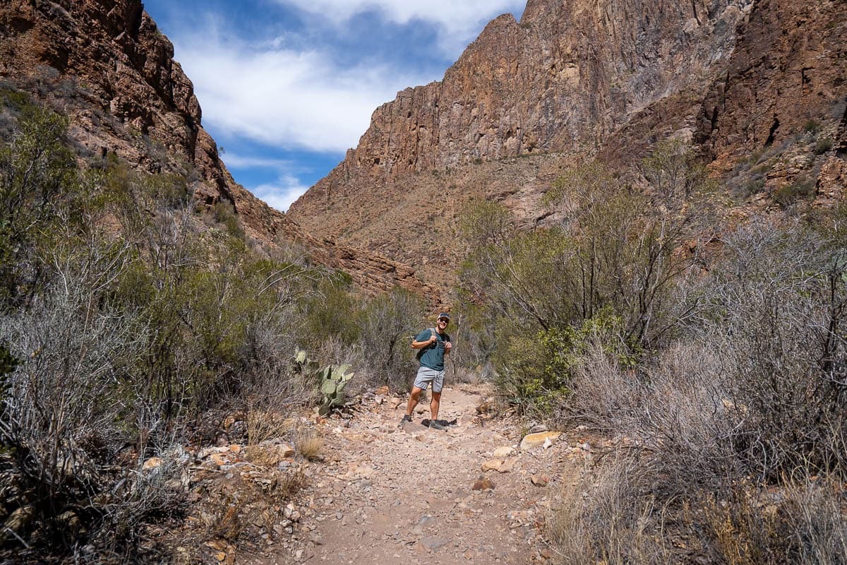
Additionally, dehydration is actually WAY more common and dangerous than any theoretical animal encounters in Big Bend. The National Park Service recommends bringing at least a gallon of water per person per day in the warmer months.
There’s limited cell service in the park
Most of the park gets absolutely no cell service, so be sure to download offline maps on Google Maps and the maps for any trails you want to do on AllTrails before heading into the park.
There you have- all the best things to do in Big Bend National Park! Do you have any questions about visiting this magical place? Let us know in the comments below!

