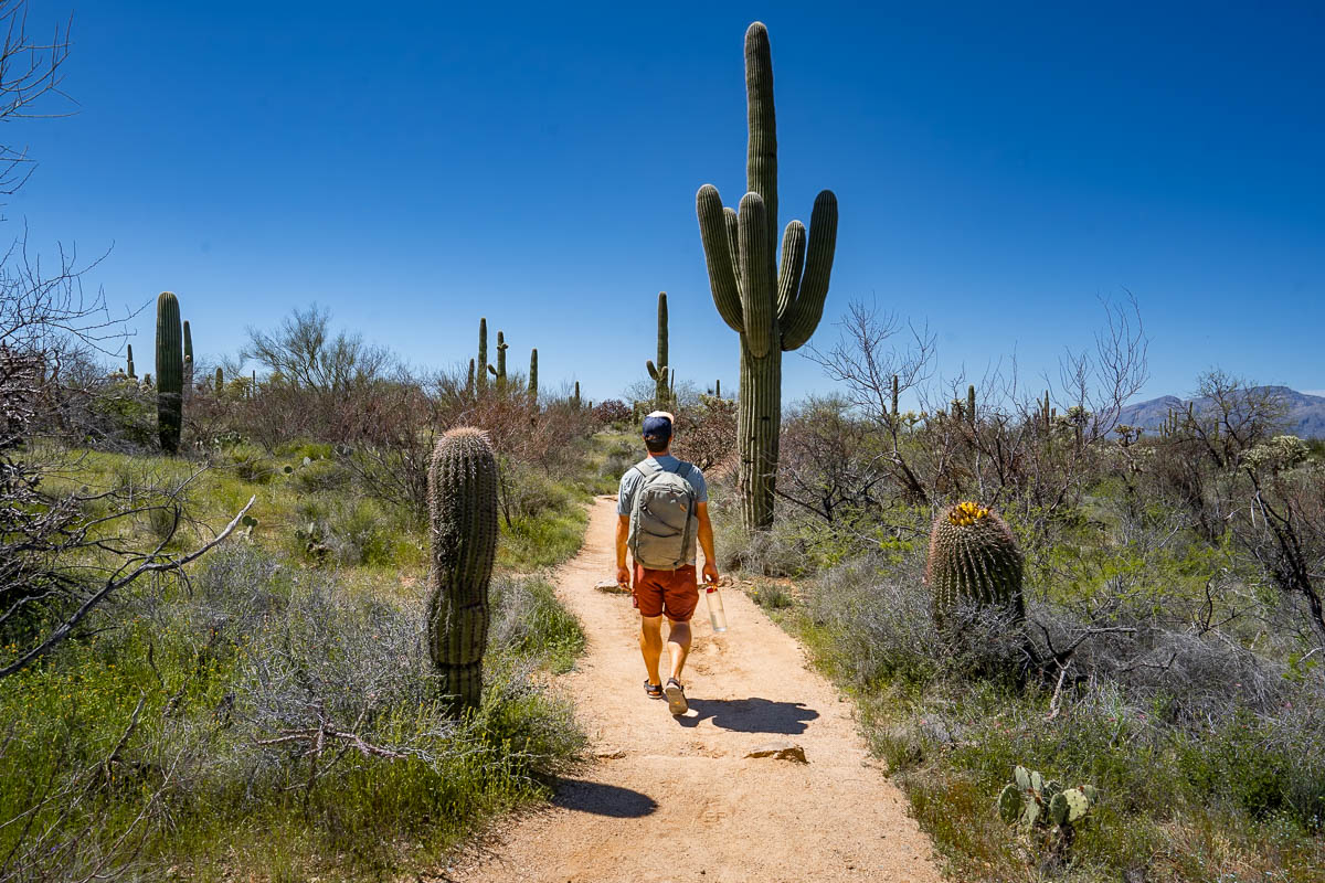
Saguaro may not be as famous as some of the other U.S. National Parks in the Southwest (I’m looking at you, Grand Canyon!), but is definitely a hidden gem in its own right—for example, it’s actually home to the largest species of cactus in the entire country! Better yet, there’s plenty of hikes—suitable for all levels of hikers—that can help you get out and take in its spectacular desert scenery. So If you want to explore this incredible place for yourself, here’s 7 of the best hikes in Saguaro National Park.
This post may contain affiliate links. If you make a purchase through them, we may receive a small commission, for which we are extremely grateful, at no extra cost to you.
How to Get to Saguaro National Park
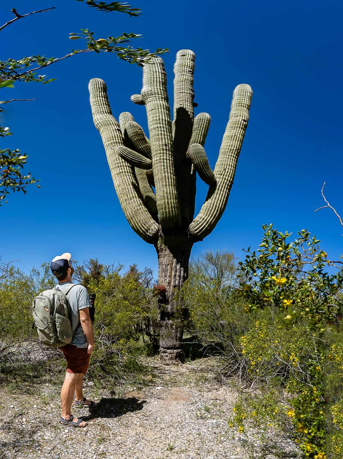
This national park is a very special place—it protects MILLIONS of saguaro cactuses, which can grow up to a whopping 78 feet tall!
Beyond its massive cactuses, though, Saguaro is also unique in that it’s actually located smack dab in Tucson, the second largest city in Arizona.
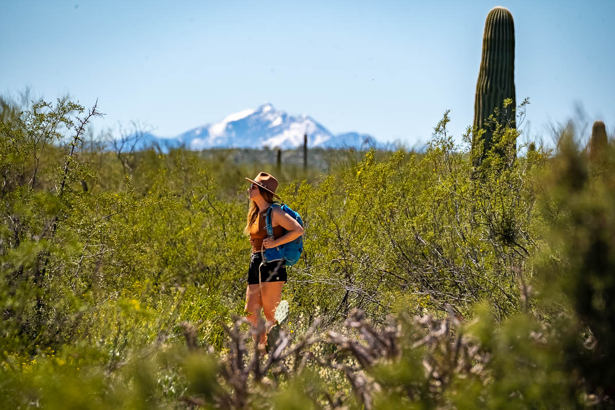
Accordingly, unlike a lot of the more remote national parks, you can simply fly into Tucson International Airport, pick up a rental car, and make the half hour drive to Saguaro.
Unfortunately, there’s not an easy way to use public transit to get to the park. However, rideshare options, like Uber or Lyft, are a good alternative if you’re not keen on renting a car.
Another unique thing about Saguaro? It’s actually located in two geographically distinct areas, which are separated by about 30 miles of downtown Tucson. On the west side of the city, you’ll find the Tucson Mountain District (commonly referred to as Saguaro West), while to the east, there’s the Rincon Mountain District (commonly referred to as Saguaro East).
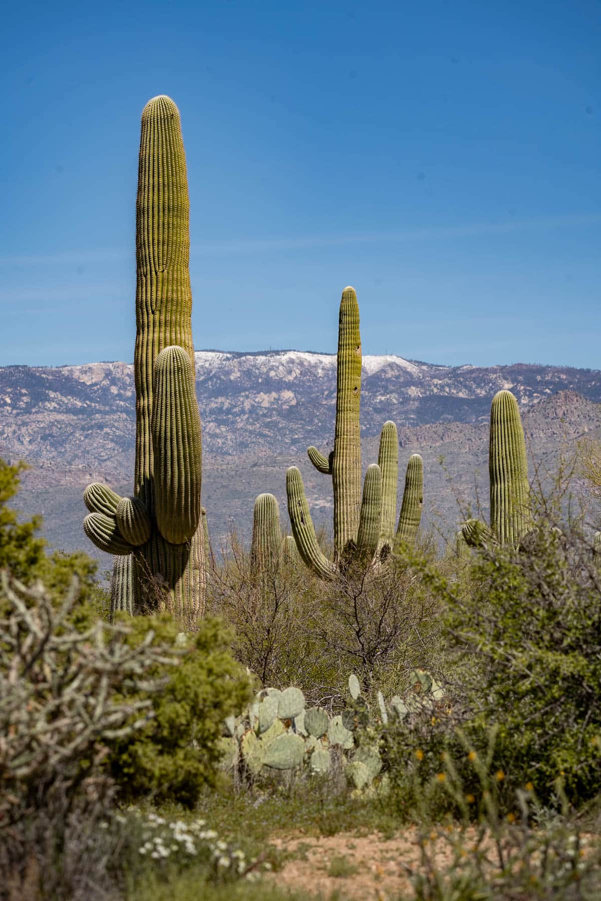
Accordingly, I’m going to break down the best hikes in Saguaro National Park, based on whether they’re located on its east or west side.
Best Hikes in Saguaro National Park West
1. Cactus Garden Trail
- Length: 0.2 miles
- Elevation gain: 9 feet
- Difficulty: Easy
- Trail map
The Cactus Garden Trail is located right outside of the Red Hills Visitor Center, the better and bigger of the two found in the park. My husband, Justin, and I really enjoyed learning more about the Sonoran Desert and its unique flora and fauna here—be sure not to miss the short film!
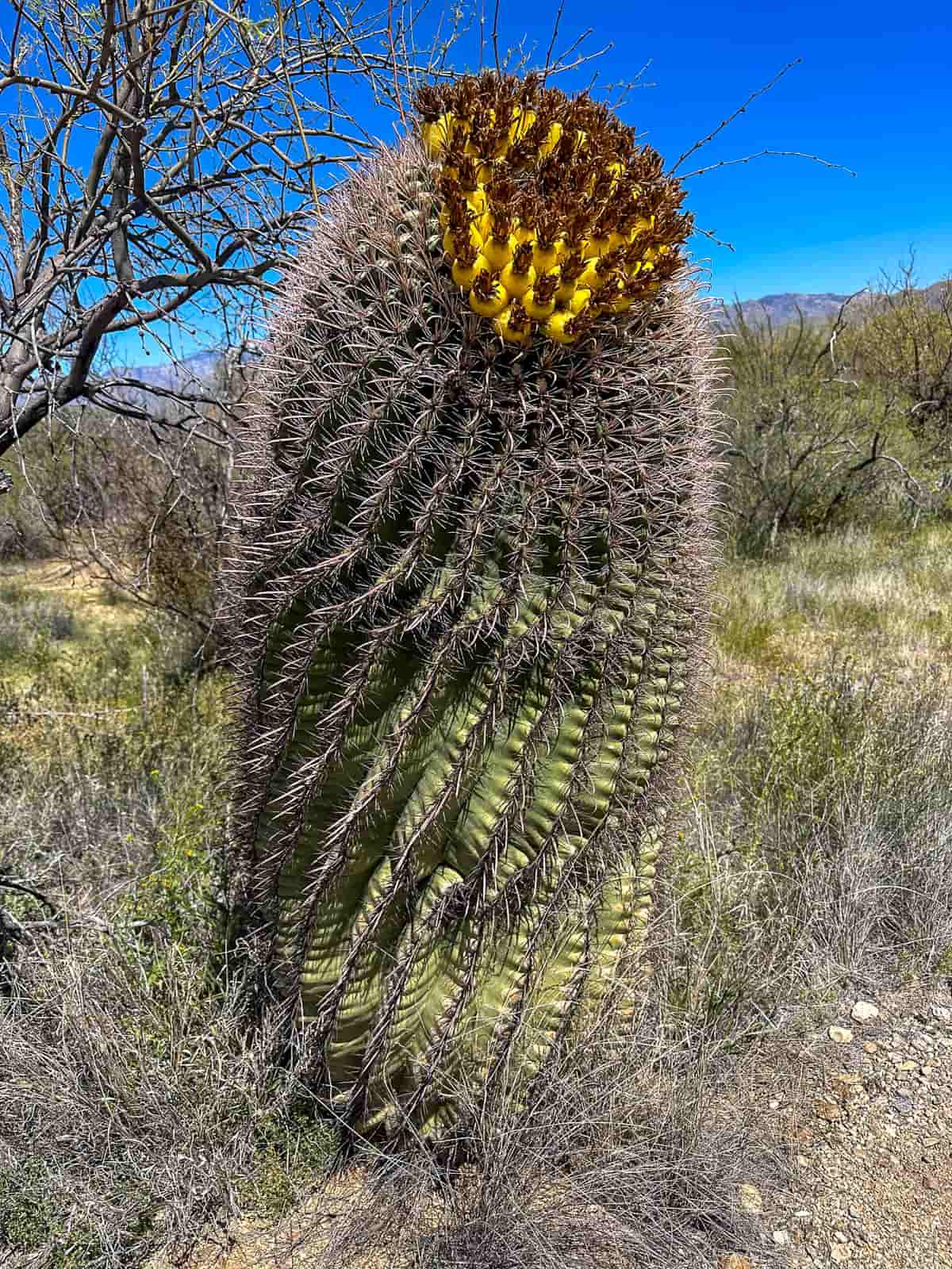
To be honest, calling this a “trail” is definitely generous—it’s a short stroll, on a paved sidewalk, through a meticulously maintained cactus garden. Still, there’s tons of incredible examples of the different species of cacti and other desert plants that you can find throughout the park, plus lots of educational signage. Accordingly, it’s a great introduction to Saguaro and can help you identify some of the beautiful plant life you’ll encounter along some of the park’s more challenging trails.
2. Desert Discovery Nature Trail
- Length: 0.4 miles
- Elevation gain: 16 feet
- Difficulty: Easy
- Trail map
This is another short and easy trail along a paved walkway, which loops through plenty of humongous saguaros and cholla cactuses.
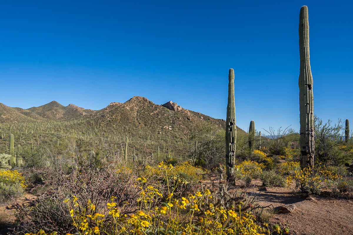
To be honest, I wouldn’t say that the landscape or flora here are showstoppers, especially compared to some of the other nearby trails. However, there is some great educational signage for you to learn more about the unique plant life and ecosystem in the park.
3. Valley View Overlook Trail
- Length: 0.8 miles
- Elevation gain: 52 feet
- Difficulty: Easy
- Trail map
Out of all of the hikes on the west side of Saguaro, the Valley View Overlook is my favorite, leading you gently uphill, through a forest of saguaros, to an overlook of the valley below. From here, you’ll have an expansive vantage point over a hill, which is littered with countless saguaros and, beyond, the Tucson Mountains.
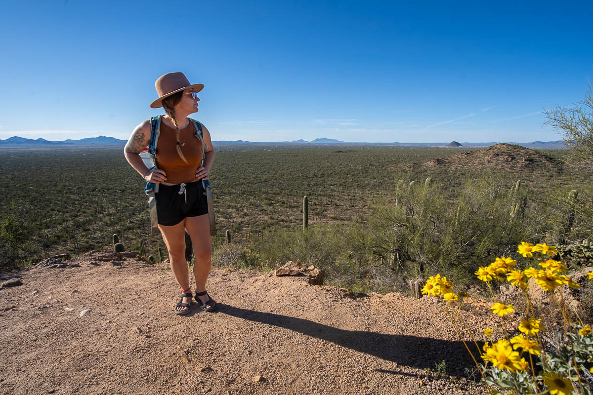
Although you have to make a gradual climb uphill along the trail, it’s still definitely on the easier side. Accordingly, it’s a great bang-for-your-buck trail, given the spectacular views you’re rewarded with at the end.
If you REALLY want a great payoff, come around sunset—the views to the west are absolutely stellar!
4, Signal Hill Trail
- Length: 0.3 miles
- Elevation gain: 36 feet
- Difficulty: Easy
- Trail map
One of my favorite parts about exploring the Southwest is learning more about the history and culture of its Indigenous people. And the Signal Hill Trail is a great place to do just that.
This trail climbs up a small hill to an overlook of several rocks with over 200(!!!) ancient petroglyphs on them, left behind by the Hohokam people between 550 to 1550 years ago. There’s also some great interpretive signs along the trail, so that you can learn a bit more about the Hohokam, the petroglyphs themselves, and the surrounding ecosystem.
Best Hikes in Saguaro National Park East
5. Mica View Loop
- Length: 3.8 miles
- Elevation gain: 124 feet
- Difficulty: Easy
- Trail map
Out of all of the hikes in Saguaro National Park, this is my absolute favorite. The trail is surrounded by thousands of enormous saguaros and different varieties of prickly pears, cholla cactuses, and other succulents, all against the backdrop of the towering Tucson Mountains.
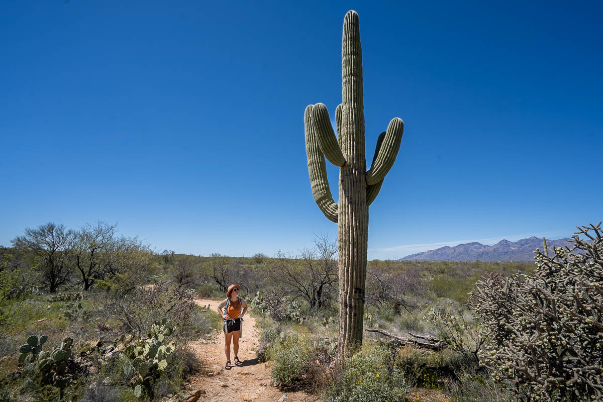
This loop trail actually connects a handful of shorter pathways, so I’d suggest following along with GPS using the map on AllTrails so you don’t get lost. There’s several trails in the area, so it’s super easy to accidentally turn down the wrong pathway—we actually used the map on AllTrails and still managed to wander pretty far down the wrong trail!
6. Freeman Homestead Trail
This hike is named after the ruins of one of the oldest homesteads in the area, which is found along the trail. However, the only part of the homestead that remains is its cornerstones, so I think most hikers will find the surrounding flora and fauna more interesting than the ruins themselves.
Out of all of the trails that Justin and I hiked in Saguaro, we saw the most wildlife by far along this trail, including lizards, woodpeckers, and even two Great Horned owls.
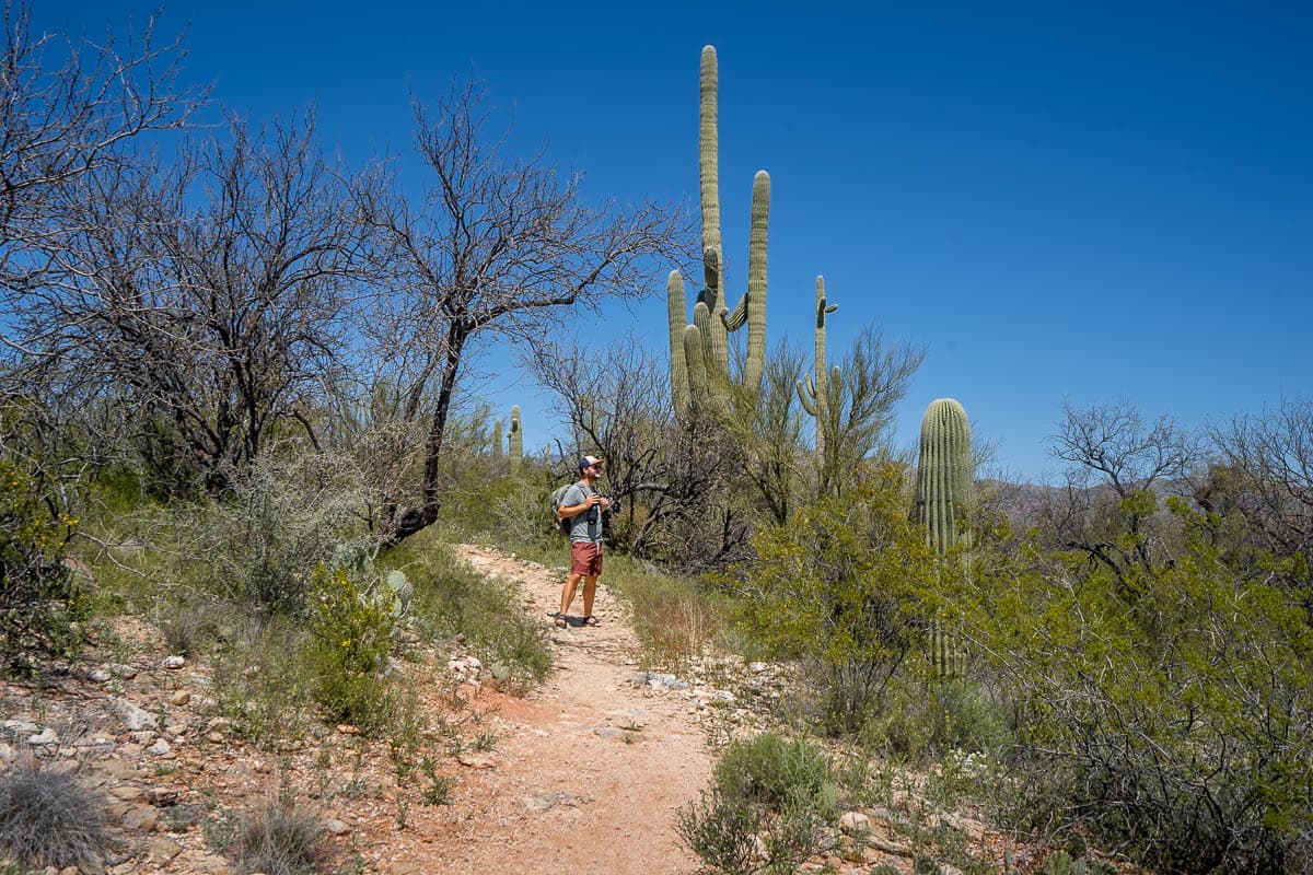
The only thing to be wary of on this hike is that it has one of my least favorite features—you hike downhill during the first half and uphill on the second half. This makes the path seem deceptively easy at first—and makes it impossible for you to turn around if the elevation gain proves to be too difficult for you.
Thankfully, the uphill climb is pretty minimal, at only 101 feet, but if you have mobility issues, you might want to skip this one to be on the safe side.
7. Bridal Wreath Falls Trail
- Length: 5.9 miles
- Elevation gain: 1,076 feet
- Difficulty: Moderate
- Trail map
If you’re looking for a more challenging hike in Saguaro National Park, this is going to be your best bet, given it offers the longest pathway and the most significant incline in the park. Nevertheless, it’s definitely doable for most hikers in decent shape.
Bridal Wreath Falls takes you to one of the most unique features in the park. Yup, you guessed it—a waterfall!
The waterfall is actually dry most of the year (like when we visited in March), but if you happen to visit after a period of significant rainfall, you may get lucky enough to see its cascade falling over the rocky cliffside.
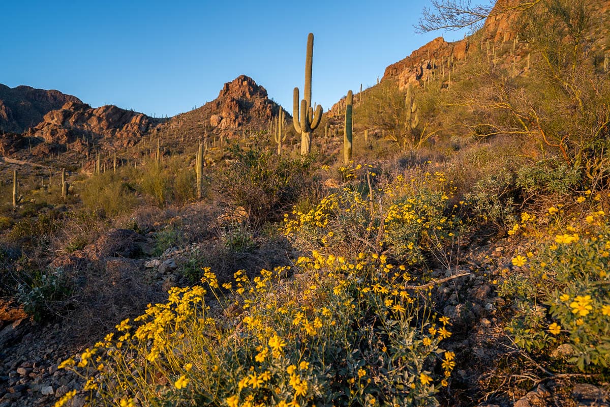
Even if you’re not lucky enough to catch the waterfall in action, this is still an awesome trail. Given the elevation you’ll gain along the way, you’ll get expansive views of most of Saguaro National Park East, its beautiful desert flora, and the surrounding mountains.
Just be sure to bring LOTS of water—between the trail’s length and elevation gain and Tucson’s famed heat, you’re going to need it!
When to visit Saguaro National Park
The best time to visit Saguaro National Park is from November through March, when the temperatures are pleasantly warm and the skies clear and sunny.
We visited in March and I’d HIGHLY recommend it—there was beautiful desert wildflowers in bloom and the weather was absolutely perfect for hiking.
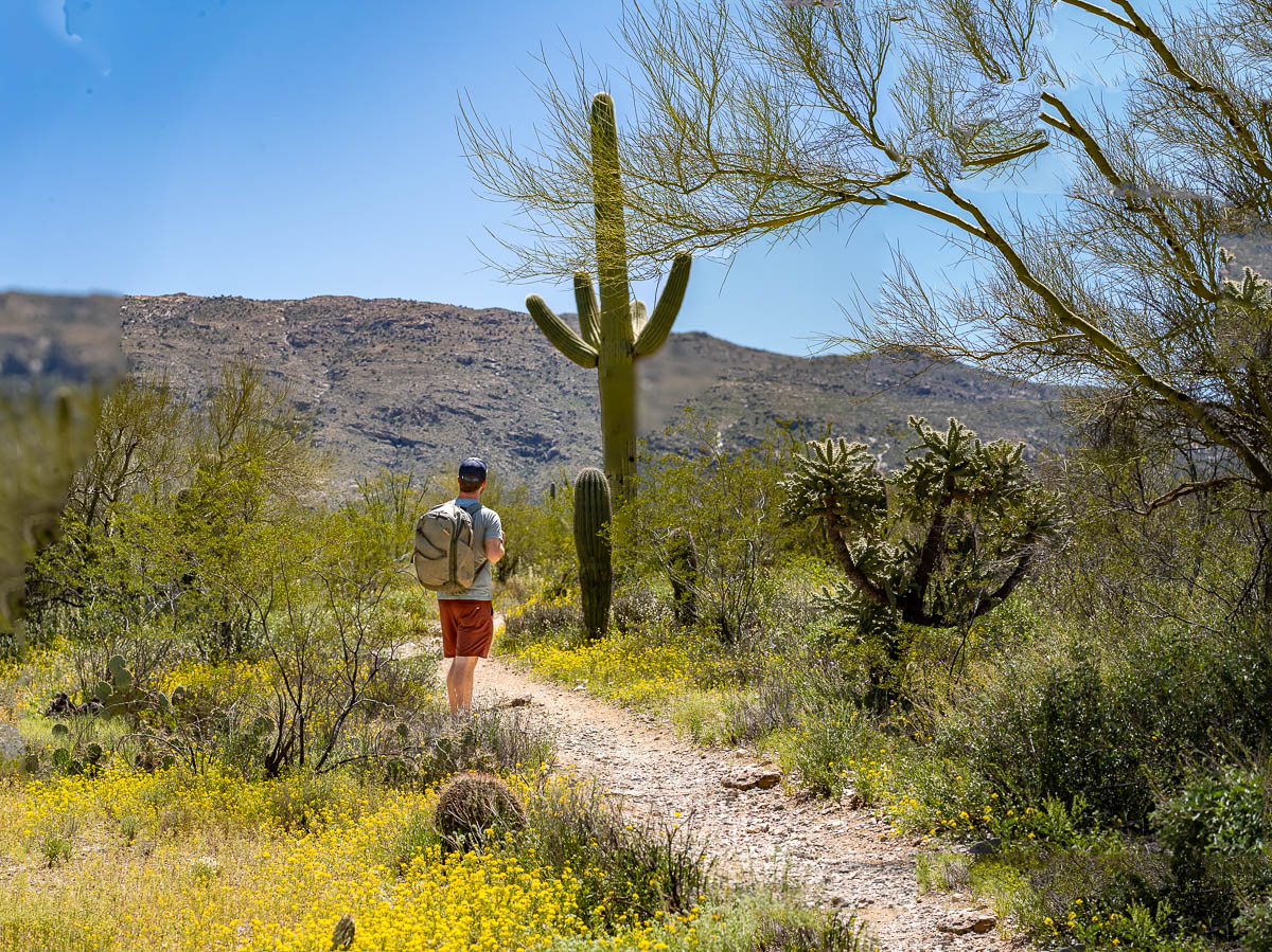
Outside of these months, Tucson can be incredibly hot, with temperatures soaring well above 100 degrees, especially in June, July, and August.
If you visit during this time period, be sure to bring along plenty of sun protection, including sunscreen, a hat, and sunglasses, as well as PLENTY of water. There’s limited shade or places to get water in the park outside of the Visitor Centers so it would be easy to get dangerously dehydrated!
Where to stay near Saguaro National Park
Unlike most national parks, there aren’t any lodges or established campgrounds inside of Saguaro. But, given you’re literally right in the city of Tucson, you have plenty of options to choose from!
Here are some of our favorite places to stay near Saguaro:
- Hotel Mccoy Tucson: This quirky little hotel has lots to love, including complimentary local beer and breakfast, an outdoor pool, and funkily decorated rooms.
- Hacienda Del Sol Guest Ranch Resort: This options somehow manages to feel like a rustic Southwest getaway with an upscale resort, with a heated outdoor swimming pool and hot tub, an impressive breakfast spread, and an excellent location, right at the foothills of the Tucson Mountains.
- Arizona Inn: This sprawling property has everything you need, including three onsite restaurants, an outdoor heated pool, and cool perks, like free bike rentals and lawn games. If you’re an architecture nerd like me, you’ll also love the southwestern design of the 1930s building, which is actually designated on the National Register of Historic Places!
If you’re more of the camping type, there’s actually 100,000 acres of the Saguaro Wilderness Area that you’re allowed to backcountry camp in, withe a permit. Alternatively, if you’re an RVer like us, some of our favorite dispersed campsites are right outside of Tucson, like the Pump Station Road Dispersed Camping.

There you have it—the best hikes in Saguaro National Park. Do you have any questions about visiting this unique place? Let us know in the comments below!

