
The Cocora Valley and its famed wax palms are one of the most popular places in Colombia—it is, after all, one of the best places to see the tallest palm trees in the world! The Cocora Valley has a number of hikes, including Cerro Morrogacho, a challenging trail that heads through a lush cloud forest to the highest mountain summit in the area. If you want to hike this unique trail for yourself, here’s everything you need to know about the Cerro Morrogacho hike.

This post may contain affiliate links. If you make a purchase through them, we may receive a small commission, for which we are extremely grateful, at no extra cost to you.
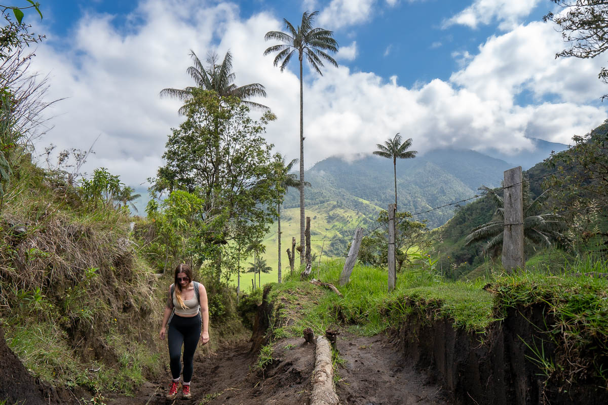
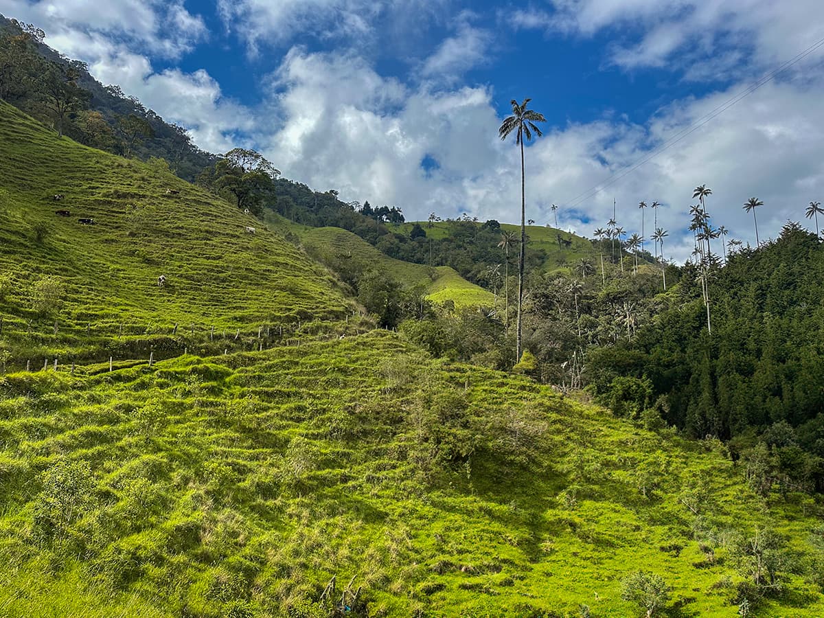
Cerro Morrogacho winds through the Cocora Valley, which is quite a unique place. The Valley has absolutely stunning landscapes, including impossibly green pastures, low-hanging clouds, and wax palms.
These endangered trees not only look cool—with skinny towering trunks with enormous Seussian floofs at the top—but can also grow up to 200 feet tall, making them the tallest palm tree in the world and one of the tallest species of trees, in general! They’re also only found a few places on the planet—namely, Colombia and northern Peru—and the Cocora Valley the best place to walk amongst them.
About the Cerro Morrogacho hike
- Length: 7.5 miles (12 km)
- Elevation gain: 4,114 feet (1,254 meters)
- Difficulty: Challenging. Like, really challenging. Not only is the trail incredibly steep in certain sections, but it also ascends to almost 11,400 feet above sea level in the Andes Mountains, making your body work that much harder to get enough oxygen. I would not recommend this trail for beginner hikers.
- Trail map
- Cost: COP 20,000 (cash only!)
How to get to the Cerro Morrogacho hike
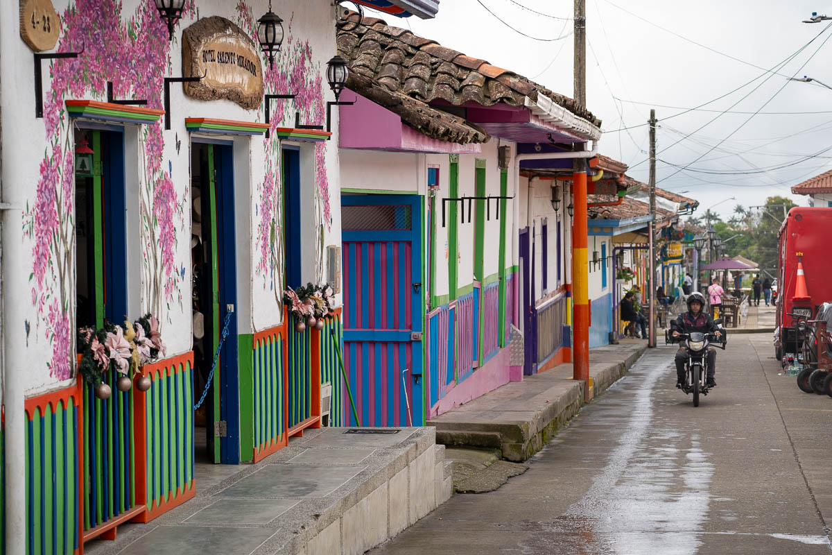
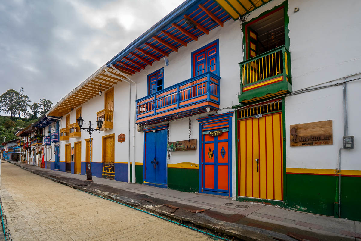
The Cerro Morrogacho hike is located in the Cocora Valley, near the adorable town of Salento in Colombia’s Coffee Triangle.
There’s a ton of incredible things to do in Salento, from exploring the Cocora Valley and playing the traditional Colombian game of tejo to visiting the many coffee farms in the area and enjoying the town itself. Accordingly, we’d highly recommend including Salento and the Cocora Valley on your Colombia itinerary!
How to get to Salento
Salento is one of the most popular destinations in Colombia, so, luckily, it’s quite easy to get there!
Getting to Salento by bus
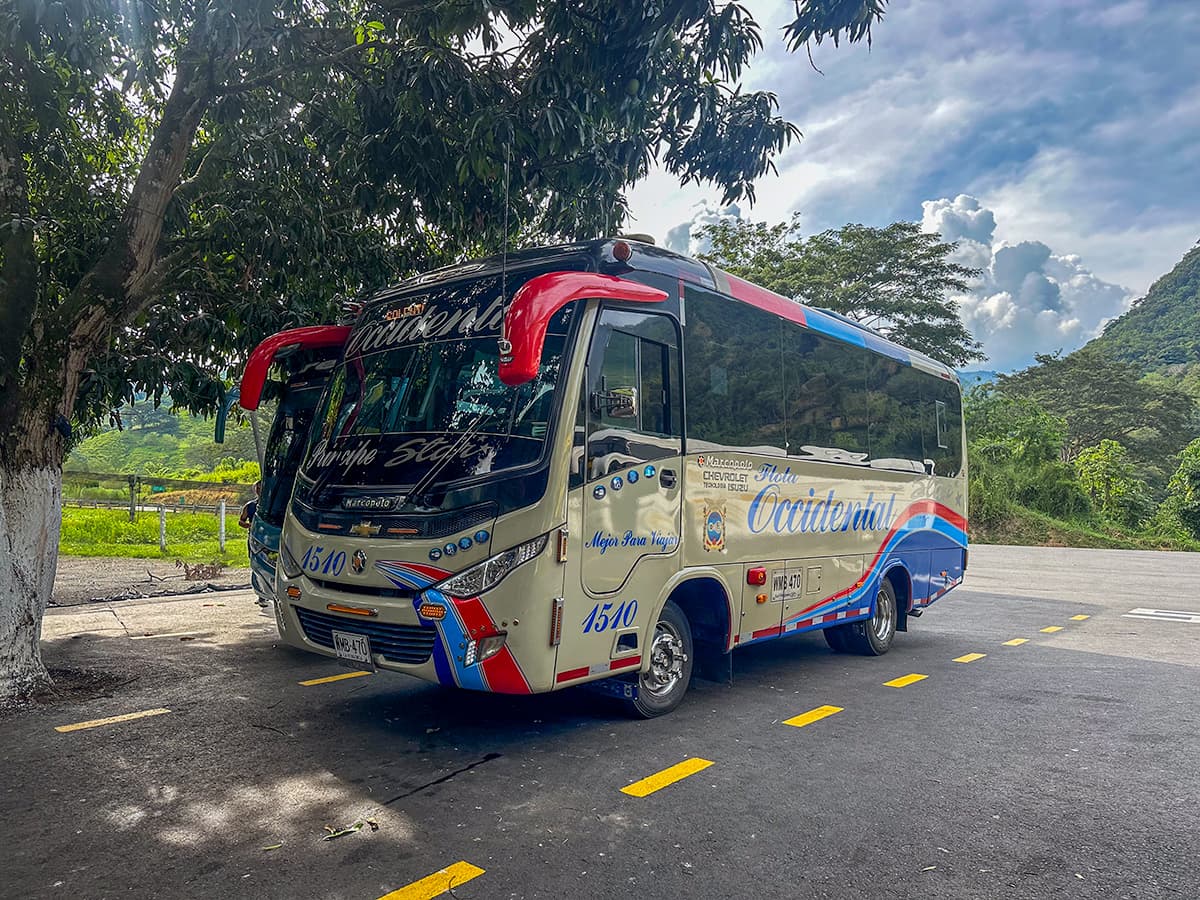
If you’re coming from one of the other cities in Central Colombia, like Medellin, Bogota, or Cali, it’s super easy and affordable to get to Salento by bus. In fact, one of my husband, Justin’s and my favorite things about Colombia is how painless (and cheap) it was to zip around the country by bus.
Here’s some options for you to consider:
Salento is tucked high up in the Andes Mountains, so, regardless of which city you’re coming from, your route will be on the longer side (i.e., 4 hours from Cali and 7 hours from Bogota and Medellin) and along narrow windy roads.
This is exactly how Justin and I got to Salento—by taking a bus from Medellin. We had heard from other travelers that this particular bus ride was quite nauseating, with lots of twists and turns, but it was actually totally fine from our experience (and Justin is quite sensitive to motion sickness). If you’re particularly sensitive to motion sickness, though, be forewarned—you may want to take some preventative Dramamine!
Getting to Salento by air
Alternatively, if you’re short on time or coming from an area outside of Central Colombia, you can fly to the town of Pereira, which has an international airport and is about an hour away from Salento.
You can either book a shuttle to get from the airport to Salento or, alternatively, take an Uber or taxi to Pereira’s bus station and grab a bus to Salento from there.
How to get from Salento to the Cocora Valley
It’s super easy—and actually, kinda fun—to get from Salento to the Cocora Valley.
You’ll want to head to Plaza de Bolivar, the main town square in Salento. Here, you’ll find a little kiosk where you can buy a roundtrip ticket to the Cocora Valley on a Willy for COP 10,000.
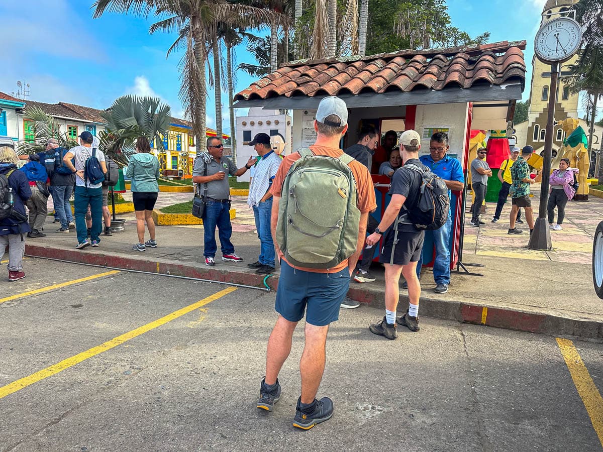
So what’s a Willy, exactly?
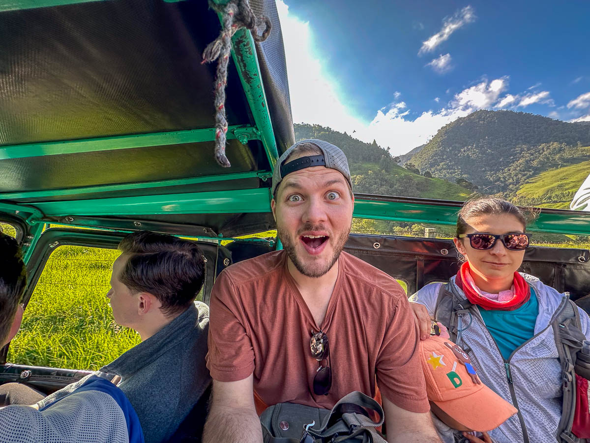
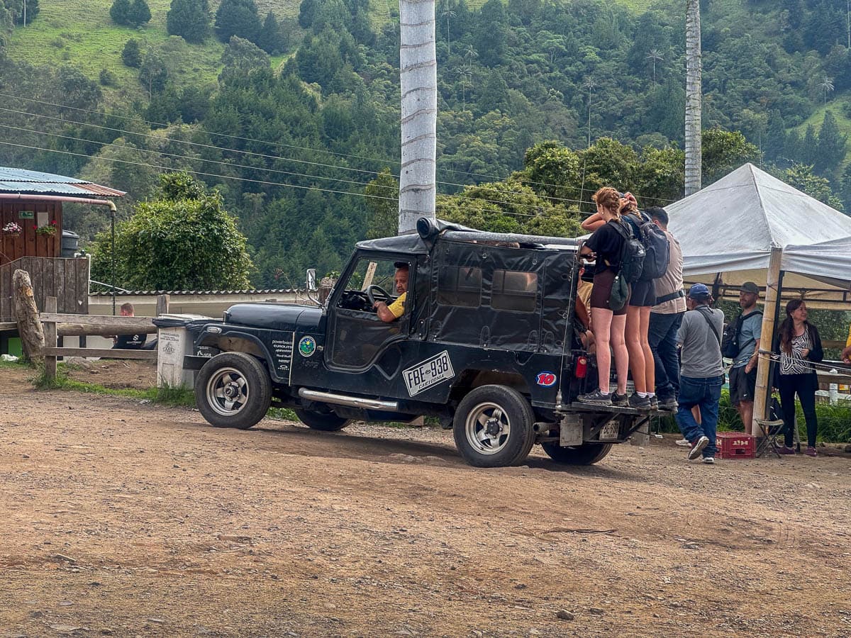
A Willy is a vintage Jeep (dating back a whopping 60 years) that’s been retrofitted to have two benches in the back. Depending on how many people squeeze into the back—and hold onto the bumper, a Willy can fit up to about 15 people at a time. I’d highly suggest trying to snag a seat in the back—the views once you start driving into the Cocora Valley are SO beautiful!
The Willys start departing from Salento to the Cocora Valley at around 6:30 AM and make their final return trip from the Valley back to Salento around 6 PM.
Alternatively, if you prefer guided experiences or just don’t want to mess around with the Willys, you can alternatively take a tour, like this private option (note that this company offers English speaking tour guides, but you’ll need to request it).
In all honesty, getting to the Cocora Valley and the Cerro Morrogacho trailhead is pretty straightforward and you definitely don’t need a tour to get to the trailhead.
That being said, unlike the most popular trail in the Cocora Valley (aptly named the Cocora Valley hike), Cerro Morrogacho is poorly marked, not particularly highly trafficked, and traverses a lot of random private farms. So, if you don’t speak particularly good Spanish or don’t hike a ton, it certainly wouldn’t be a terrible idea to go with a guide that’s familiar with the trail that could fend off any hypothetical angry Colombian farmers.
Getting to the Cerro Morrogacho trailhead
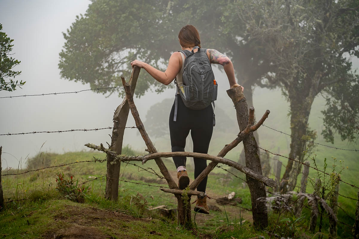
From where the Willys drop you off, you’ll walk uphill until you reach this junction—there’s usually an attendant there to help you head the correct direction, but in any event, be sure to head to the right here.
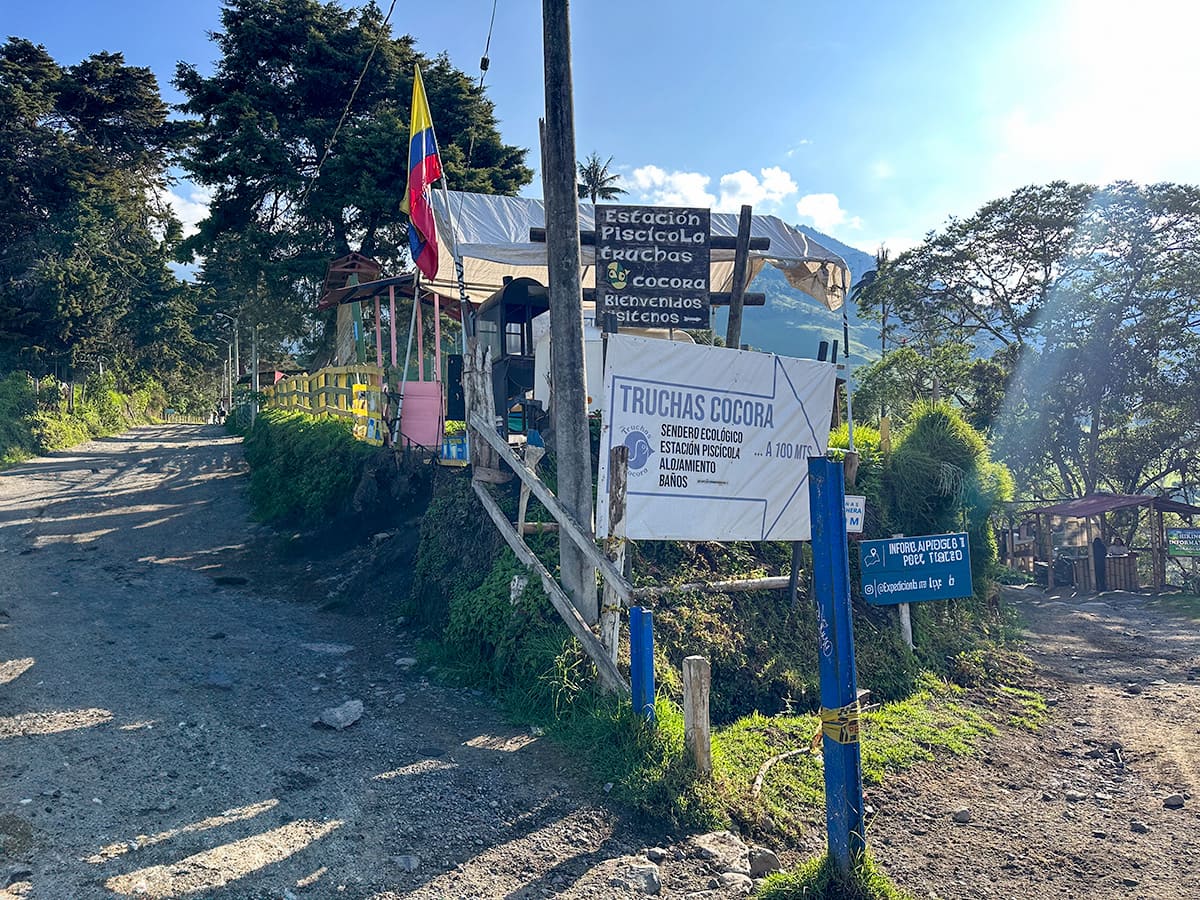
Shortly after this junction, you’ll reach a kiosk, where you’ll tell the attendant you want to hike the Cerro Morrogacho hike and pay the entrance fee.
What to expect on the Cerro Morrogacho hike
Entrance fee station to junction with Cocora Valley loop
From the kiosk where you’ll pay your entrance fee, you’ll continue down the dirt path for about 0.3 miles, crossing a wooden bridge over a pretty stream.
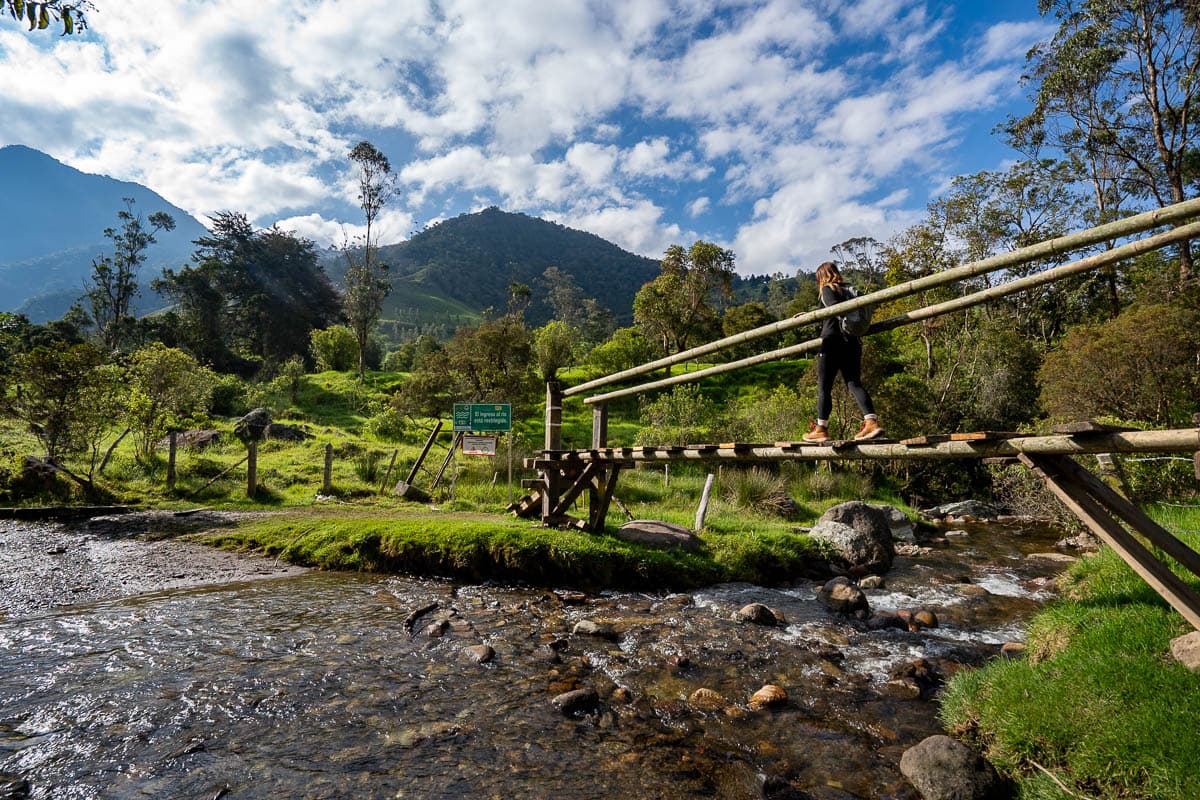
Shortly after the bridge, you’ll reach a junction.
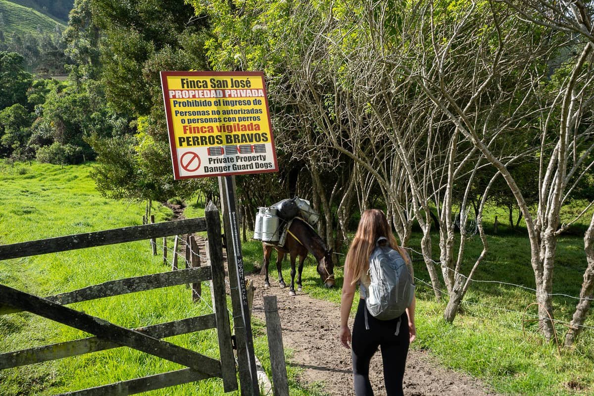
This section is really confusing. There’s signs that look like the trail to the right is leading through private property, but you’ll actually want to continue down this path.
The trail to the left actually is for the Cocora Valley hike, if you’re doing its full loop counter-clockwise. If you accidentally go the wrong way (like us!), you’ll shortly run into an additional entrance fee station, where the loop trail traverses onto private property.
Junction to cloud forest
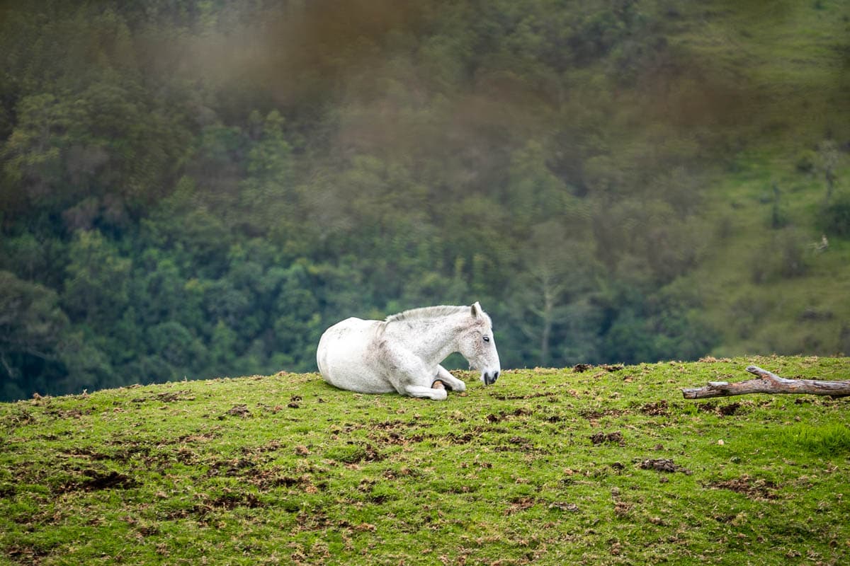
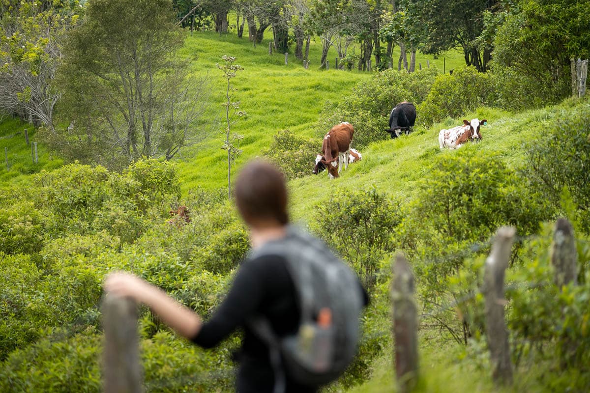
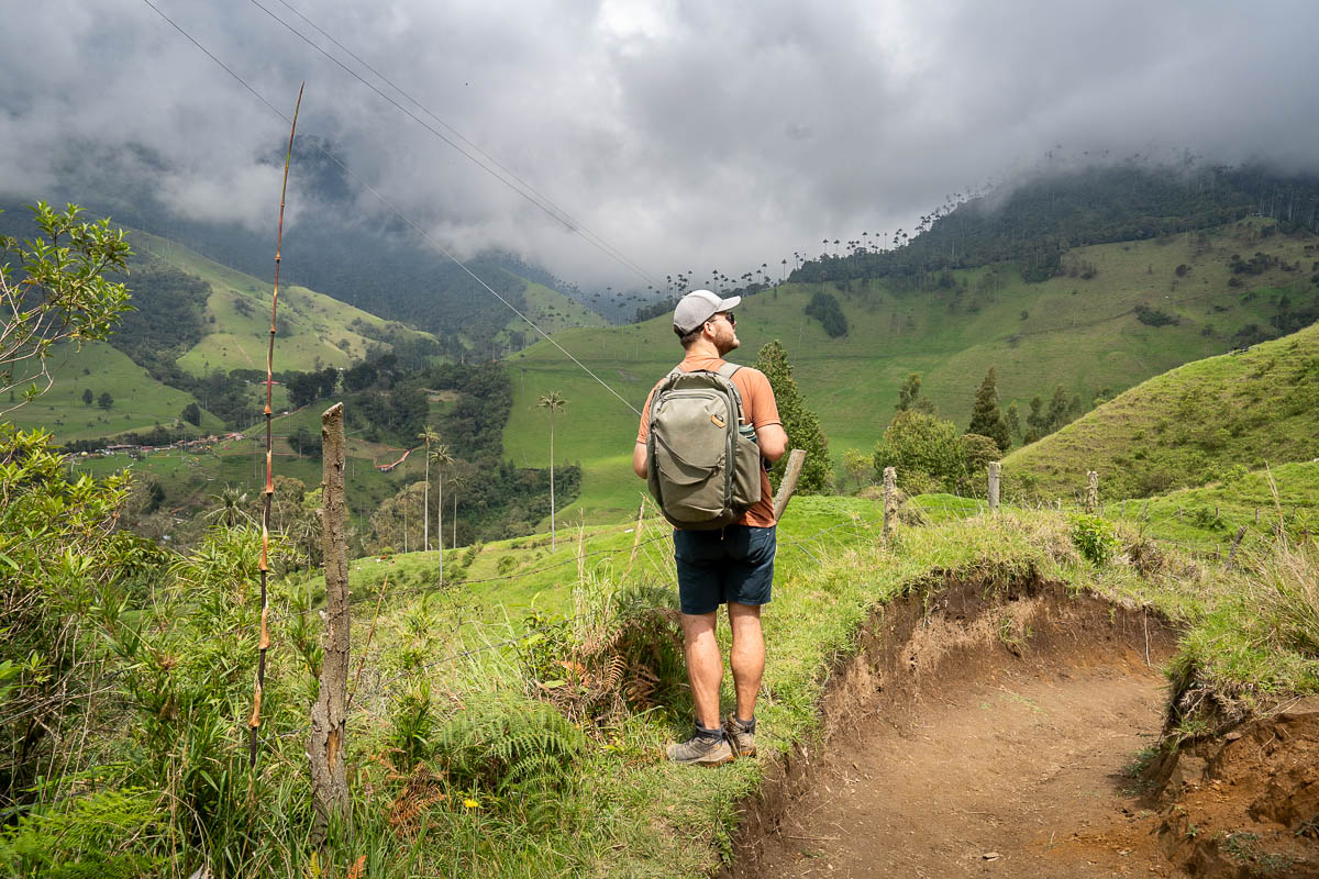
From this junction, you’ll start climbing through open pastures and farmland, with the surrounding hills dotted with cows and horses.
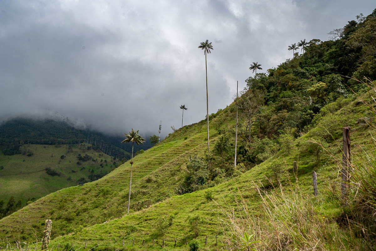
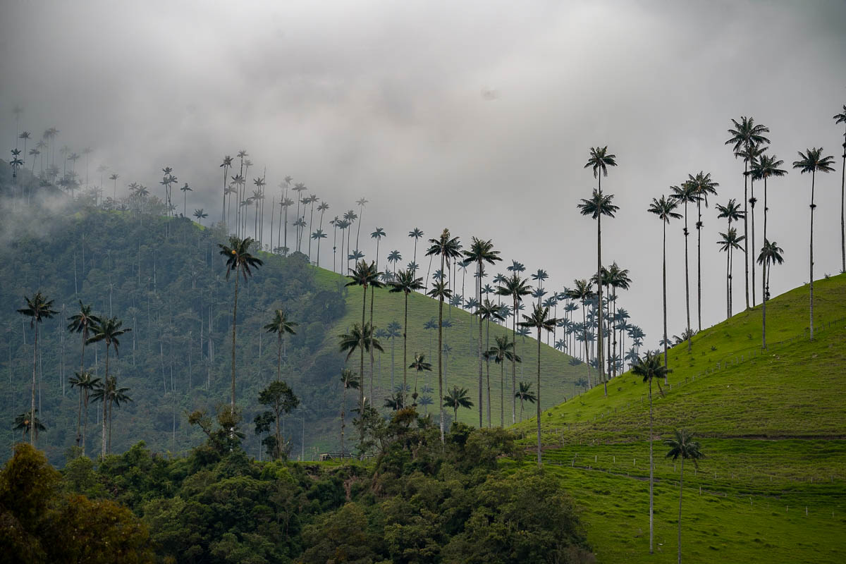
There’s a handful of wax palms scattered around this area of the trail, with the densest forest of them (which is called El Bosque de Las Palmas) off in the distance.
Be prepared to encounter a LOT of mud along the trail in this section. It’s definitely one of the muddiest hikes we’ve ever done—we encountered some areas of the trail that had patches of mud that were about mid-calf deep! I’d HIGHLY recommend wearing waterproof hiking boots (here’s the kind I use and here’s the kind Justin uses), trekking poles, and pants you don’t care about too much for this trail!
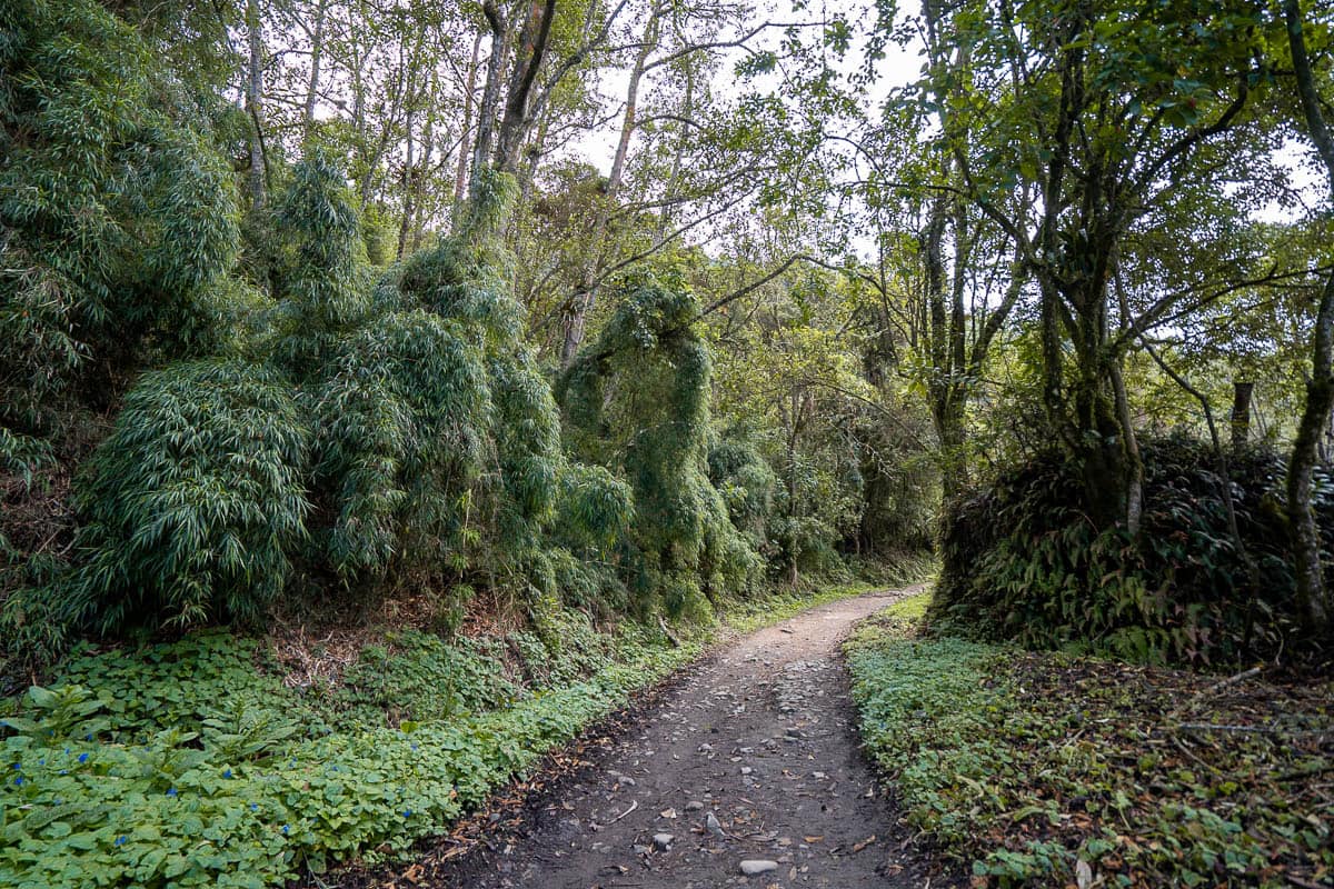
Eventually, the trail will snake into a dense jungle, where you’ll climb across some steep switchbacks.
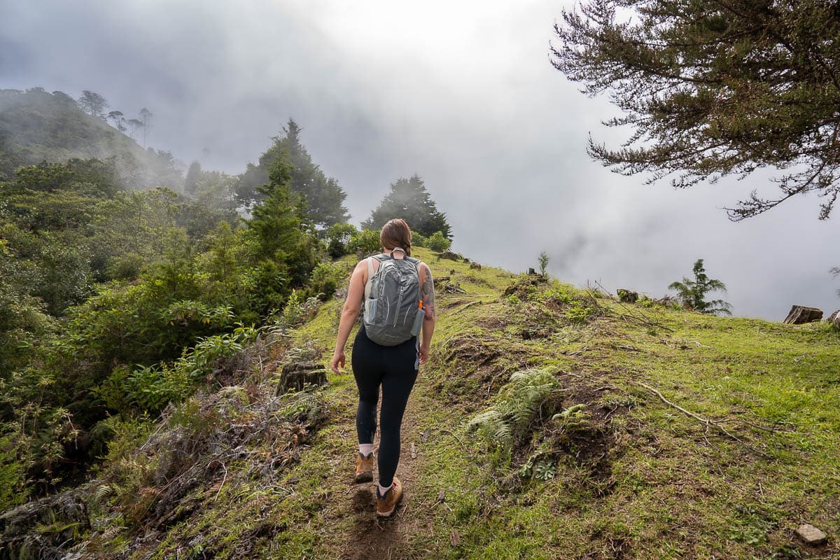
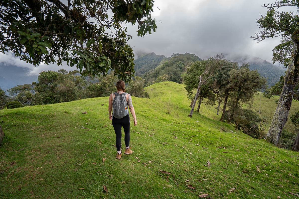
At around two miles into the trail, you’ll pop out of the forest and back into open farmland. From here, you’ll be on a ridgeline, overlooking rolling green pastures on one side and the Cocora Valley on the other side.
This section was where the trail got really confusing to us, with random paths that appeared to head STRAIGHT uphill and through fenced off farms.
Keep an eye out for the blue flags and a handful of “Cerro Morrogacho” signs, which demarcate the trail and for parts of the fences that have clearly been modified so that hikers can get through, like in the photo below. I’d also strongly recommend downloading the map on AllTrails ahead of time, so you can follow along with GPS.
The path continues to steeply climb uphill, until you reach the last mile or so, which leads into a lush cloud forest.
Cloud forest to Cerro Morrogacho
The last portion through the cloud forest is BRUTAL, with incredibly steep grades (some over 40%!) and lots of mud patches.
Eventually, you’ll reach a small hut, Casa Morragacho, where you can buy a small selection of snacks and drinks, and, a bit after that, the final viewpoint of the trail.
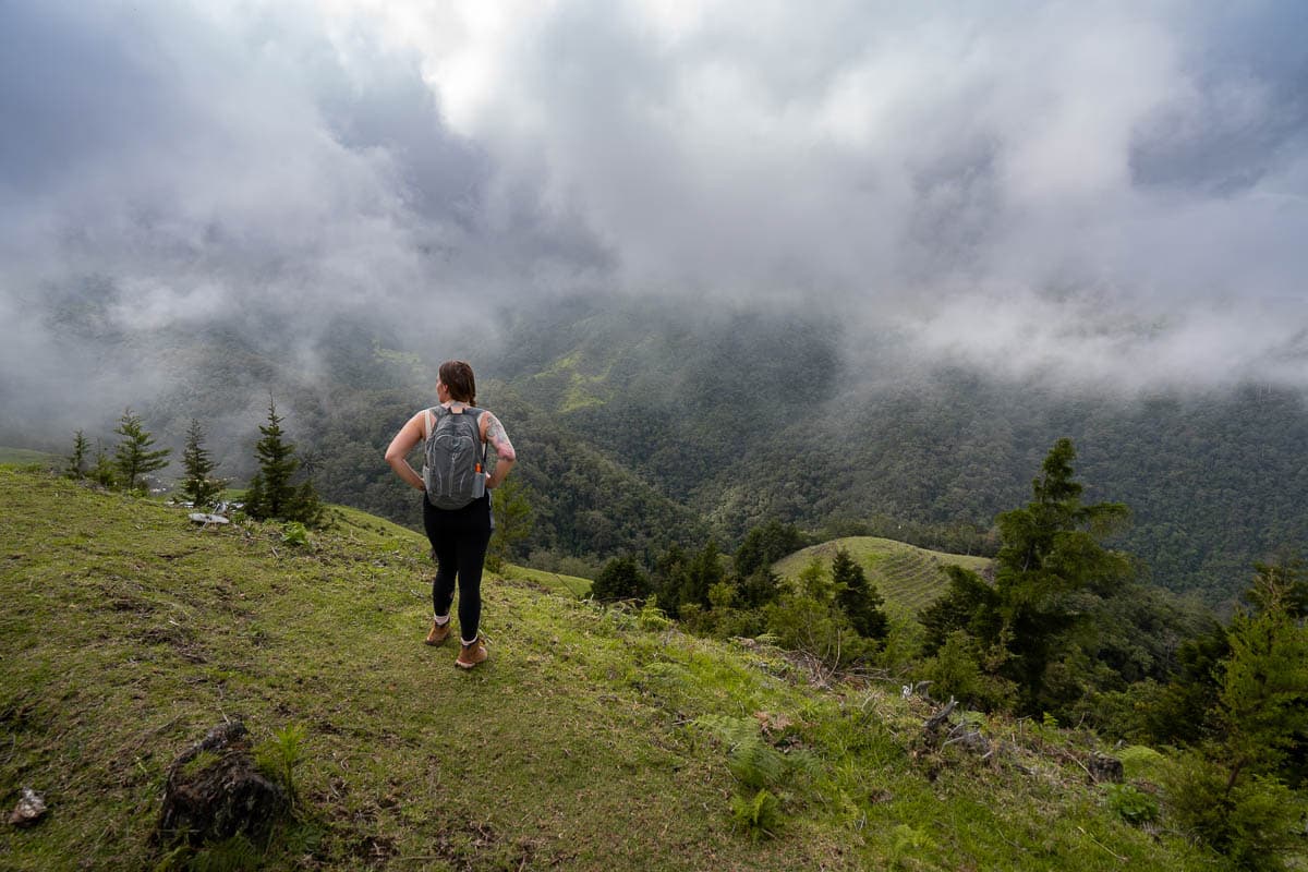
From here, you’ll have panoramic views of the surrounding Andes, sprawling farmlands, and the Cocora Valley below.
In full transparency, once you reach the cloud forest area of the trail, there’s a pretty good chance that you’ll, well, be in a dense cloud (it is a cloud forest, after all!). So, there’s a good chance that you’ll climb up this incredibly steep trail, through deep pockets of mud, and not actually get any views of anything at the top.
Occasionally, though, the clouds will break for a bit, giving you a glimpse of the surrounding views for a second, or, if you’re really lucky, will completely dissipate. In any event, if you get to the top and it’s completely socked in, I’d strongly recommend waiting a bit to see if you get lucky with the clouds.
When we hiked this trail, there were extremely thick clouds and light rain for over an hour as we were hiking up to the cloud forest—so we opted to turn back before making it to the top. The trail is INCREDIBLY steep in some areas and, with all of the mud, we were worried about falling and hurting ourselves on the way down.
However, one of the best things about this trail is that you’ll have beautiful views of the surrounding landscape almost the entire time, outside of the short sections through the jungle and cloud forest—so, even if you don’t hike to the Cerro Morrogacho viewpoint, you’ll get awesome views!
Tips for the Cerro Morrogacho hike
This is not the best hike to see the wax palms
If you learn anything about this article, I hope it’s this—Cerro Morrogacho is not the best trail to see the wax palms.
While there are a handful of them sprinkled on the trail, most of them are concentrated in the El Bosque de Las Palmas, along the Cocora Valley trail. You can see this wax palm forest along the Cerro Morrogacho Trail, but it’s WAY off in the distance.
Accordingly, if you only have one day here and primarily want to see the wax palms, I’d actually recommend hitting the Cocora Valley trail instead.
We actually only did Cerro Morrogacho as the attendant at the trailhead told us the Cocora Valley loop was, in part, illegal (which, in retrospect, I’m pretty sure was an inaccurate statement to encourage us to pay for and hike this trail instead—which worked!). We did not realize that this trail didn’t provide up close and personal views of the wax palms until we had already climbed thousands of feet in elevation gain.
To be clear, Cerro Morrogacho offers stunning views and is an excellent option for those looking for some intense cardio or to beat the crowds of the Cocora Valley—just don’t expect the aforementioned views to really include the wax palms!
Hit the trailhead as early as you can
The Cocora Valley is known for its low-hanging clouds, which frequently roll in by the afternoon. Accordingly, you’ll have the best chance of getting views at the top of Cerro Morrogacho and a relatively dry trail the earlier in the day you go.
Additionally, it’s likely this hike will take you a while, between the steep incline, confusing trail, and extreme altitude. Starting in the morning should give you plenty of time to hike up to the viewpoint and make it down safely before the last Willy heads back to Salento for the day.
Come prepared
Cerro Morrogacho isn’t exactly the kind of hike that you should decide to do at the trailhead. It’s quite challenging, on the longer side, and passes through a bunch of microclimates along the way.
Here are some things you should bring with you to make sure you can safely complete the trail:
- Plenty of water: Between the steep incline, high altitude, and sun exposure along the trail, I’d recommend bringing more water than you think you need. We always bring our comically giant Nalgene bottles along with us on hikes.
- Snacks
- Cash: For the entrance fee and for any snacks/drinks along the trail or at the trailhead
- Clothing layers: You’ll be hiking through a bunch of different microclimates and with a pretty extreme variation in elevation. Be prepared to be quite hot and cold along the trail.
- Sunscreen
- Rainjacket (here’s the one I use and here’s Justin’s)
- Waterproof hiking boots (here’s my pair and here’s Justin’s)
- Hiking poles
- Downloaded AllTrails map: The trail is incredibly confusing, so I’d recommend downloading a map on AllTrails ahead of time. There’s no cell service here and, in order to download offline maps through AllTrails, you’ll need an AllTrails+ account, a paid subscription. We only have a handful of subscriptions, but AllTrails+ is definitely one of our favorites!
When to Visit the Cerro Morrogacho trail
If you couldn’t tell from all of the talk about lush hillsides, low-hanging clouds, and mud, the Cocora Valley is definitely a rainy area.
You’ll have the best chance of clear skies and less muddy trails from December through February, but I’d still definitely be prepared for wet weather, even if you’re visiting during that timeframe. We stayed in Salento for a week in December and it still POURED for four of the days we were there!
Enjoy the Cerro Morrogacho trail—it’s definitely a unique way to explore the Cocora Valley! Do you have any questions about this butt-kicker of a hike? Let us know in the comments below!
