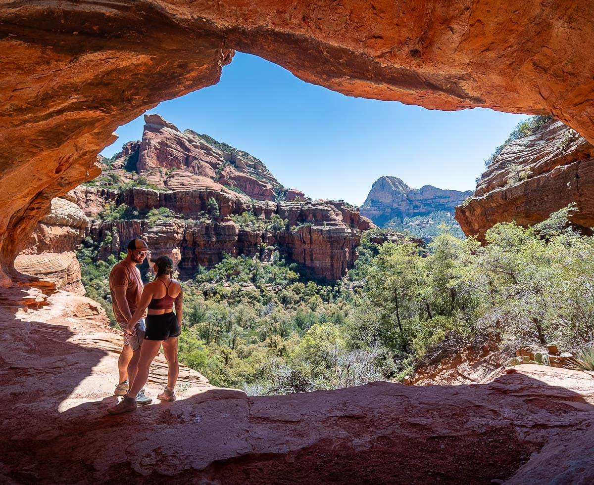
Sedona, Arizona is known for its jaw-dropping red sandstone formations, which have eroded over millennia into dramatic mesas, spires, and caves. If you want to get up close and personal with some of these unique formations, here’s 4 incredible caves in Sedona, Arizona to add to your bucket list.
This post may contain affiliate links. If you make a purchase through them, we may receive a small commission, for which we are extremely grateful, at no extra cost to you.
You unfortunately can’t just drive up to most of the caves in Sedona and, rather, will need to hike at least a couple of miles to access them.
Accordingly, in this article, I’m outlining which trails you’ll need to take to reach the caves, from the easiest to the most challenging, plus everything you need to know about these hikes, from where to park (which can be surprisingly tricky to find!) to tips on getting the best photos of the caves.
Caves in Sedona, Arizona
1. Birthing Cave
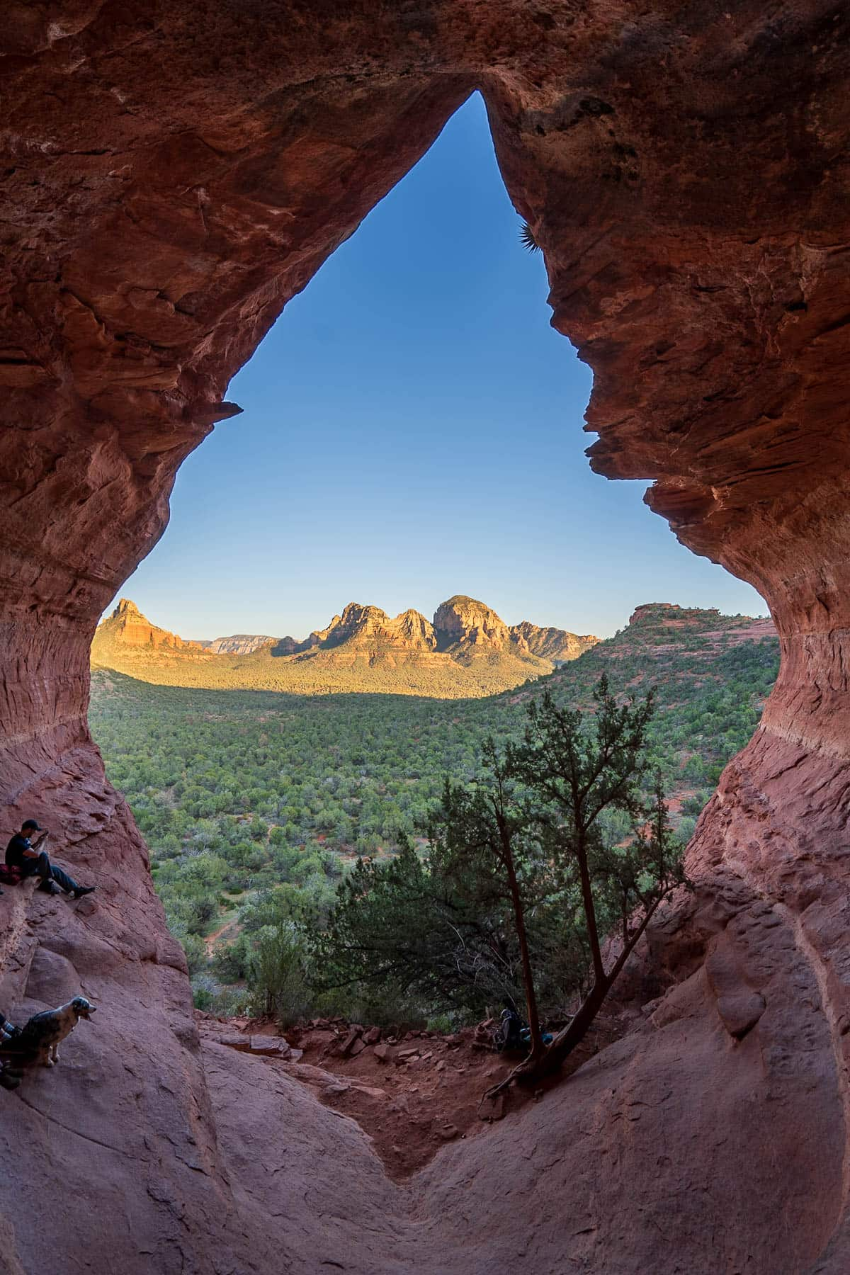
The Birthing Cave is a diamond-shaped cavern that’s carved into a red rock cliffside. The opening is massive—stretching at least a hundred feet tall and overlooking the surrounding red rock mesas and Ponderosa pine tree forests.
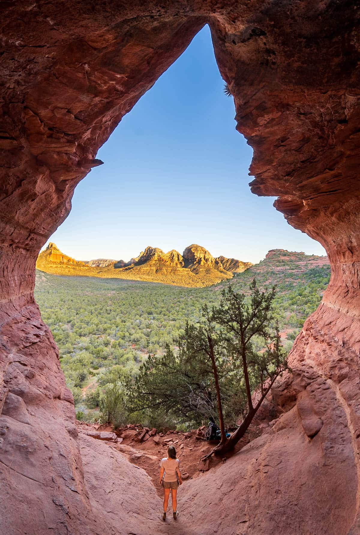
It’s not clear how the Birthing Cave got its name. Some believe that the cave was named for its resemblance to the, ahem, female anatomy. However, I’ve also heard a local legend that Hopi women came to the cave to give birth and believed it was one of Sedona’s famed “vortexes” for sexual or feminine energy.
I’m not sure about all the energy stuff, but it’s definitely a beautiful feature and one of the easiest caves in Sedona to get to!
What trail do you take to get to the Birthing Cave?
This one’s quite easy—you just take the Birthing Cave Trail here.
About the Birthing Cave Trail
- Trail length: 1.9 miles
- Elevation gain: 242 feet
- Difficulty: Easy
- Pass required? None
- Trail map
Where to park for the Birthing Cave Trail
There’s a handful of parking spots near the Birthing Cave trailhead, located here, as well as a handful of pull-offs just north of there, along Long Canyon Road.
How to get to the Birthing Cave
The Birthing Cave Trail is one of the only hikes to a cave in Sedona that’s along a fairly flat and easy pathway. Accordingly, this is an excellent option for beginner hikers or those who may not have a lot of time.
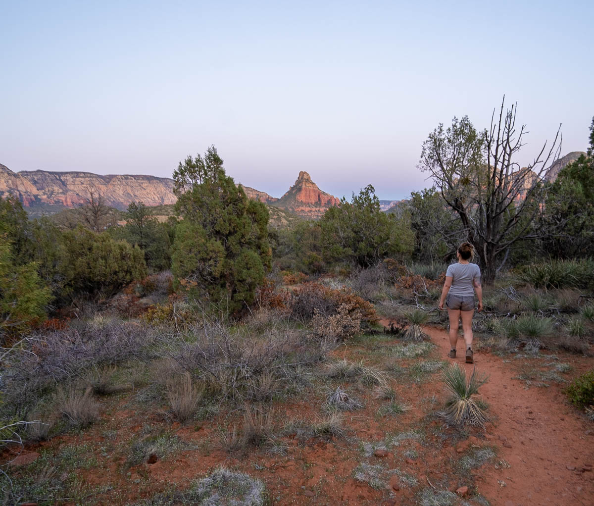
The beginning portion of the trail overlaps with the popular Long Canyon Trail. However, at 0.6 miles in, the two trails diverge, with the Birthing Cave leading off to the left towards a cliffside.
To be honest, this portion is not well-signed and there’s seemingly a zillion social trails that lead every which way. I’d strongly recommend downloading an offline version of the trail map on AllTrails ahead of time, given there’s no cell service here. My husband, Justin, and I have hiked this trail multiple times and, even following along with the trail map, have still managed to get lost every time we do it!
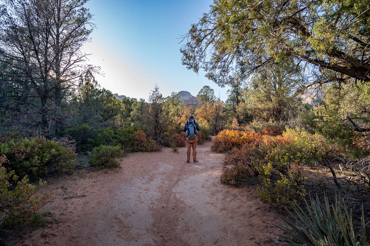
After about a mile, you’ll get your first glimpse of the Birthing Cave in front of you, a large heart-shaped opening in the red cliffside. To get up to it, you’ll need to scramble up a short but steep and rocky pathway to the cave’s floor.
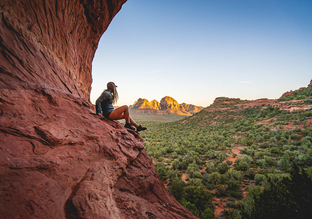
Once you’ve reached the cave, it’s a blast to climb along its slanted walls. For the best photos, try to scramble up to the little “belly button” indentation in the back of the cave!
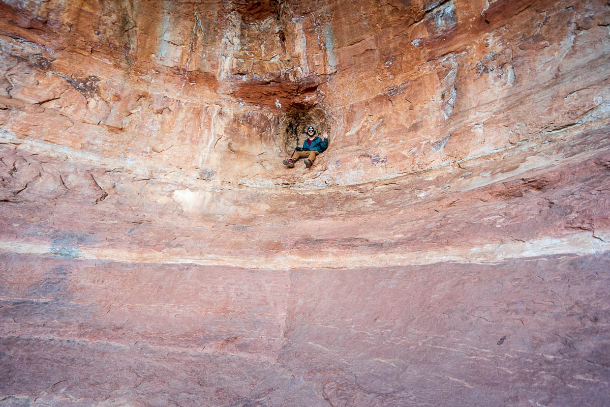
If you want to see the views outside of the cave’s opening at their finest, try to time your visit at sunset. The last bits of sunlight cast a fiery golden glow on the nearby red mesas—it’s ABSOLUTELY stunning!
2. Subway Cave
The Subway Cave is arguably the most famous one in Sedona, Arizona, thanks to its popularity on Instagram. It’s incredibly unique-looking, with narrow ledges that extend past its opening and perfectly rounded red walls.
Supposedly, the cave was “discovered” in the last few decades by a hiker, who named it the Subway Cave after its walls, which resemble a tube-like subway tunnel.
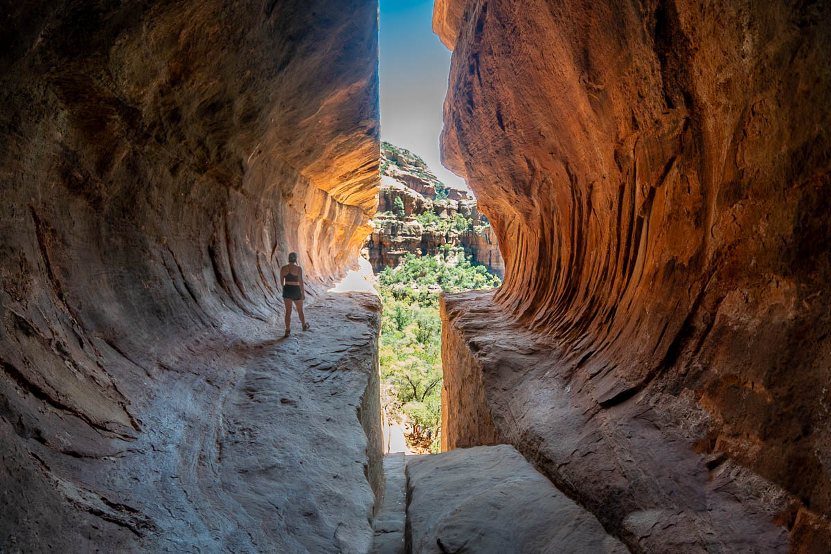
That being said, this hiker definitely wasn’t truly the first person to discover the cave. Besides being very Instagrammable, the cave is also historically important, with ruins and petroglyphs left behind by the Sinagua people, dating all the way back to 500 through 1300 AD.
Pssst… it should hopefully go without saying for all of these caves, but please follow the Leave No Trace principles and enjoy the historic ruins at this site respectfully. Not only is it a federal crime to disturb them in any way, but it’s also incredibly disrespectful to the Indigenous communities that have called Sedona home for thousands of years.
What trail do you take to get to the Subway Cave?
Unlike the other options on this list, you’ll actually follow an offshoot along a trail that’s not named after the cave—namely the Boynton Canyon Trail.
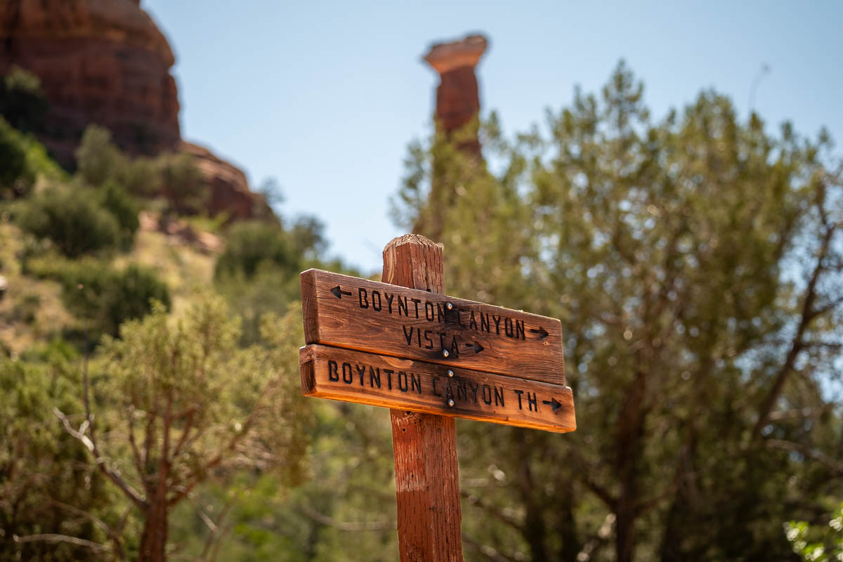
About the Boynton Canyon Trail
- Trail length: 5.3 miles (or 6.0 miles if you want to hike to both the cave and the end of the Boynton Canyon Trail)
- Elevation gain: 534 feet (or 1,164 feet if you want to hike the full trail)
- Difficulty: Moderate
- Pass required? A Red Rock Pass is required to park in the trailhead’s lot, which you can either purchase at the trailhead, online, or at a variety of stores around Sedona, for $5 per day or $15 per week. Alternatively, you can pick up an America the Beautiful Pass, which, for just $80, gets you into all of the U.S. National Parks and over two THOUSAND federally managed lands for free for an entire year!
- Trail map
Where to park for the Boynton Canyon Trail
The Boynton Canyon Trail has its own parking lot, which holds about 40 cars.
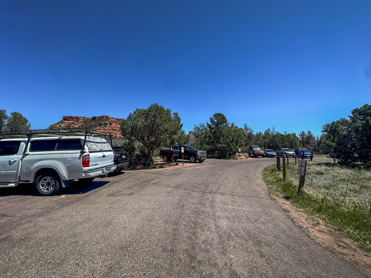
This is actually kind of large, at least by Sedona standards. Still, given the trail’s immense popularity, the lot frequently fills up by 8 AM or so, especially during busy periods, like weekends in the spring or fall. Accordingly, I’d definitely suggest getting here on the early side if you don’t want to vulture around for parking.
If the lot is already full, there’s also parking available down Boynton Pass Road. Just be sure to follow the posted signs—parking is not allowed on the street right outside of the trailhead parking lot, which is called Boynton Canyon Road. Sedona police can be absolutely ruthless with ticketing or even towing vehicles!
How to get to the Subway Cave
To reach the Subway Cave, you’ll start by hiking along the beginning section of the Boynton Canyon Trail.
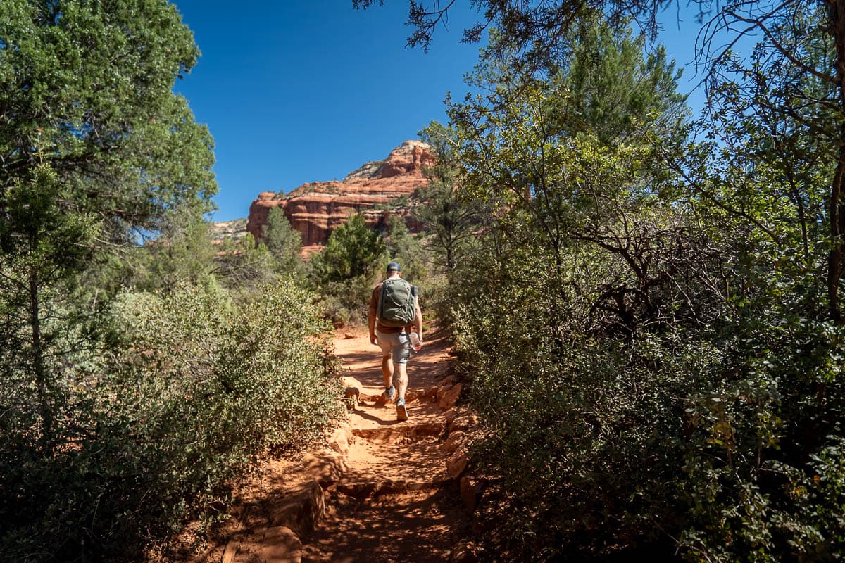
To be honest, this isn’t exactly my favorite part of a trail in Sedona, given that you’re hiking alongside residential housing and the Enchantment Resort for the majority of the way. But, luckily, after the first two miles, the buildings fade away and there’s nothing surrounding you other than beautiful forest and red rock formations.
At 2.3 miles in, you’ll notice a wide social trail to the right, located here. This pathway is unmarked, but there’s a few things that can help you find it, including a massive alligator juniper tree to the left side of the trail and, usually, an arrow made of rocks and sticks on the ground.
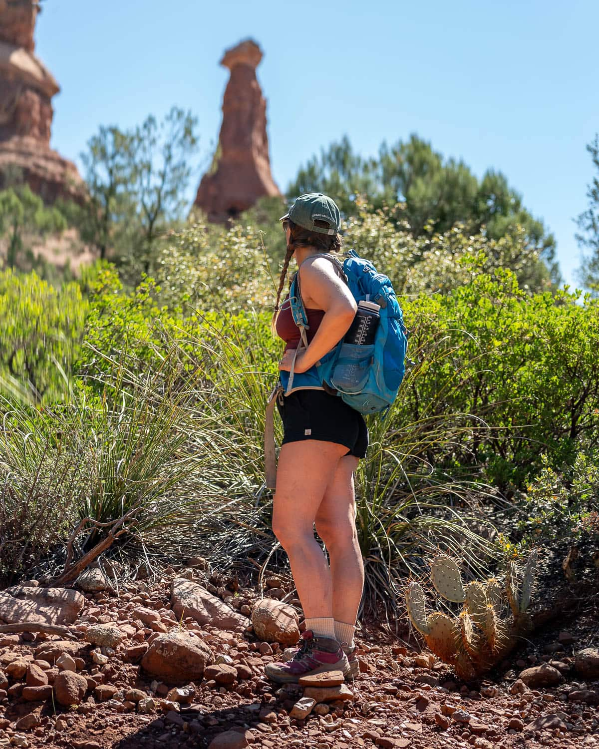
When in doubt, just ask the other hikers around you. I was pretty nervous about missing the offshoot to the Subway Cave, but literally every hiker that we passed in the half mile before we reached the turn-off gave us updates on how far away we were and what to look for. We honestly couldn’t miss it if we tried!
The last 0.4 miles of the trail to the cave is well-defined and climbs gently uphill through a forest.
You’ll eventually reach the base of a red cliffside and will have two options for climbing up to the Subway Cave.
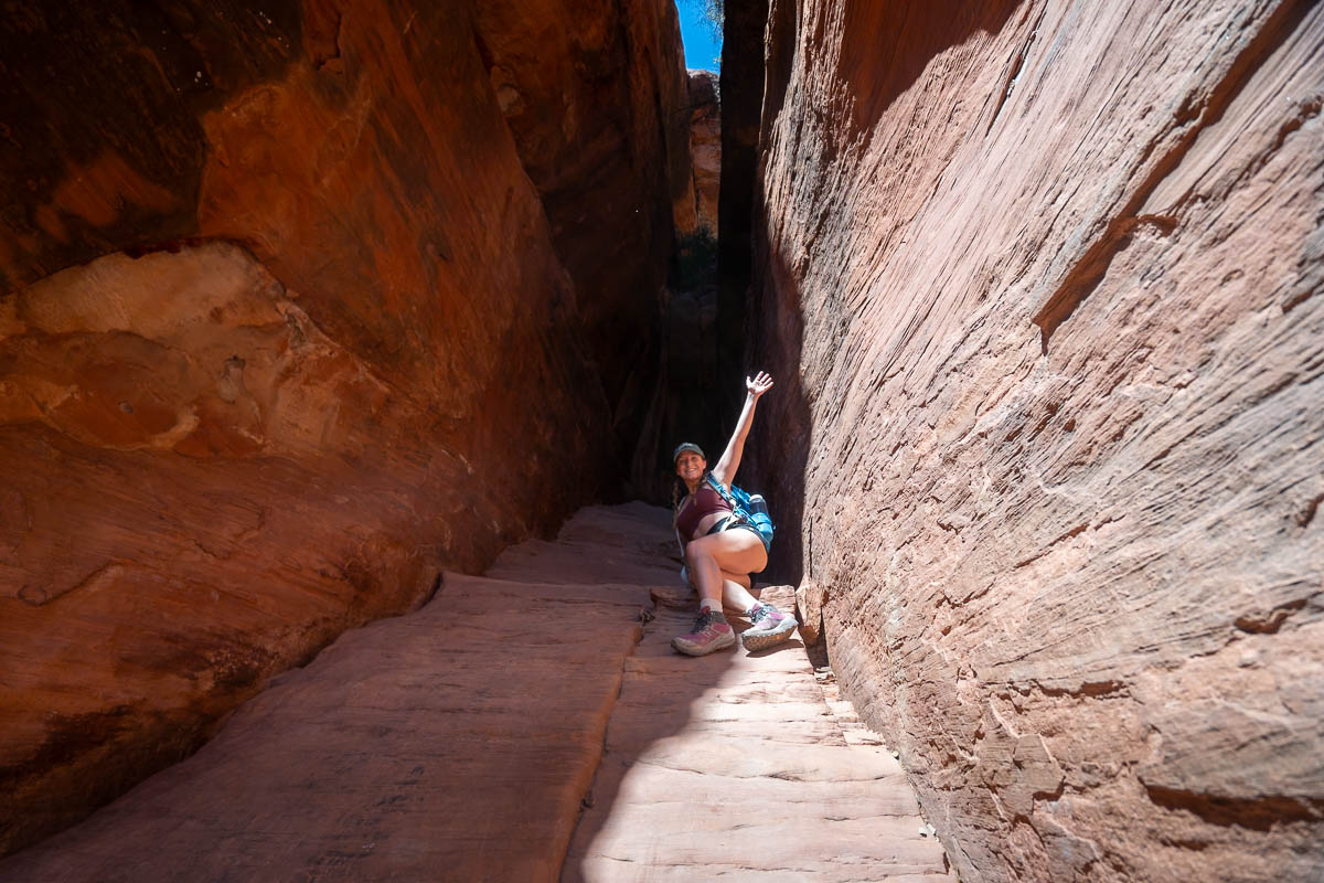
To the right hand side, there’s a slickrock incline that you can scramble up, which will lead you to the back portion of the Subway Cave. The rock here is pretty steep and slippery, so if you’re new to scrambling or are scared of heights, I wouldn’t suggest climbing up this way.
Alternatively, you can follow the base of the cliffside towards the left, where you’ll find a rocky pathway that leads up to a ledge near the Sinagua ruins. This second option is still a bit steep and uneven, but is definitely more approachable for beginner hikers than the slickrock incline.
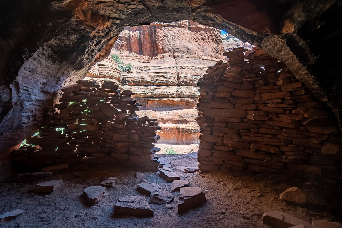
If you use the second route to climb up, you can continue walking on the ledge to the right, stopping to (respectfully) admire the ancient ruins and eventually reaching the Subway Cave.
As someone who is a bit nervous about heights, walking along the narrow ledge here can feel a bit scary, given that there’s steep drop-offs of about 20 or so feet. Still, so long as you walk slowly and carefully, the ledge is plenty wide!
Once you’re in the Subway Cave, you can admire its curved walls, carefully walk along its ledges, and take in the views of the surrounding red rock cliffs through its opening.
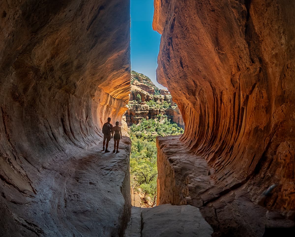
If you’re hoping to get photos or videos by yourself in the cave, I’d strongly suggest coming super early on a weekday to beat the masses. I had heard that hikers patiently waited in line so that other visitors can get whatever photos or videos they wanted, but that was decidedly not the vibe when we visited.
So please be respectful of others—both while they’re getting photos and while you’re trying to get your own—and come prepared to be patient!
3. Soldier Pass Cave
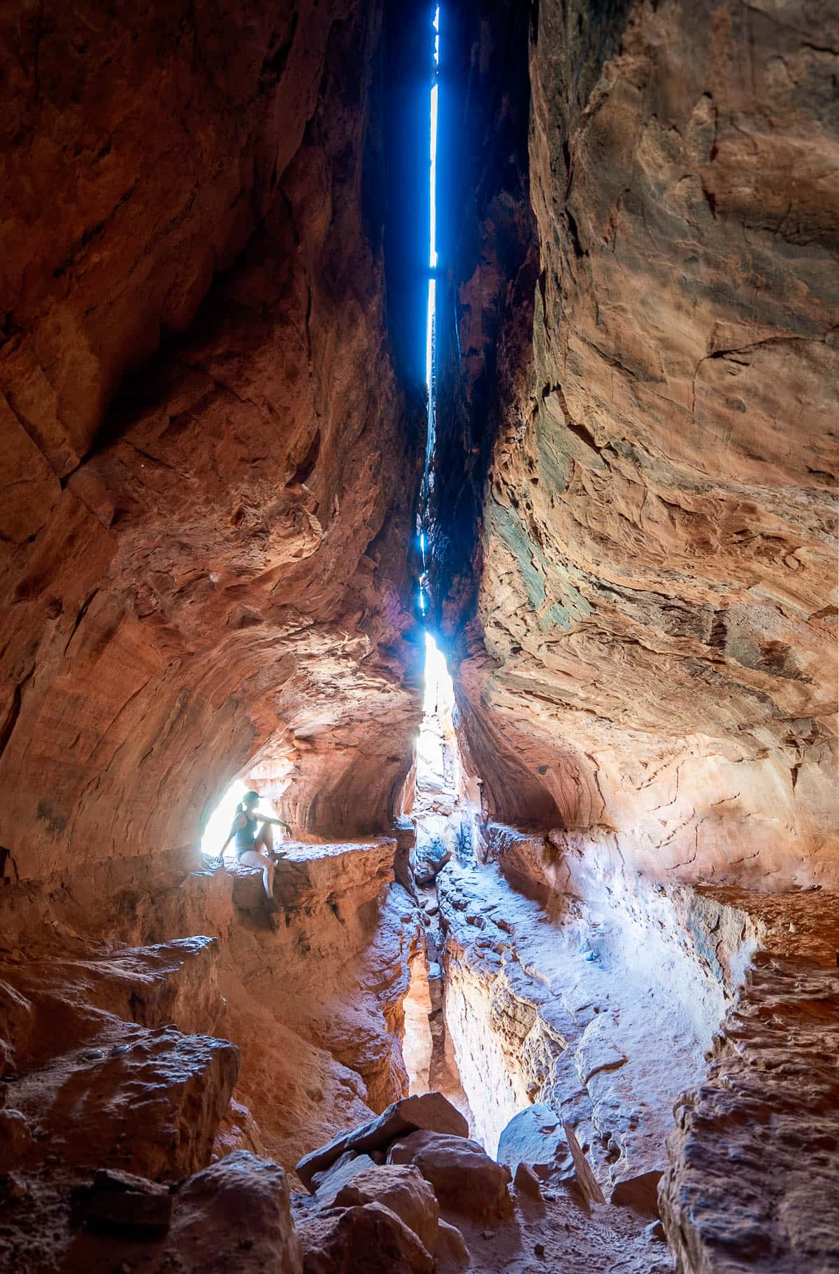
Soldier Pass is definitely one of the most uniquely beautiful caves in Sedona, with a long, narrow opening that you have to climb up from the bottom, and a perfect window, complete with a ledge to sit on and spectacular views of the surrounding red rock cliffs.
What trail do you take to get to the Soldier Pass Cave?
You’ll take an offshoot from the very popular Soldier Pass Trail to the cave.
About the Soldier Pass Trail
- Trail length: 3.0 miles roundtrip from the trailhead to the cave (or 4.5 miles, if you hike the entire Soldier Pass Trail)
- Elevation gain: 500 feet roundtrip from the trailhead to the cave (or 856 feet, if you want to hike the full trail)
- Difficulty: Moderate
- Pass required? If you park in the lot for the Soldier Pass Trail, you don’t need a pass. However, if you need to park at the Jordan Road trailhead, discussed further below, you’ll need either a Red Rock or an America the Beautiful pass.
- Trail map
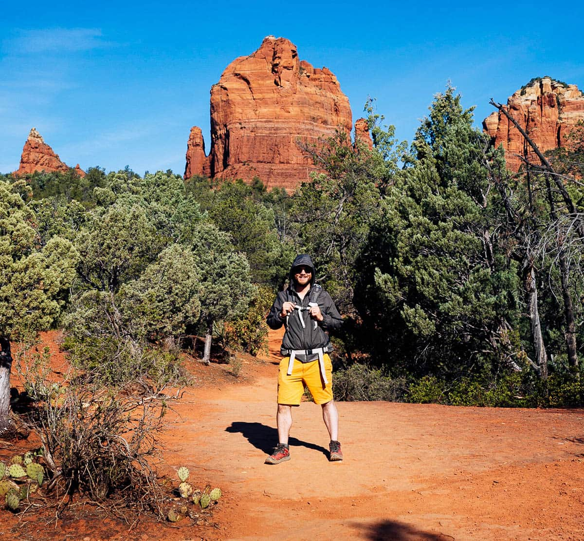
Where to park for the Soldier Pass Trail
The good news is that the Soldier Pass Trail has its very own parking lot.
The bad news?
Even though this is one of the most popular hikes in Sedona, the lot only holds about 14 cars and its gates are only open from 8 AM to 6 PM. Plus, the surrounding fancy residential neighborhood doesn’t allow street parking, so unless you get in line for the lot extremely early (like, before 7 AM early), there’s an extremely slim chance you’ll actually find a spot here.
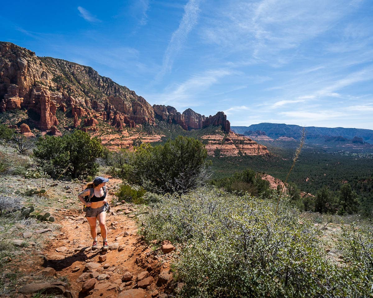
Luckily, you have a few other options of where to park.
Sedona actually has a free shuttle for hikers from Thursday through Sunday, 7 AM to 5:30 PM. Additionally, there’s certain times of the year, like during spring break or on holidays, where the shuttle operates every single day.
To get to Soldier Pass this way, park in the Posse Grounds Park and Ride and simply hop on the shuttle. For a schedule and more information, check out the Sedona Shuttle website.
Alternatively, you can park at the Jordan Road trailhead. This is just a 15 minute drive away from the Soldier Pass trailhead, has at least twice as many parking spots, and is open around the clock.
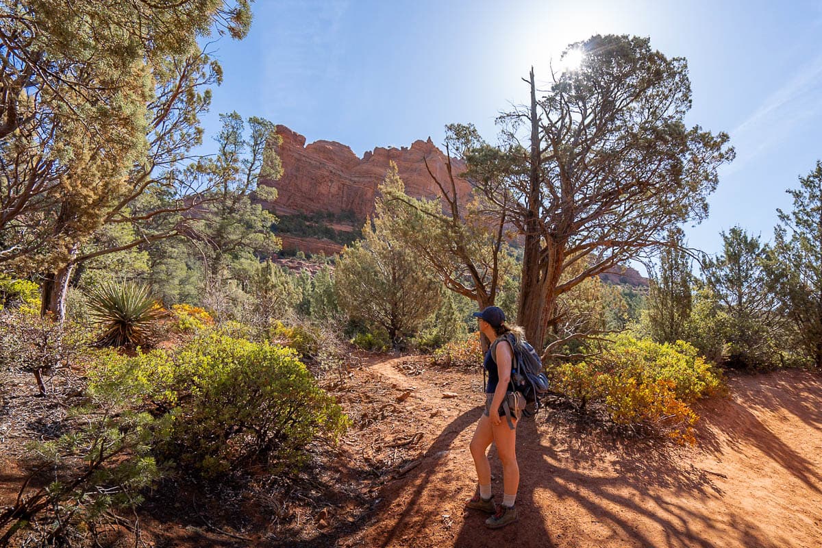
If you park at the Jordan Road trailhead, you’ll need to hike on this trail, which adds about half a mile and 70 feet of elevation gain to your total hike. This is how Justin and I hiked to the Soldier Pass Cave, hiking counterclockwise along the Cibola Pass Trail, and really enjoyed it!
How to get to the Soldier Pass Cave
For the sake of this article, I’m going to assume you’re going to hike to the cave from the Soldier Pass trailhead.
The beginning portion of the Soldier Pass Trail is absolutely packed with unique features. At 0.2 miles in, you can gaze into the Devil’s Kitchen, a 150-foot wide sinkhole, and at 0.6 miles in, you’ll pass the Seven Sacred Pools, a series of cascading pools that fill with water during Sedona’s rainy season.
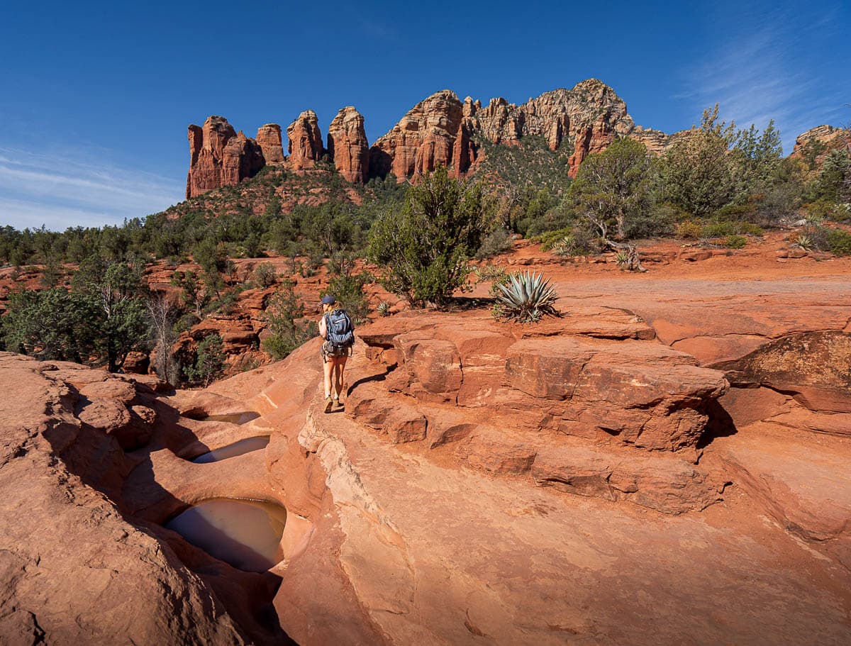
At 1.3 miles in, the trail forks off here to the right, which leads to the Soldier Pass Cave. If you’re not sure you’re in the right spot, keep your eyes peeled for a National Forest Wilderness sign nailed to a tree to the right of the trail.
The AllTrails’ map can also be helpful, as the trail to the cave is clearly marked (the cave is called the “Soldier’s Arch” on the map).
The social trail up to the cave is quite steep, gaining about 300 feet of elevation along a slickrock incline in just 0.3 miles. Still, before you know it, you’ll see an arch carved into the cliffside in front of you—the Soldier Pass Cave!
The final climb up to the cave is a bit tricky. There’s some rocks that have been stacked to (very loosely) resemble stairs that you can use to hoist yourself up into the cave. Just be prepared—it’s way easier to climb up into the cave than getting back down!
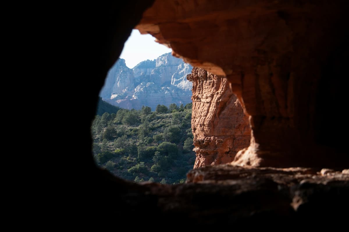
Once you’ve climbed into its opening, you can explore the cave along its ledges, enjoy the stunning view out of its “window”, and watch how the light shining in from the narrow cracks dances across the red walls.
4. Keyhole Cave
If you’re looking to enjoy one of the caves in Sedona, Arizona all to yourself, this is going to be your best bet. The Keyhole Cave has flown under the mass tourism radar, likely due, in part, to the unmaintained and challenging trail and the steep (to the point of verging on rock climbing) ascent into the cave.
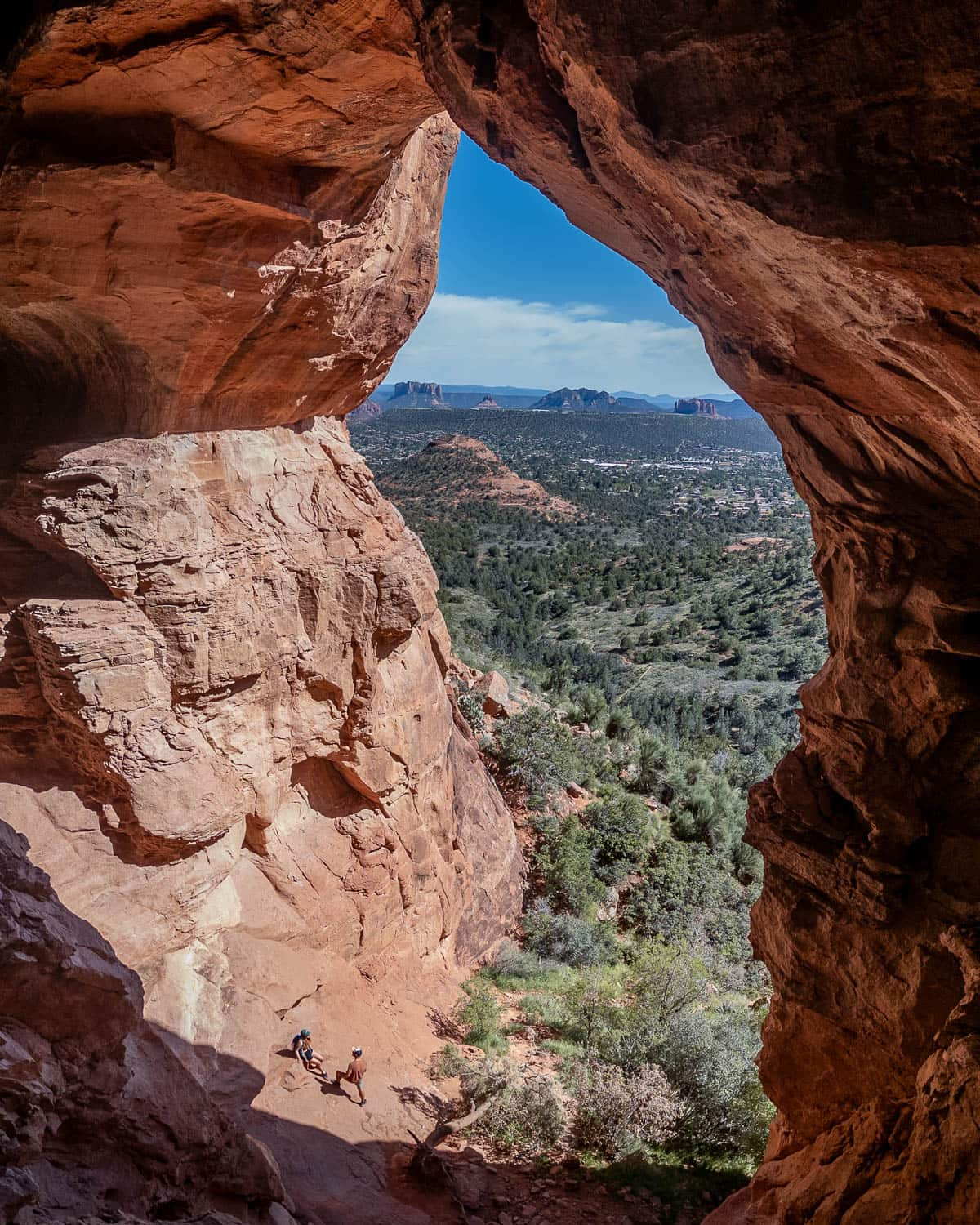
Still, if you’re up for an adventure, this trail takes you up to a MASSIVE cave, with one of the most jaw-dropping views of the surrounding red rock formations in all of Sedona.
What trail do you take to get to the Keyhole Cave?
The majority of the pathway is along social trails, but luckily, there’s a handy dandy AllTrails’ map for the Keyhole Cave Trail.
About the Keyhole Cave Trail
- Trail length: 2.0 miles
- Elevation gain: 531 feet
- Difficulty: Challenging
- Pass required? If you park in the lot for the Keyhole Cave Trail, you’ll need either a Red Rock or an America the Beautiful pass.
- Trail map
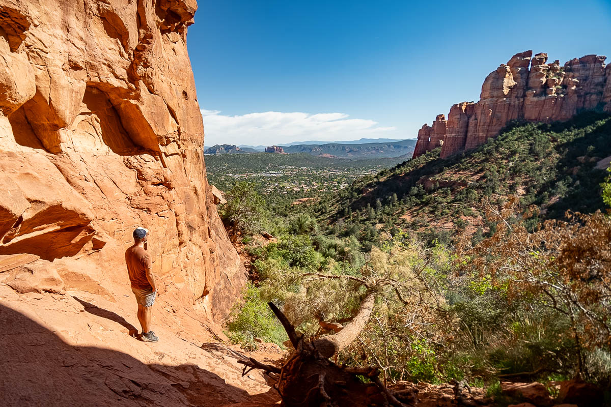
Where to park for the Keyhole Cave Trail
The trailhead has a small parking lot, located here, that fits about 15 cars.
Several popular trails, including Thunder Mountain, the Sugar Loaf Loop, and the Tea Cup Trail, all depart from this lot, so it’s not uncommon for it to be full during busier times, like on weekends in spring or fall.
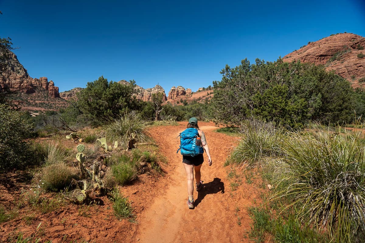
Luckily, some of the streets in the surrounding residential neighborhood actually allow street parking, which is kind of a rarity in Sedona. Just be mindful of any “no parking” signs and be respectful of the residents here (e.g., don’t block people’s driveways or loudly slam your door if you’re hiking early or late).
How to get to the Keyhole Cave
From the trailhead, you’ll follow the beginning of the Tea Cup Trail, climbing gently uphill along the desert floor.
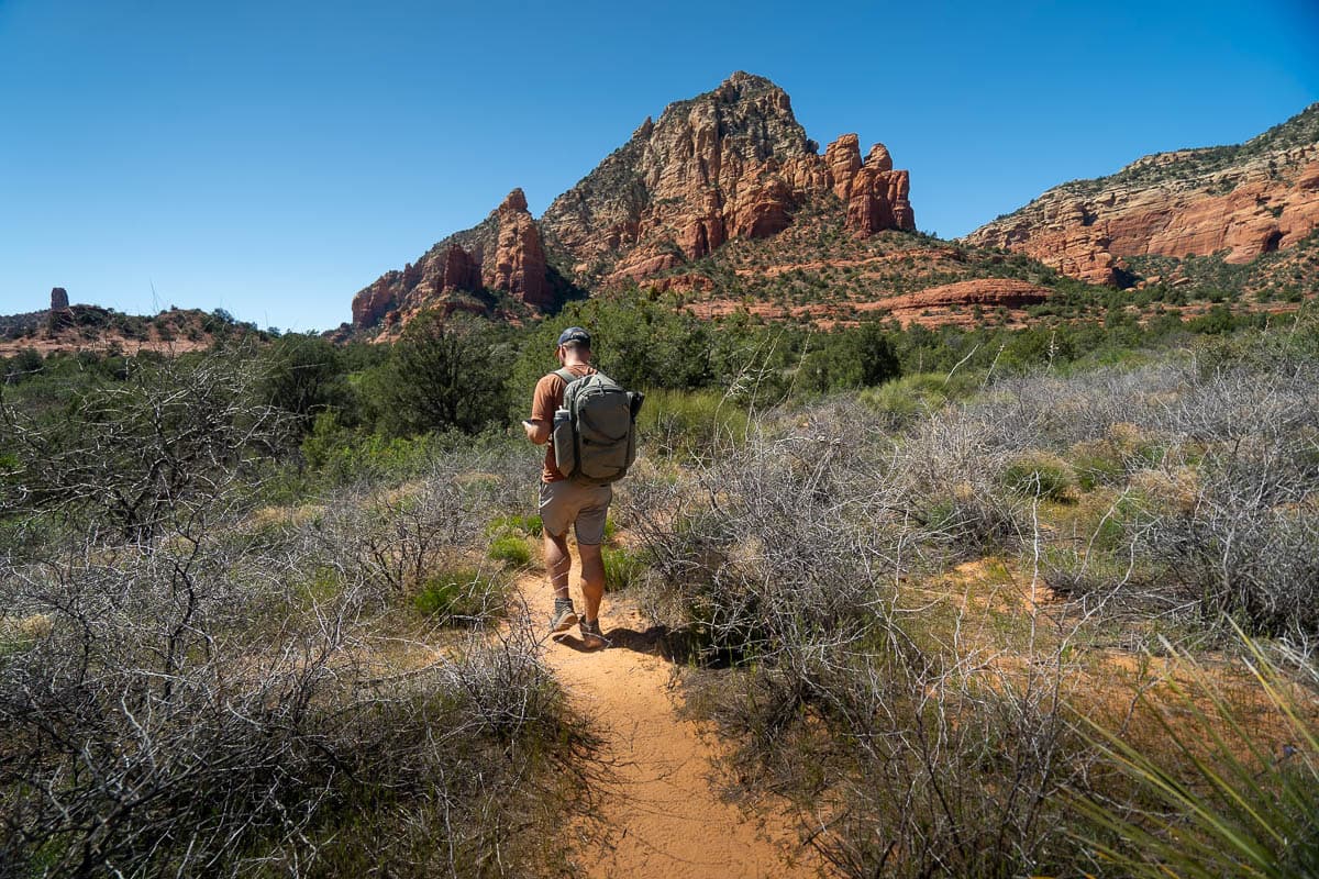
After 0.3 miles, you’ll continue straight on a social trail through the trees and desert shrubbery.
To be honest, there’s TONS of boot trails here and it’s pretty easy to get turned around, so I’d highly recommend downloading the offline map on AllTrails and just following along l with GPS. Justin and I followed the AllTrails map to the cave and still managed to get lost a few times!
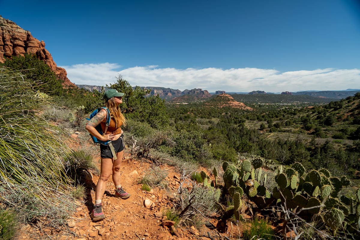
In addition to being hard to follow, the trail is sometimes quite narrow and is lined with stabby plants. I’d highly recommend wearing long pants and, if the temperature allows, long sleeves to protect your skin from the needle-y desert plants.
After hiking gently uphill for 0.9 miles, you’ll reach the final climb up to the cave, which is along an EXTREMELY steep, slippery, and crumbly trail. I’d highly recommend bringing along trekking poles to help your climb up and down this portion—it would be SUPER easy to fall and hurt yourself here!
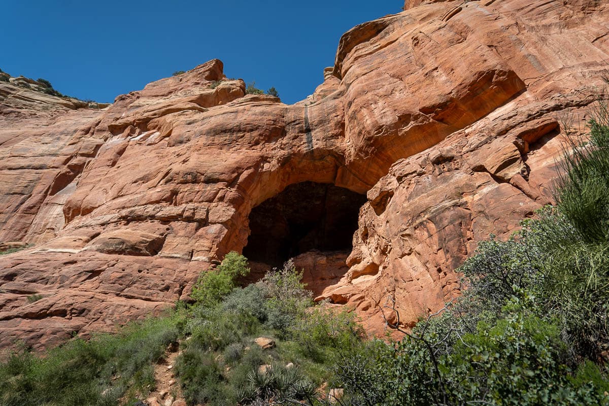
Eventually, you’ll scramble your way up to the opening of the cave, where you can catch your breath and take in the spectacular views of the red rocks mesas towering over the desert floor below.
But the adventure doesn’t stop here! If you want to climb all the way up to the top ledge of the Keyhole Cave, there’s three 40-foot walls (to the right, center, and left) that you can scale your way up.
These walls are EXTREMELY steep and, in my opinion, climbing up them is more akin to rock climbing than hiking or even scrambling. To Justin and me, we thought the wall to the left looked the most approachable, but, try as we may, could not figure out a way to climb up it safely.
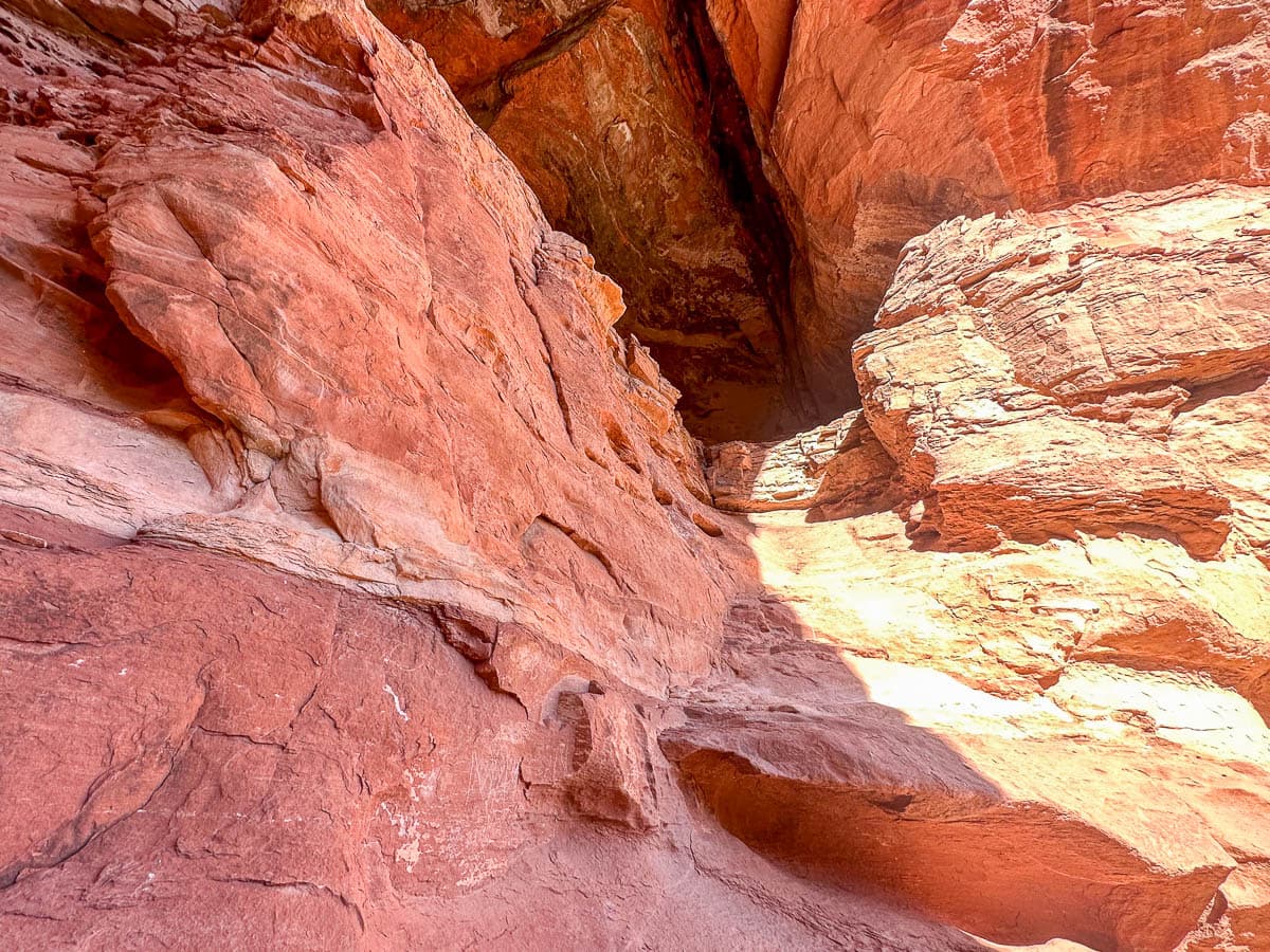
After returning from the cave, I researched how the heck people get up to the top ledge and have found that most people use the route to the right, towards the front of the cave.
There’s also, allegedly, a chain or rope that is sometimes tied to one of the walls to help you climb up. However, it was decidedly not there when we visited, so I certainly wouldn’t count on it!
In any event, please know your limits and, if you can’t find a safe way to the top, it’s totally fine (and the much smarter thing to do!) to just enjoy the cave from its opening. No cave is worth hurting yourself for!
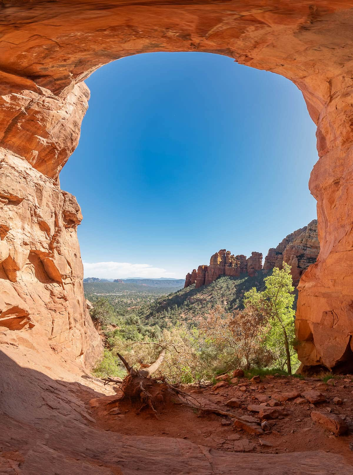
No matter what part of the cave you end your journey, give yourself plenty of time to take in the views of Bell Rock, the nearby formations, and the surrounding pine tree forests. We’ve hiked a LOT in Sedona and this is one of the best views we’ve found here!
When to visit Sedona, Arizona
The best time to visit Sedona for outdoor adventures is in the springtime (March through April) and the fall (September through October), when the temperatures are pleasantly warm and the skies are clear.
I’ve visited Sedona countless times and, while I do agree that the spring and fall offer the perfect weather for outdoor adventures, it’s also one of the busiest times for visitors in town. Unfortunately, Sedona’s infrastructure, from parking at trailheads and its roads to restaurants and hotels, hasn’t kept up with the demand from tourists in recent years and the town can feel quite cramped and chaotic during these timeframes.
If you prefer to avoid crowds, I’d consider visiting in the wintertime, when the temperatures are still warm enough to hike but there’s WAY less tourists. Plus, if you’re lucky, you might be able to see Sedona’s gorgeous red rock formations with a dusting of snow!
The only season that I’d recommend avoiding is in the summertime, when the temperature can swell above 100 degrees. If you do decide to visit during this timeframe, I’d strongly recommend starting your hikes bright and early (like, before sunrise early!) and bringing along more water than you think you need. The most common source of injury amongst hikers is dehydration, after all!
I hope you have the best time exploring all of the awesome caves in Sedona has to offer! Do you have any questions about getting to these unique features? Let us know in the comments below!

