Guadalupe Mountains is one of the least visited U.S. National Parks, which is a massive oversight. This incredible park is home to many impressive superlatives, including the tallest mountain in all of Texas—Guadalupe Peak, which towers at a whopping 8.751 feet tall. If you want to climb to the top of Texas yourself, here’s everything you need to know about hiking the Guadalupe Peak Trail.
This post may contain affiliate links. If you make a purchase through them, we may receive a small commission, for which we are extremely grateful, at no extra cost to you.
About Guadalupe Peak Trail
- Length: 8.1 miles
- Elevation: 2,949 feet
- Difficulty: Challenging. It is the tallest mountain in Texas, after all!
- Dog-friendly? Like most trails in U.S. National Parks, you’ll need to leave your furry best friend at home for this one.
- Trail map
How to Get to the Guadalupe Peak Trail
The Guadalupe Peak Trail is located here, near the Pine Springs Visitor Center in Guadalupe Mountains National Park, along the northwestern border of Texas.
The park is pretty remote. If you’re planning on flying in, the closest major airiklport is El Paso International Airport, a little under two hours west of the park. You’ll need to get a rental car to get to and around Guadalupe Mountains—unlike some U.S. National Parks, there’s no shuttles here.
To enter the park, there’s an entrance fee of $10 per person (16 years and up) that’s good for a week. You can pay your entrance fee in the Visitor Center, which is conveniently right by the trailhead.
Alternatively, you can buy an America the Beautiful Pass for just $80 and it will get you into all of the U.S. National Parks and over two THOUSAND federally managed parks for an entire year for free!
The trailhead shares a parking lot with several other popular hikes in the park, including the El Capitan and Devil’s Hall Trails. It’s also a bit unique—there’s about 50 parking spaces for vehicles, but a good portion of the lot also serves as RV campsites for the Pine Springs Campground.
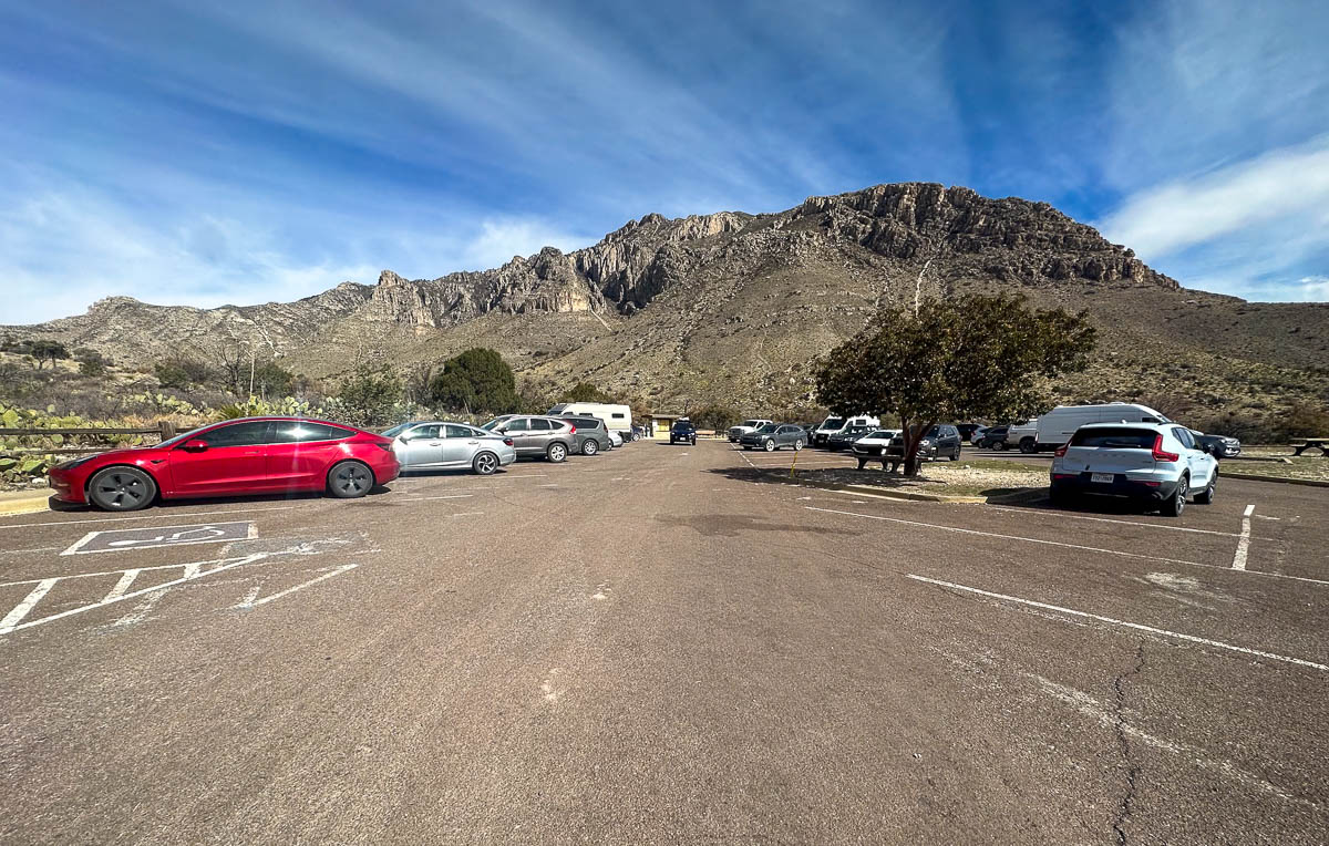
All that being said, the parking lot frequently fills up by mid-morning, especially during busy periods, like on weekends in the spring or the fall. My husband, Justin, and I visited on a Thursday in March and snagged one of the last parking spots around 9 AM.
If you’re not here early enough to find a spot, you can park in the lot for the Visitor Center, which will add 0.8 miles roundtrip to your hike, or, if that’s full, there’s an overflow lot located along Highway 62, which will add 1.6 miles roundtrip.
What to expect along the Guadalupe Peak Trail
Trailhead to summit
As mentioned above, there’s several trails that leave from this area, so be sure to head to the western side of the parking lot and follow signs for Guadalupe Peak.
At just 0.1 miles into your hike, you’ll run into a junction with the El Capitan Trail, which runs perpendicular to the pathway. However, just continue straight for Guadalupe Peak.
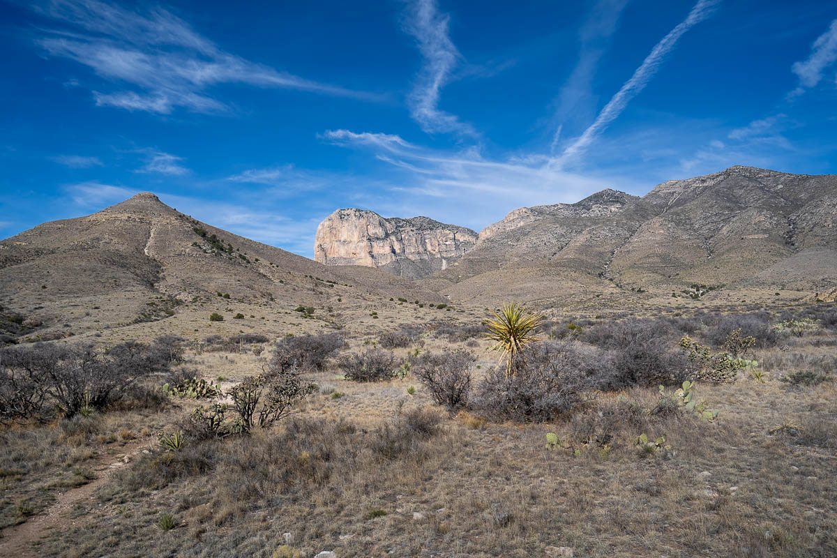
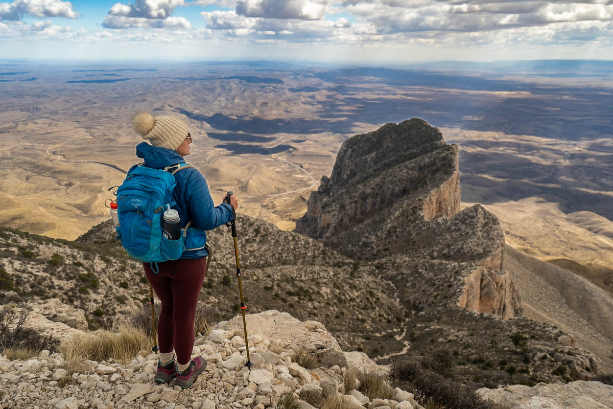
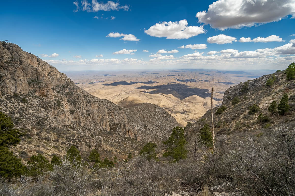
I’m not going to lie—the first mile of the Guadalupe Peak Trail is definitely the toughest, gaining almost 1,000 feet as you climb up a series of rocky and uneven switchbacks. On a more positive note, though, the views of Hunter Peak to the north and the sprawling Chihuahuan Desert below gets better and better with each step.
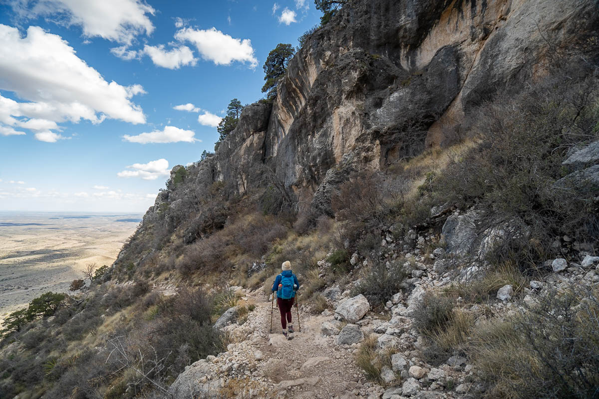
About 0.8 miles into your hike, you’ll run into another junction, marked with a sign that says “No stock beyond this point.” The path on the right hand side leads downhill to the (also super cool!) Devil’s Hall Trail, so continue uphill on the trail to the left.
After the first mile, the incline becomes blessedly less steep. That being said, there are a few sections that are quite narrow, with sheer drop-offs to the desert floor hundreds of feet below. So be sure to have careful footing here and keep a close eye on any kiddos you have with you.
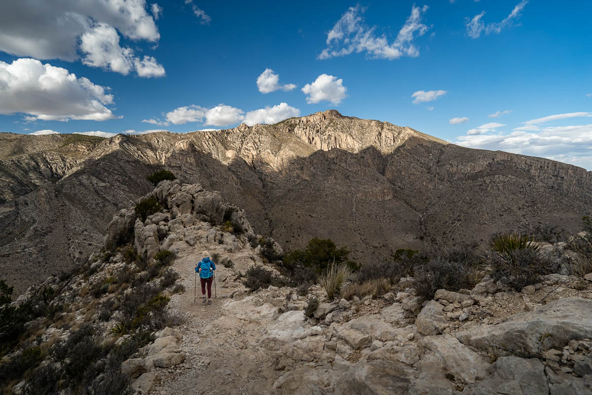
About 1.4 miles into the trail, you’ll reach the top of a ridge line and follow it around a corner to the western side of the mountain. This part of the trail can get EXTREMELY windy—when Justin and I hiked here, his hat almost got blown straight off the mountain, with wind gusts exceeding 50 miles per hour. So have some warm layers at the ready and secure any loose items, like hats or scarves, in case you run into any crazy winds!
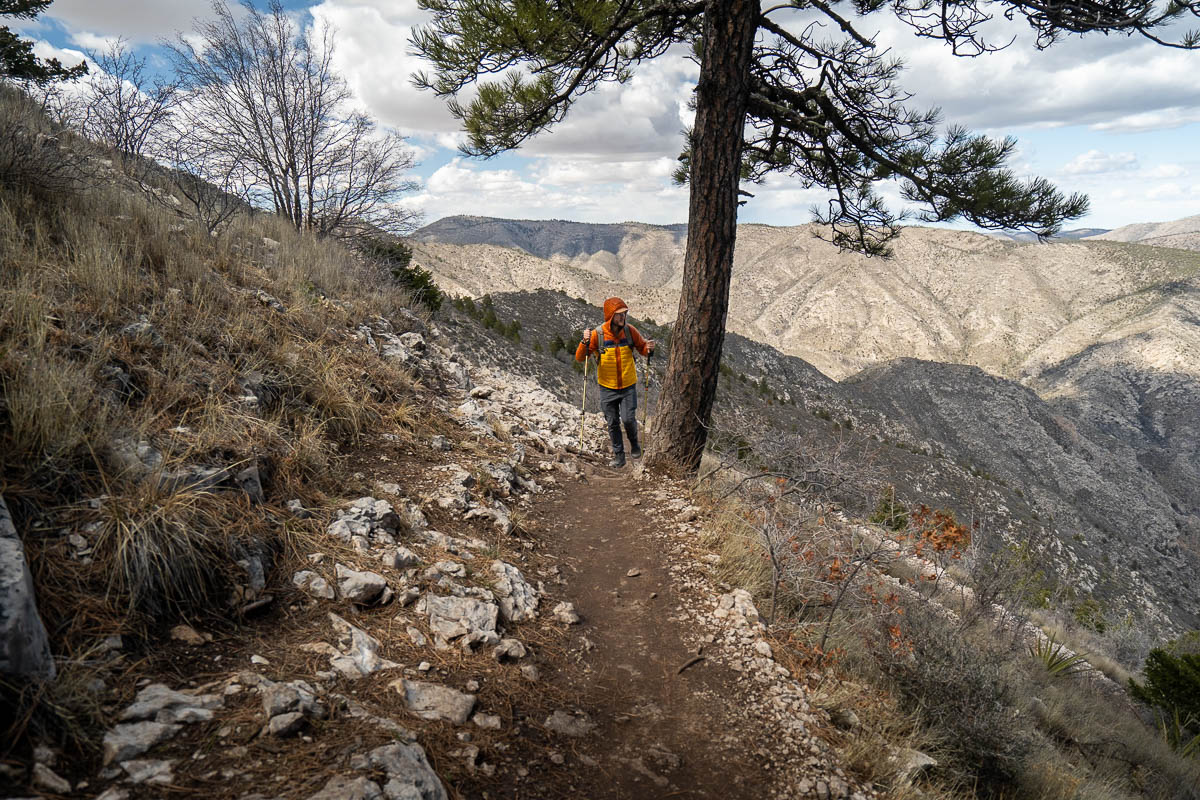
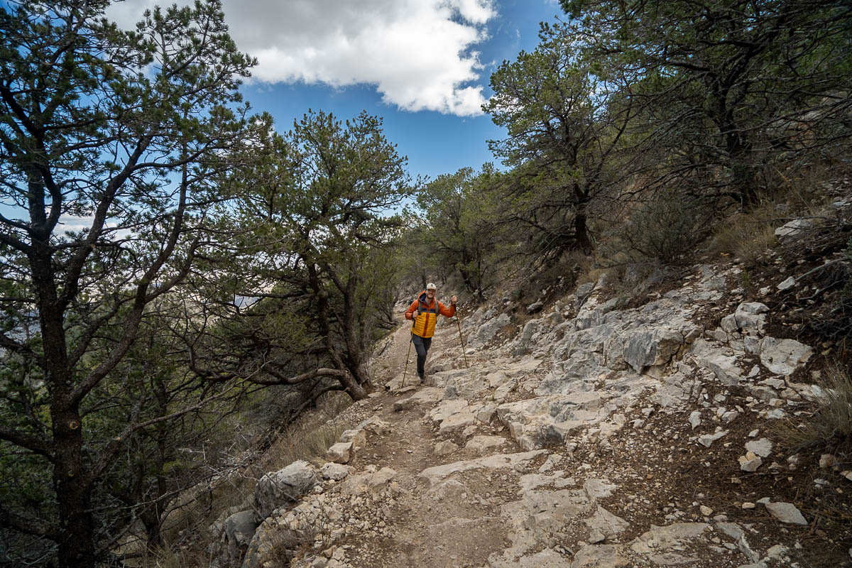
As you keep climbing up this ridge line, the landscape transitions from a dry desert to a dense pine tree forest, which provides welcome shade on warm days. Plus, the trail flattens out even more here!
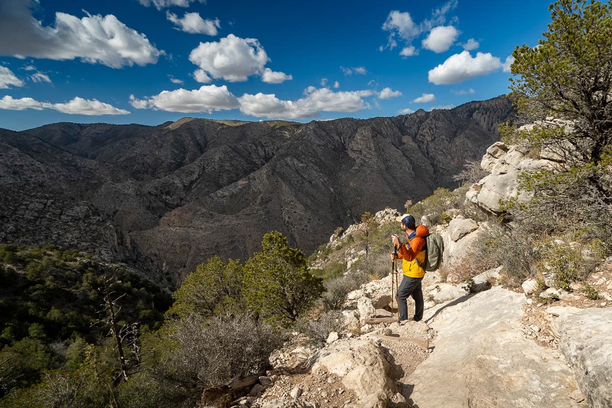
At three miles in, you’ll pop out of the tree line, allowing you to enjoy stunning views of Hunter Peak to the north and, to the south, the sprawling Chihuahuan Desert below. There’s a few more spots here with sketchy drop-offs—thankfully, the trail is quite wide but, still, be sure to watch your footing!
You’ll see a peak rising directly in front of you. I definitely got excited during this section, thinking we could see our final ascent, but alas, it’s actually a false summit. Still, you’re almost there!
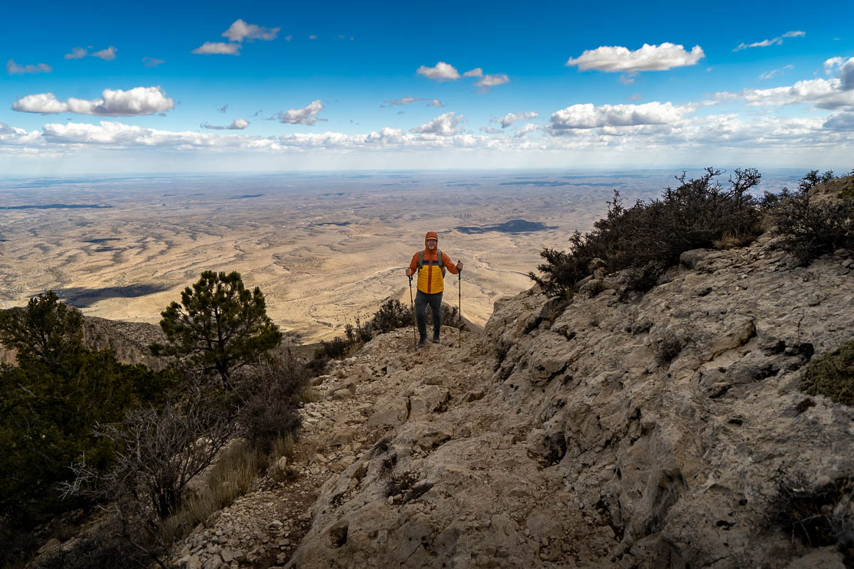
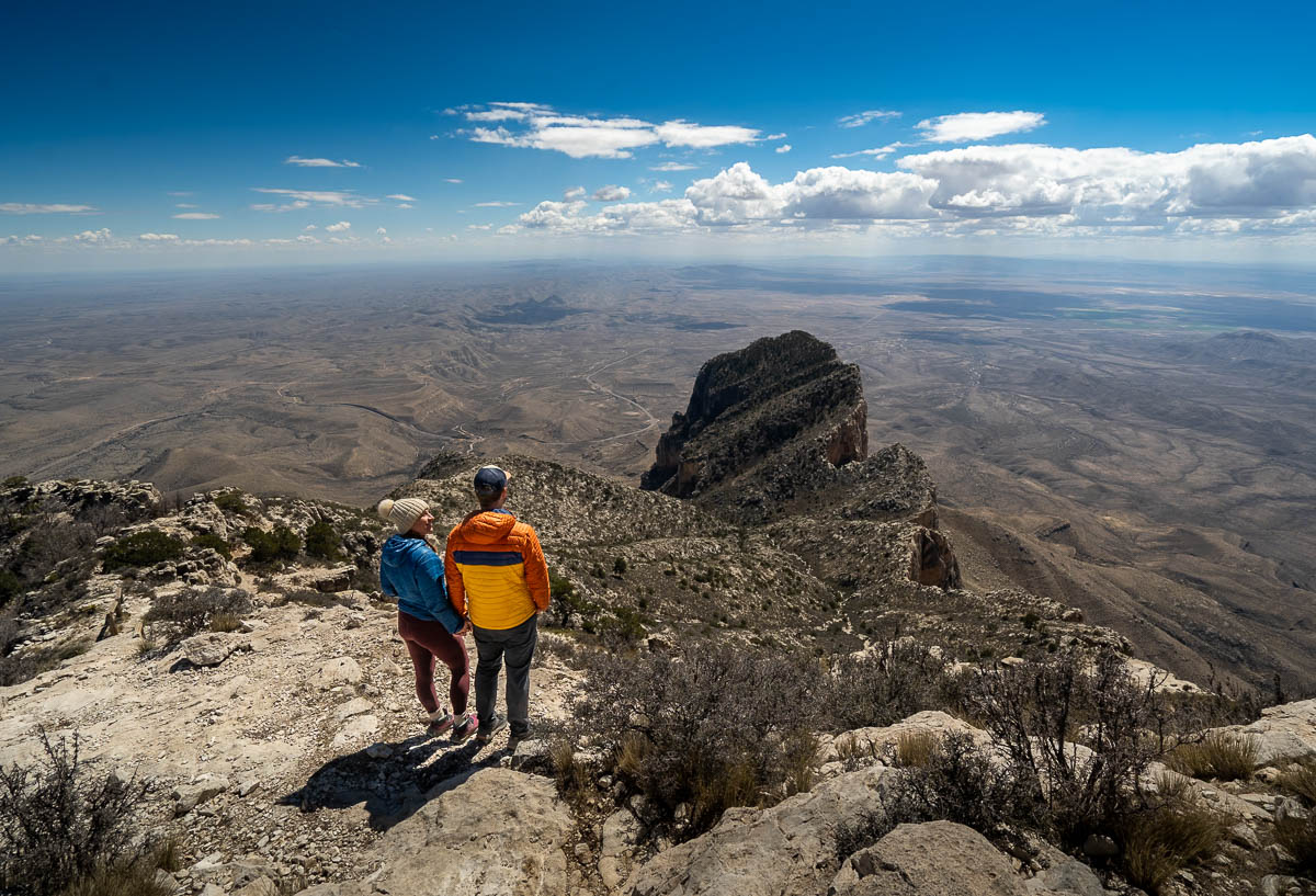
The last half mile is a steep climb up a rocky and uneven trail, but the views here are so fantastic, you won’t even notice your burning calves. To the south, you have spectacular vistas overlooking El Capitan, a unique limestone formation that towers at 8.085 feet tall (making it the eighth tallest mountain in Texas!).
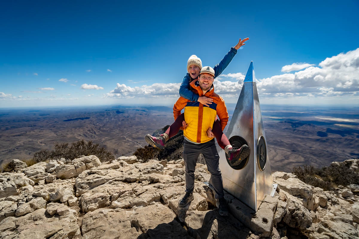
Finally, you’ll reach the flat ridgeline at the summit, which offers jaw-dropping views in every direction, from the white salt flats to the south to Hunter Peak to the north and hundreds of miles of the Chihuahuan Desert to the east. And, of course, you’ll get to take a photo with the unique silver pyramid that stands at the summit.
Why is there a pyramid on top of Guadalupe Peak?
Beyond just being the tallest mountain in Texas, Guadalupe Peak is the only mountain I’ve ever seen with a silver obelisk perched at its summit. So… what’s up with that?
In short, the monument was donated by American Airlines in 1958 to honor the 100th anniversary of the Butterfield Overland Mail, the first overland mail carrier that brought mail from St. Louis, right past Guadalupe Peak, all the way to San Francisco.
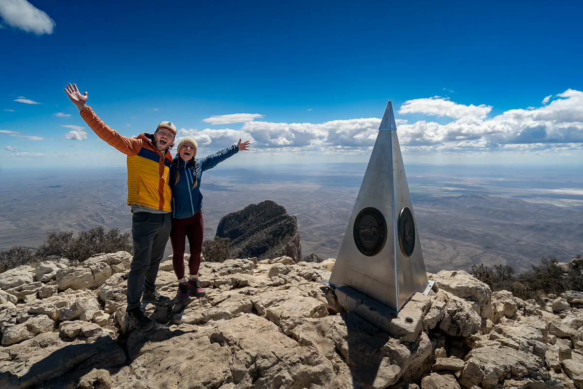
During the 1930s, American Airlines was granted the first government contract to provide air mail services, so the monument is intended to honor the pioneering men and women that brought mail by land and by air across the country for the very first time.
Returning to the trailhead
Once you’re done admiring the views and the quirky obelisk, simply retrace your footsteps back to the trailhead.
While there’s nothing particularly technically challenging about the return hike, I’d strongly suggest bringing trekking poles to provide extra support for your knees.
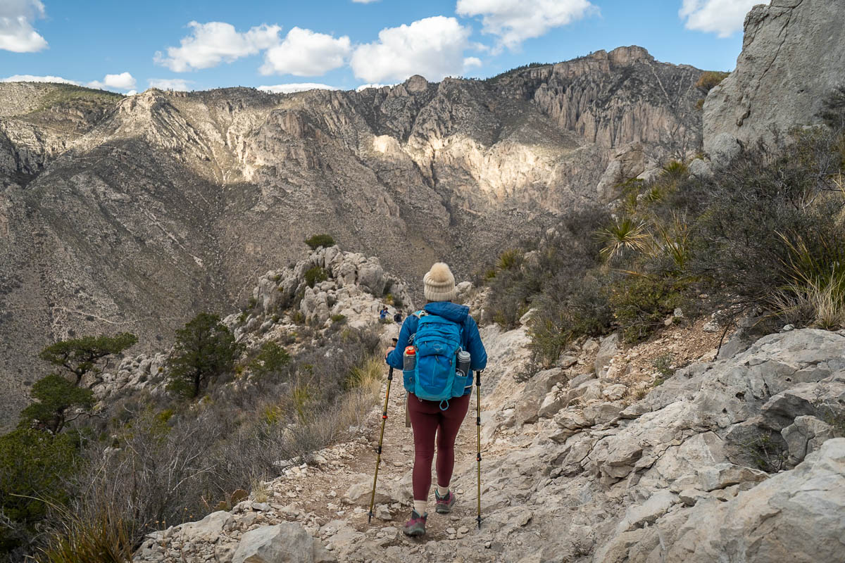
Prior to climbing Guadalupe Peak, Justin and I were decidedly not trekking pole people. However, after reading tons of reviews of how rough the hike down was on your knees, we decided to go buy some—and I’m SO glad we did!
The way down can be quite steep and rocky and we passed several other hikers, who were slowly hobbling their way down the mountain due to intense knee pain. So bring trekking poles and thank me later!
Adding on Devil’s Hall Trail to Guadalupe Peak
If you’re a true hiking beast, you can choose to add on the Devil’s Hall Trail after summiting the tallest mountain in Texas.
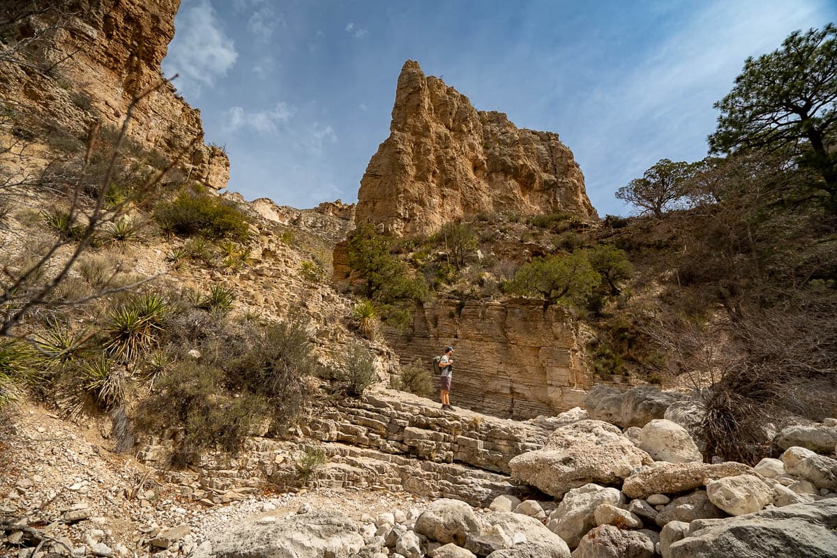
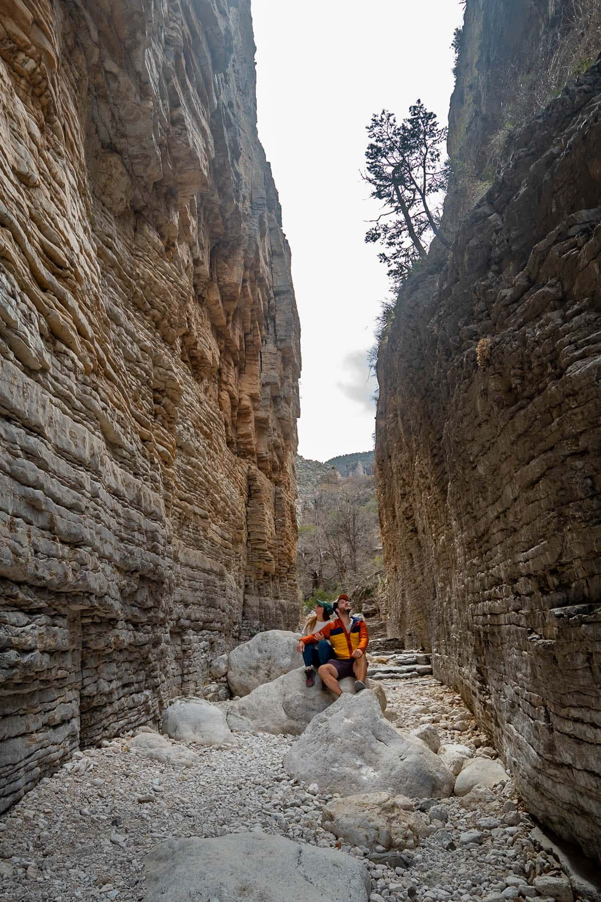
This unique trail, which takes you to some really cool rock formations and a narrow slot canyon, overlaps a bit with Guadalupe Peak. So, if you’re up for the task, it *only* adds 2.9 miles and about 500 feet of elevation gain total to your hike.
Here’s the stats if you decide to combine Guadalupe Peak and the Devil’s Hall Trail:
- Length: 11.1 miles
- Elevation gain: 3,349 feet
- Difficulty: Really frickin’ tough! The Guadalupe Peak Trail is hard in and of itself, but the Devil’s Hall Trail requires you to scramble over boulders of various sizes for approximately two miles, which can be challenging, especially when you’re already exhausted. I’d really only suggest combining these two trails if you’re an experienced hiker and feel like you still have decent energy left after hiking up to Guadalupe Peak.
If you’re up to the challenge of adding it on, hike to Guadalupe Peak and retrace your steps back towards the trailhead, until you’re 7.3 miles into your hike. Here, you’ll notice the aforementioned “No stock beyond this point” sign and a trail leading downhill to the left hand side. Follow this trail to the left, which will take you downhill for about 0.7 miles and spit you out into a rocky wash.
The wash continues for about a mile, through a field of boulders of varying sizes, until you finally reach the Devil’s Hall slot canyon.
Once you’ve reached the end, you’ll follow the northern portion of the Guadalupe Peak stock trail back to the trailhead.
Even if you don’t have the energy to combine these two trails, I’d definitely suggest doing each of them on separate days. This is admittedly what Justin and I did and I think our experience was arguably more enjoyable for it!
When to hike the Guadalupe Peak Trail
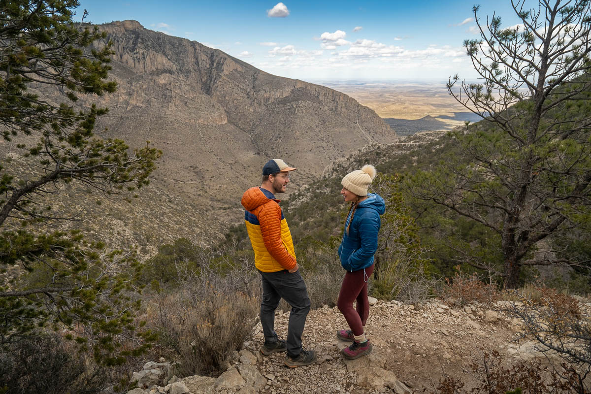
The best time to hike the Guadalupe Peak Trail is in the spring (March through April) or the fall (September through October) when the temperatures are pleasantly warm and the skies are clear. We hiked it in early March and, besides the crazy wind, the weather was absolutely perfect!
In the summertime (May through August), it’s not unusual for the heat index to exceed 100 degrees—yikes!
So, if you decide to visit during this timeframe, I’d strongly suggest starting your hike bright and early (like, before sunrise early) so you can beat the hottest part of the day.
You should also bring along TONS of water and electrolytes. The National Park Service actually suggests packing at least a gallon of water per person and, given how challenging the hike up to Guadalupe Peak is, you might want to consider bringing even more with you! While we were on the trail, we actually met a search and rescue volunteer and she told us that severe dehydration is the number one injury in the Guadalupe Mountains.
The wintertime can be a nice time to visit as well, with limited crowds and colder weather to keep you nice and cool as you climb the steep switchbacks of the Guadalupe Peak Trail.
That being said, it’s not unusual for the weather to drop below freezing at nighttime, so it might be a good idea to bring along microspikes, in case you run into ice patches and need some extra traction (did I mention there are some steep drop-offs here?).
Regardless of what time of year you visit, I’d recommend checking the weather ahead of time, to confirm how hot and windy the trail will be. It’s not unusual for the summit to get gusts up to 115 miles per hour, which can make for an unpleasant—and potentially dangerous—hike.
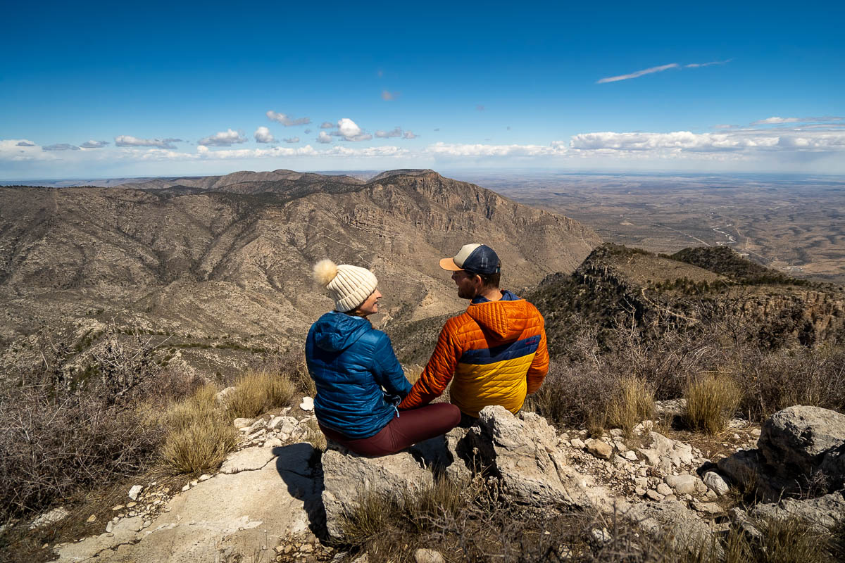
If the wind is going to be above 50 miles per hour or so, I’d recommend considering rescheduling your visit for another day. We went on a day with gusts that were approximately that strong. At times, it felt like we were going to get blown over and it was challenging to maintain our balance. Climbing the tallest mountain in Texas is cool and all, but accidentally getting blown off one of its cliffs (did I mention the steep drop-offs here?) is not so cool.
Tips for the Guadalupe Peak Trail
You can camp along the trail
I didn’t realize this before hiking to Guadalupe Peak, but there’s actually a Guadalupe Peak Wilderness Campground, about 3.1 miles into the trail, with five campsites.
To stay at the campground, you’ll need to pick up a permit, which you can snag here. Given the limited number of campsites, the permits can sell out, especially during busier time periods, like on weekends in the spring or the fall.
Accordingly, if you’re keen on staying overnight here (I know it’s on our bucket list!), I’d suggest booking your permit as soon as you know you’re headed to the Guadalupe Mountains.
Start your hike early
You’ll have a better chance of snagging a parking spot, there will be less people on the trail, AND you’ll miss climbing uphill during the hottest parts of the day—what’s not to like?!
Pack the right gear
Like any good hikers, we’re all going to adhere to the Leave No Trace principles, including planning ahead and being prepared.
This means you’re going to pack:
- Plenty of water
- Warm layers for when you climb back down the mountain and for unexpected gusty conditions near the summit
- Trekking poles
- Sun protection—there’s limited shade along the trail, so packing sunscreen and sunglasses is a must!
Good luck hiking to the Top of Texas! Do you have any questions about the Guadalupe Peak Trail? Let us know in the comments below!

